Functional temporarily unavailable
Cities and villages of Ternopil district
Online travel guide to the settlements of Ternopil district
General information about Ternopil district
Ternopil district (Ternopilskyi) is located in the central part of Ternopil region, at the junction of historical and ethnographic regions of Halicia and Podillya. The rivers Seret and Strypa flow within the district, the eastern border runs along the river Zbruch.
Here lies the ridge of the Halician Tovtry (Medobory), the nature of which in this part is protected by the reserve "Medobory". Zarvanytsia Regional Landscape Park covers the natural areas around the Zarvanytsia Spiritual Center - one of the largest shrines of the Ukrainian Greek Catholic Church.
The district has one of the largest concentrations of ancient castles in Ukraine. In particular, the National Reserve "Ternopil Castles" includes Zbarazh Castle, where the reserve administration is loc ...
Ternopil district (Ternopilskyi) is located in the central part of Ternopil region, at the junction of historical and ethnographic regions of Halicia and Podillya. The rivers Seret and Strypa flow within the district, the eastern border runs along the river Zbruch.
Here lies the ridge of the Halician Tovtry (Medobory), the nature of which in this part is protected by the reserve "Medobory". Zarvanytsia Regional Landscape Park covers the natural areas around the Zarvanytsia Spiritual Center - one of the largest shrines of the Ukrainian Greek Catholic Church.
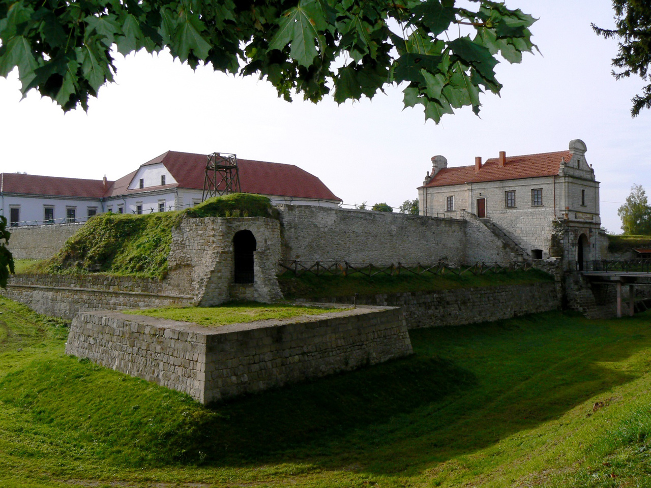
The district has one of the largest concentrations of ancient castles in Ukraine. In particular, the National Reserve "Ternopil Castles" includes Zbarazh Castle, where the reserve administration is located, Berezhany Castle, Mykulynets Castle, Skalat Castle, Terebovlya Castle. Several more castles have been partially preserved.
The administrative center of Ternopilskyi district is the regional center, the city of Ternopil. There are such historical and cultural monuments as Ternopil Castle, Dominican Church, Exaltation Church, Ternopil Historical and Memorial Museum of Political Prisoners. One of the symbols of the city is the Ternopil pond, which is part of the Zahrebellia Regional Landscape Park together with the Ternopil Arboretum and Zdorovia Park.
The area of the district is 6162 square kilometers. The population of the district reaches 567 thousand people.
The Ternopil district includes 492 settlements, which are united in 25 territorial hromadas: Berezhanska, Zbarazhska, Zborivska, Pidhaietska, Skalatska, Terebovlianska and Ternopilska city hromadas, Velykoberezovytska, Velykobirkivska, Zalozetska, Kozivska, Kozlivska, Mykulynetska and Pidvolochyska settlement hromadas, Baikovetska, Biletska, Velykohaivska, Zolotnykivska, Ivanivska, Kupchynetska, Naraivska, Ozernianska, Pidhorodnianska, Saranchukivska and Skorykivska village territorial hromadas.
Тернопільський район розташований у центральній частині Тернопільської області, на стику історико-етнографічних регіонів Галичини та Поділля. В межах району протікають річки Серет і Стрипа, східна межа проходить по річці Збруч.
Тут пролягає гряда Галицьких Товтрів (Медоборів), природу яких у цій частині охороняє заповідник "Медобори". Зарваницький регіональний ландшафтний парк охоплює природні території навколо Зарваницького духовного центру - однієї з найбільших святинь Української греко-католицької церкви.
Район має одну з найбільших в Україні концентрацій старовинних замків на своїй території. Зокрема, до складу Національного заповідника "Замки Тернопілля" входять Збаразький замок, де розташовується адміністрація заповідника, Бережанський замок, Микули ...
Тернопільський район розташований у центральній частині Тернопільської області, на стику історико-етнографічних регіонів Галичини та Поділля. В межах району протікають річки Серет і Стрипа, східна межа проходить по річці Збруч.
Тут пролягає гряда Галицьких Товтрів (Медоборів), природу яких у цій частині охороняє заповідник "Медобори". Зарваницький регіональний ландшафтний парк охоплює природні території навколо Зарваницького духовного центру - однієї з найбільших святинь Української греко-католицької церкви.
Район має одну з найбільших в Україні концентрацій старовинних замків на своїй території. Зокрема, до складу Національного заповідника "Замки Тернопілля" входять Збаразький замок, де розташовується адміністрація заповідника, Бережанський замок, Микулинецький замок, Скалатський замок, Теребовлянський замок. Ще кілька замків збереглися частково.
Адміністративним центром Тернопільського району є обласний центр, місто Тернопіль. Тут розташовані такі історико-культурні пам'ятки, як Тернопільський замок, Домініканський костел, Воздвиженська церква, Тернопільський історико-меморіальний музей політичних в'язнів. Одним із символів міста вважається Тернопільський став, що є частиною Регіонального ландшафтного парку "Загребелля" разом із Тернопільським дендропарком і парком "Здоров'я".
Площа території району становить 6162 квадратних кілометрів. Чисельність населення району сягає 567 тисяч осіб.
До складу Тернопільського району входять 492 населені пункти, які об'єднані у 25 територіальних громад: Бережанську, Збаразьку, Зборівську, Підгаєцьку, Скалатську, Теребовлянську і Тернопільську міські, Великоберезовицьку, Великобірківську, Залозецьку, Козівську, Козлівську, Микулинецьку та Підволочиську селищні, Байковецьку, Білецьку, Великогаївську, Золотниківську, Іванівську, Купчинецьку, Нараївську, Озернянську, Підгороднянську, Саранчуківську і Скориківську сільські територіальні громади.


