Functional temporarily unavailable
Cities and villages of Kremenchuk district
Online travel guide to the settlements of Kremenchuk district
General information about Kremenchuk district
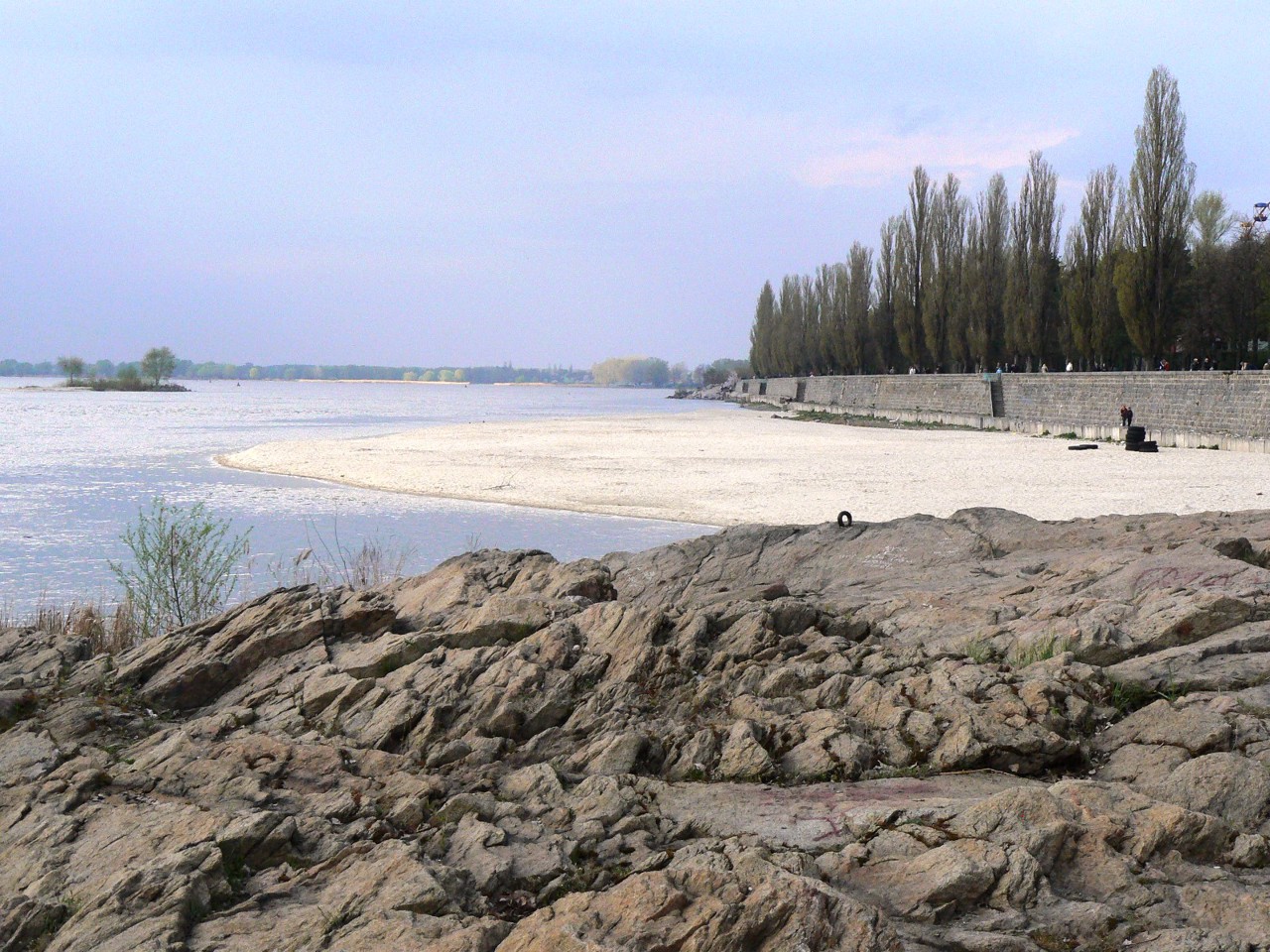
Kremenchuk district (Kremenchutskyi) is located in the southwestern part of Poltava region, in the historical and ethnographic region of the Middle Dnipro. The territory of the district is crossed by the Dnipro River, where the Psel and Sula rivers flow into it.
The nature of the mouth of the Sula is protected by the Lower Sula National Nature Park. The highest point of Poltava region and the Dnipro part of the Left Bank of Ukraine is considered to be Mount Pyvykha, located in the town of Hradizk. Ustymivka Dendrological Park has the status of an arboretum of national importance.
The administrative center of Kremenchutskyi district is the large industrial city of Kremenchuk. The water area, islands and the coastal strip of the Dnipro between the left-bank and right-bank part ...
Kremenchuk district (Kremenchutskyi) is located in the southwestern part of Poltava region, in the historical and ethnographic region of the Middle Dnipro. The territory of the district is crossed by the Dnipro River, where the Psel and Sula rivers flow into it.
The nature of the mouth of the Sula is protected by the Lower Sula National Nature Park. The highest point of Poltava region and the Dnipro part of the Left Bank of Ukraine is considered to be Mount Pyvykha, located in the town of Hradizk. Ustymivka Dendrological Park has the status of an arboretum of national importance.
The administrative center of Kremenchutskyi district is the large industrial city of Kremenchuk. The water area, islands and the coastal strip of the Dnipro between the left-bank and right-bank parts of Kremenchuk are part of the Regional Landscape Park "Kremenchuh Floods". Architectural monuments are the Church of the Assumption, the club after Ivan Kotlov and the House for monitoring the movement of ships on the Dnipro. The architectural monument of national importance is the Cathedral of the Nativity of the Virgin in the village of Kozelshchyna.
The area of the district is more than 6105 square kilometers. The population of the district reaches 400 thousand people.
The Kremenchuk district includes 325 settlements, which are united in 12 territorial hromadas: Kremenchutska, Hlobynska and Horishnoplavnivska city hromadas, Hradyzka, Kozelshchynska and Semenivska settlement hromadas, Kamyanopotokivska, Novohaleshchynska, Obolonska, Omelnytska, Pishchanska and Pryshybska village territorial hromadas.
Кременчуцький район розташований у південно-західній частині Полтавської області, в історико-етнографічному регіоні Середнього Подніпров'я. Територію району перетинає річка Дніпро, тут в неї впадають річки Псел і Сула.
Природу гирла Сули охороняє Нижньосульський національний природний парк. Найвищою точкою Полтавщини та придніпровської частини Лівобережної України вважають гору Пивиху, що в селищі міського типу Градизьк. Устимівський дендрологічний парк має статус дендропарку загальнодержавного значення.
Адміністративним центром Кременчуцького району є велике індустріальне місто Кременчук. Акваторія, острови та прибережна смуга Дніпра між лівобережною і правобережною частинами Кременчука входять до Регіонального ландшафтного парку "Кременчуцькі плавні". Пам' ...
Кременчуцький район розташований у південно-західній частині Полтавської області, в історико-етнографічному регіоні Середнього Подніпров'я. Територію району перетинає річка Дніпро, тут в неї впадають річки Псел і Сула.
Природу гирла Сули охороняє Нижньосульський національний природний парк. Найвищою точкою Полтавщини та придніпровської частини Лівобережної України вважають гору Пивиху, що в селищі міського типу Градизьк. Устимівський дендрологічний парк має статус дендропарку загальнодержавного значення.
Адміністративним центром Кременчуцького району є велике індустріальне місто Кременчук. Акваторія, острови та прибережна смуга Дніпра між лівобережною і правобережною частинами Кременчука входять до Регіонального ландшафтного парку "Кременчуцькі плавні". Пам'ятками архітектури є Успенська церква, клуб імені Івана Котлова та Будинок для спостереження за рухом суден по Дніпру. Крім того, пам'яткою архітектури національного значення є собор Різдва Богородиці в селищі міського типу Козельщина.
Площа території району становить понад 6105 квадратних кілометрів. Чисельність населення району сягає 400 тисяч осіб.
До складу Кременчуцького району входять 325 населених пунктів, які об'єднані у 12 територіальних громад: Кременчуцька, Глобинська, Горішньоплавнівська міські, Градизька, Козельщинська, Семенівська селищні, Кам'янопотоківська, Новогалещинська, Оболонська, Омельницька, Піщанська, Пришибська сільські територіальні громади.


