Functional temporarily unavailable
General information about Shepit
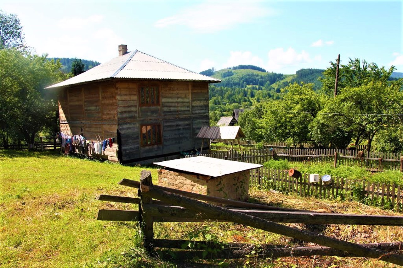
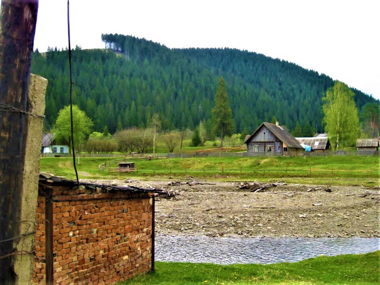
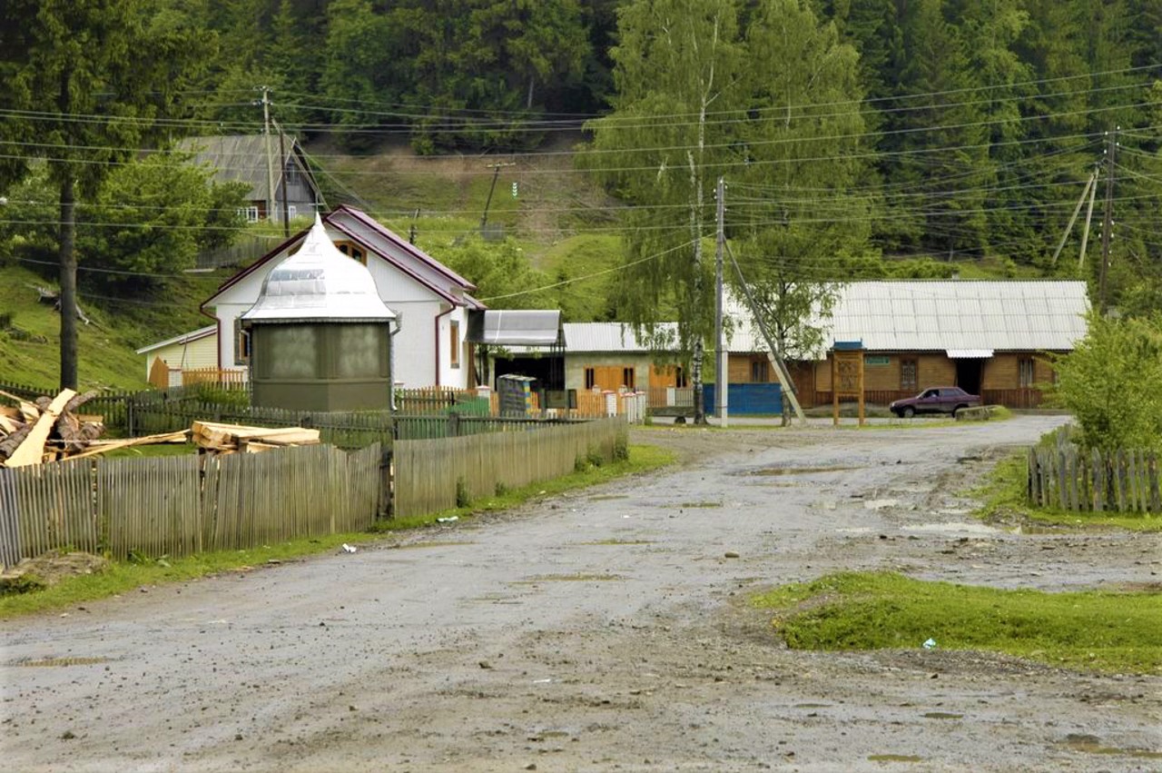
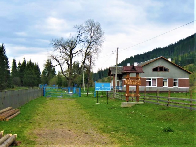
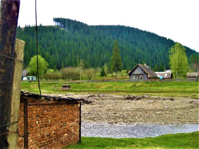
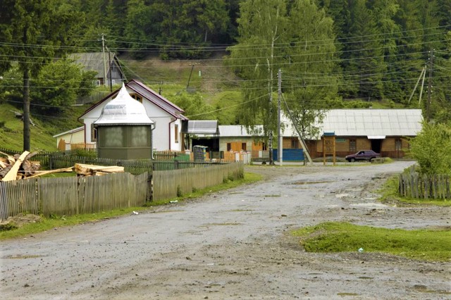
The border village of Shepit on the Suchava River is located 30 kilometers south of Putyla, on the territory of the Bukovyna part of the Hutsul Region, not far from the Dzhohol pass (1159 meters).
Known since 1490. It was part of Austria-Hungary, then Romania. Until 1946, it was called Shipit-Cameral.
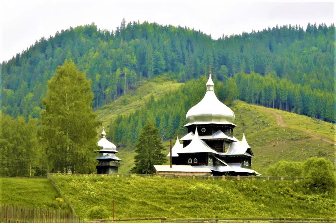
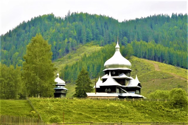
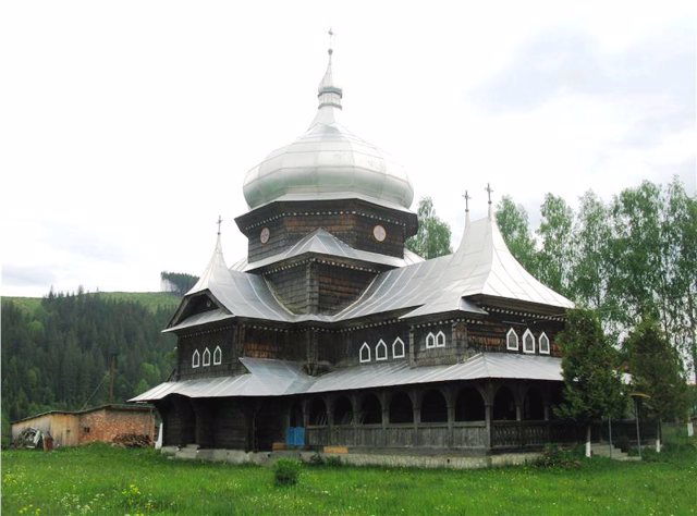
The wooden Saint Illya church (1898) has been preserved.
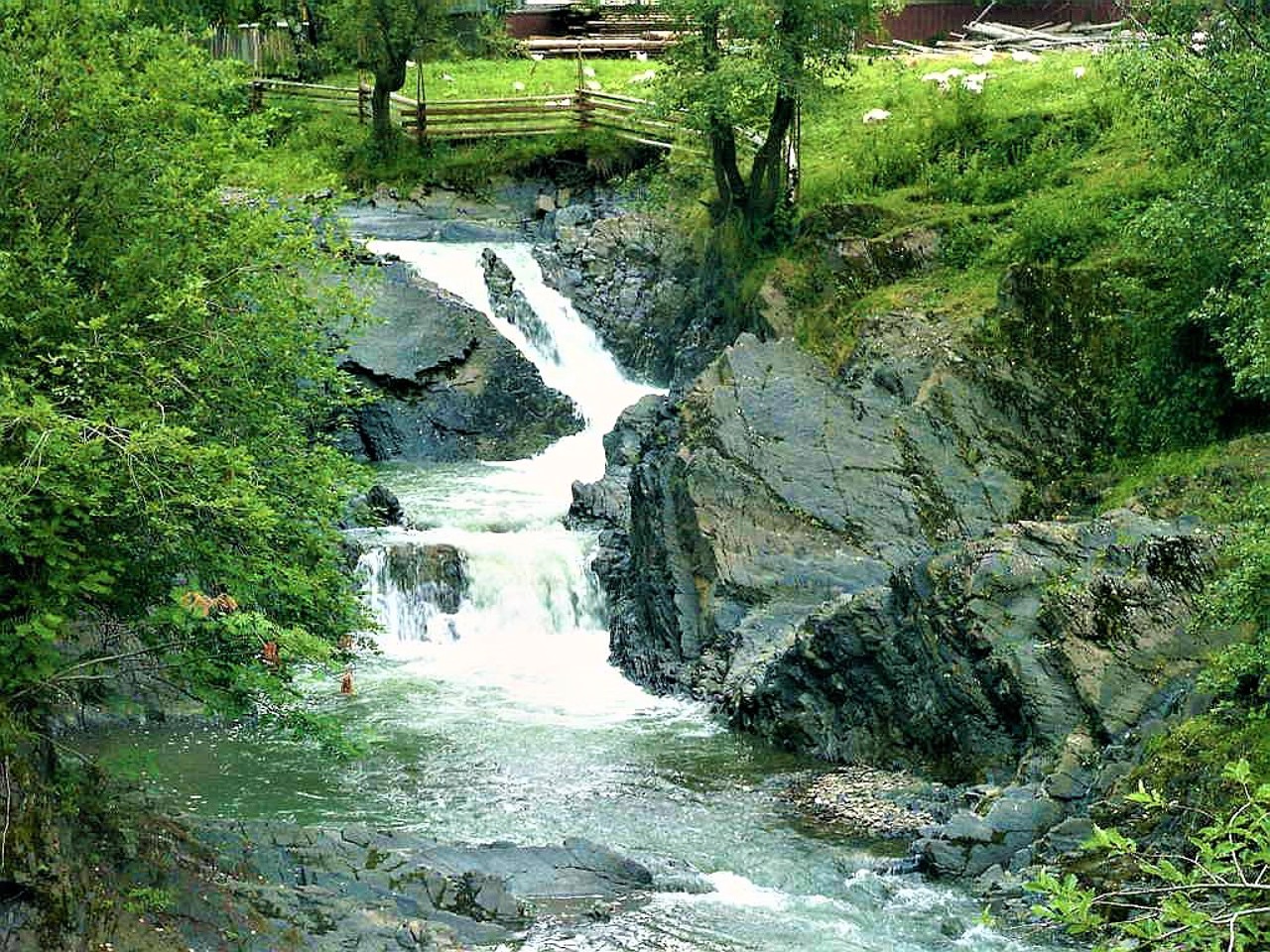
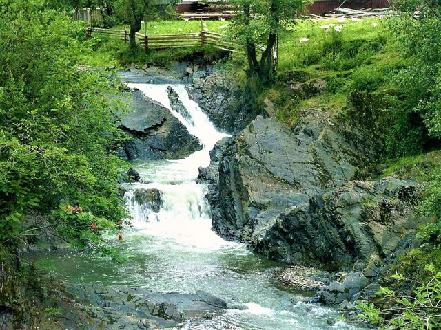
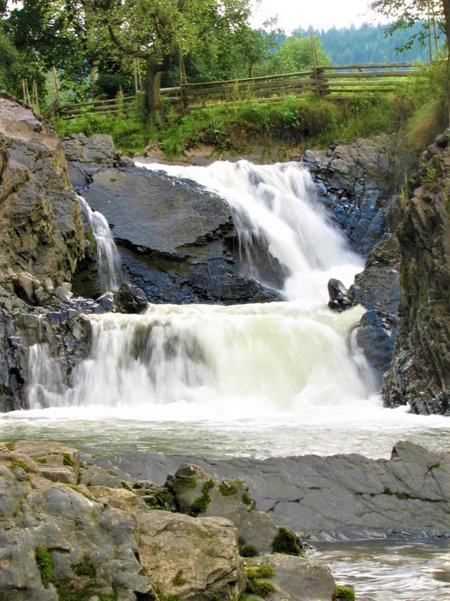
In the village there is a cascading waterfall Suchavskyi Huk.
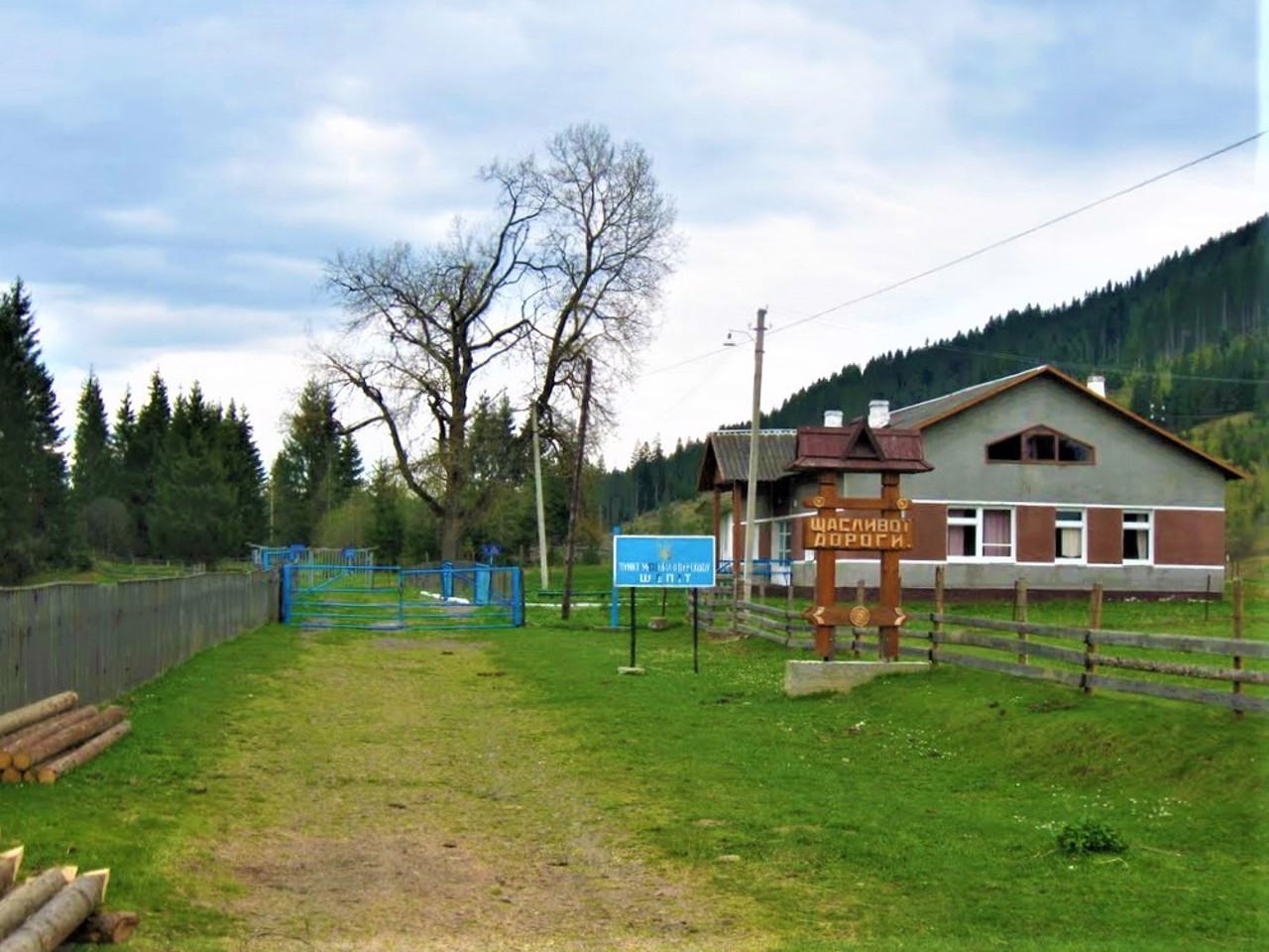
The Ukrainian-Romanian border runs along the river along the village. There is a local border crossing point.
Прикордоне село Шепіт на річці Сучава розташоване в 30 кілометрах на південь від Путили, на території буковинської частини Гуцульщини, неподалік від перевалу Джоголь (1159 метрів).
Відоме з 1490 року. Входило до складу Австро-Угорщини, потім Румунії. До 1946 року називалося Шипіт-Камерал.
Збереглася дерев'яна Іллінська церква (1898 рік).
В селі розташований каскадний водоспад Сучавський Гук.
По річці вздовж села проходить українсько-румунський кордон. Діє місцевий прикордонний пунт пропуску.
Сплануй своє перебування у Shepit
What to see and where to go in Shepit
Tourist attractions and museums of Shepit

"Suchavsky Huk" Waterfall
Natural object
The "Suchavsky Huk" cascading waterfall is located on the Suchava River near the center of Shepit village.
It is a cascade with three ledges with a total height of 5 meters.

Radar station "Pamir"
Historic area
The military base with the Soviet air defense radar station "Pamir" is located on Mount Tomnatyk, within the Vyzhnytskyi district of Chernivtsi region, southwest of the village of Shepit and northwest of the Semenchuk pass.
It operated from 1960 to 1989. It is currently abandoned.
One of the domes of the radar station "Pamir" is painted like an Easter egg. Dzhamala's music video for the song "1944" was filmed here.
Saint Elijah Church
Temple , Architecture
The wooden church of Saint Elijah is located in the center of Shepit village. It was built in 1898 on the site of the old Assumption Church, erected in 1763 in honor of the 60th anniversary of the reign of Emperor Frants Yosyf.
The Church of Saint Elijah in Shepit is a successful combination of the traditional architecture of a single-domed church characteristic of Bukovyna and the modern architecture prevailing at the end of the 19th century. The architectural dominant is a massive dome in the form of a flattened bulb. The steep roofs above the narthex and the altar are finished with pointed ridges. A characteristic detail is small arrow windows with multi-colored glass.
The temple houses the imperial throne, which, during the collapse of the Austrian Empire in 1918, was not taken away from Vienna and left in Shepit.
Reviews Shepit
Geographical information about Shepit
| {{itemKey}} | {{itemValue}} |
|---|---|
| Region |
Chernivtsi |
