Functional temporarily unavailable
Chornomorske
Travel guide online Chornomorske
General information about Chornomorske
The town Chornomorske is located on the Tarkhankut Peninsula, 63 kilometers from Yevpatoriia, on the shore of the Vuzka Bay, which is known from Greek sources as Kalos-Limen - Beautiful Harbor.
In the 4th-3rd centuries AD, there was an ancient Greek city on this site, the traces of which have survived to this day.
The former Tatar town Ak-Mechet ("white mosque") received its name Chornomorske in 1944 after the forced deportation of Crimean Tatars by the Soviet occupiers from Crimea to Central Asia.
The beaches in Chornomorske are sandy, the sea is shallow.
Селище Чорноморське розташоване на півострові Тарханкут в 63 кілометрах від Євпаторії на березі бухти Вузька, яка відома з грецьких джерел як Калос-Лімен - Прекрасна Гавань.
В IV-III сторіччях донашої ери на цьому місці існувало давньогрецьке місто, сліди якого збереглися до наших днів.
Назву Чорноморське колишнє татарське селище Ак-Мечеть ( "біла мечеть") отримало в 1944 році після примусової депортації кримських татар радянськими окупантами із Криму до Середньої Азії.
Пляж у Чорноморському піщаний, море неглибоке.
Сплануй своє перебування у Chornomorske
What to see and where to go in Chornomorske
Tourist attractions and museums of Chornomorske

Kalos-Limen Hillfort
Historic area , Castle / fortress , Archaeological site
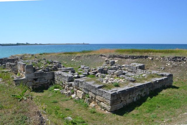
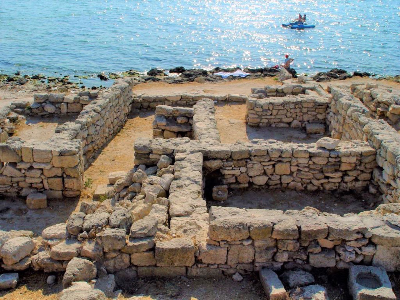
The ruins of the fortified ancient city of Kalos-Limen are located on the shore of the present-day Narrow Bay in the Chornomorske.
The settlement of Kalos Limen (in Greek - "Beautiful Harbor") was founded during the period of Greek colonization of the Black Sea region around the 4th century BC. As a result of the constant military threat from the Scythians and Sarmatians, the city was significantly fortified. It was surrounded by a fortress wall with quadrangular towers, and near the bay itself was a 16-meter multi-towered citadel, resembling a pyramid in shape. In the basements, food supplies were stored in case of a siege, and on the upper floors there was a command post and throwing cannons were installed. The building also served as a lighthouse.
Having passed several times from the hands of the Greeks, Scythians and Romans, in the 1st century AD the city fell under the blows of the Sarmatians.
Now this is the territory of the national historical and archaeological reserve "Kalos-Limen". Archaeologists discovered the foundation of the citadel (a modern lighthouse is installed on it) and many other buildings. Access to the territory is free.
Reviews Chornomorske
Geographical information about Chornomorske
| {{itemKey}} | {{itemValue}} |
|---|---|
| Region |
Autonomous Republic of Crimea |


