Functional temporarily unavailable
General information about Inhulske
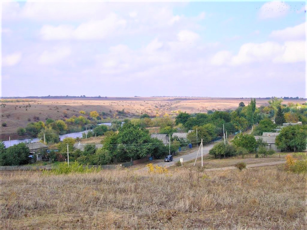
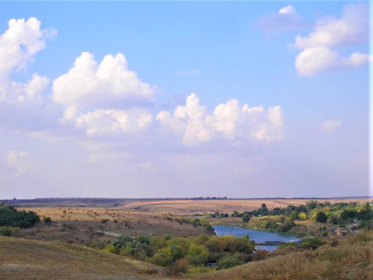
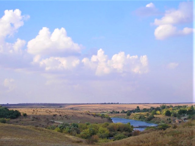
The village of Inhulske on the Inhul River is located 20 kilometers northwest of Ustynivka.
According to legend, the Chumatsky route passed here, and the salt carriers were the first to notice this place, stopping at the so-called Chumatska Balka for a rest stop.
Active settlement of these lands began in the 18th century after the permission of the Kosh chieftain Petro Kalnyshevskyi to settle samoselams on the lands of the Zaporizhzhians and as a result of the planned colonization policy of the Russian Empire.
Inhulske was founded in the 19th century next to the village of Hanno-Trebinivka, which belonged to the landowner Trebinsky from Cherkasy region. Not far from the village, a pre-Christian te ...
The village of Inhulske on the Inhul River is located 20 kilometers northwest of Ustynivka.
According to legend, the Chumatsky route passed here, and the salt carriers were the first to notice this place, stopping at the so-called Chumatska Balka for a rest stop.
Active settlement of these lands began in the 18th century after the permission of the Kosh chieftain Petro Kalnyshevskyi to settle samoselams on the lands of the Zaporizhzhians and as a result of the planned colonization policy of the Russian Empire.
Inhulske was founded in the 19th century next to the village of Hanno-Trebinivka, which belonged to the landowner Trebinsky from Cherkasy region. Not far from the village, a pre-Christian temple called the Monastery was discovered.
Село Інгульське на річці Інгул розташоване в 20 кілометрах на північний захід від Устинівки.
За переказами, тут проходив чумацький шлях, і перевізники солі першими примітили це місце, зупиняючись в так званій Чумацькій балці на привал.
Активне заселення цих земель почалося в XVIII столітті після дозволу кошового отамана Петра Калнишевського осідати самоселам на землях запорожців і в результаті планомірної колонізаційної політики Російської імперії.
Інгульське засноване в XIX столітті поруч з селом Ганно-Требинівка, що належало поміщику Требінському з Черкащини. Неподалік від села виявлено дохристиянське капище, яке називають Монастирищем.
Сплануй своє перебування у Inhulske
What to see and where to go in Inhulske
Tourist attractions and museums of Inhulske
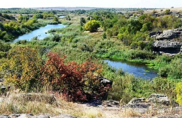
Monastyryshche Tract
Natural object , Reserve
The landscape complex "Monastyryshche Tract" is located on the banks of the Ingul river between the villages of Inhulske and Zavutrovo.
This is a pre-Christian temple, a pagan religious building with altars and pagan symbols on the stone. In the center of the tract is a large oval rock, which is washed by the Ingul River on one side, and is framed by a wide circular amphitheater on the other. The height of the rock is 13 meters, length - 50 meters, width - 20 meters. The northern, eastern and western walls are vertical, and the southern one is sloping. The whole building is paved with huge rectangular stone blocks. On the upper platform in various places there are many large shaped blocks - the result of the glacier's descent and weathering (according to another version, the figures were once carved by hand).
According to legend, a Cossack treasure is hidden in the rock. The entrance to the treasury is somewhere above, the exit is underwater in the middle of the river.
Plants characteristic of the southern part of the steppe region have been preserved on the slopes of the canyon and adjacent areas of Ingul.
Today it is a landscape reserve of national significance "Monastyryshche".
Inhulske on photo and video
Reviews Inhulske
Geographical information about Inhulske
| {{itemKey}} | {{itemValue}} |
|---|---|
| Region |
Kirovohrad |
