Functional temporarily unavailable
General information about Sorokyne
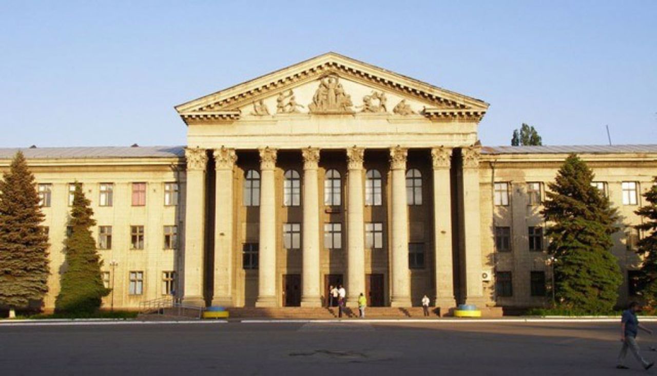
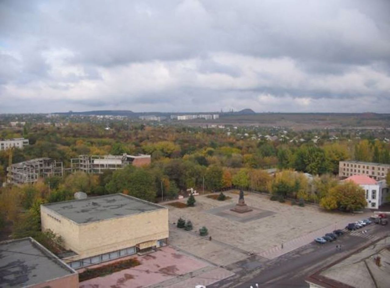
The large mining town of Sorokyne is located on the Velika Kamianka River, 50 kilometers from Luhansk.
Founded in 1913 as the Sorokyne mine. In 1938, it was renamed Krasnodon. During the Second World War, an underground Komsomol organization "Young Guard" operated in Krasnodon, a memorial complex was created.
In 2016, the historical name was restored.
Велике шахтарське місто Сорокине розташоване на річці Велика Кам'янка в 50 кілометрах від Луганська.
Засноване в 1913 році як копальня Сорокине. В 1938 році було перейменоване на Краснодон. В роки Другої світової війни в Краснодоні діяла підпільна комсомольська організація "Молода гвардія", створено меморіальний комплекс.
В 2016 році відновлено історичну назву.
Сплануй своє перебування у Sorokyne
What to see and where to go in Sorokyne
Reviews Sorokyne
Geographical information about Sorokyne
| {{itemKey}} | {{itemValue}} |
|---|---|
| Region |
Luhansk |


