Functional temporarily unavailable
Synevyrska Poliana
Travel guide online Synevyrska Poliana
General information about Synevyrska Poliana
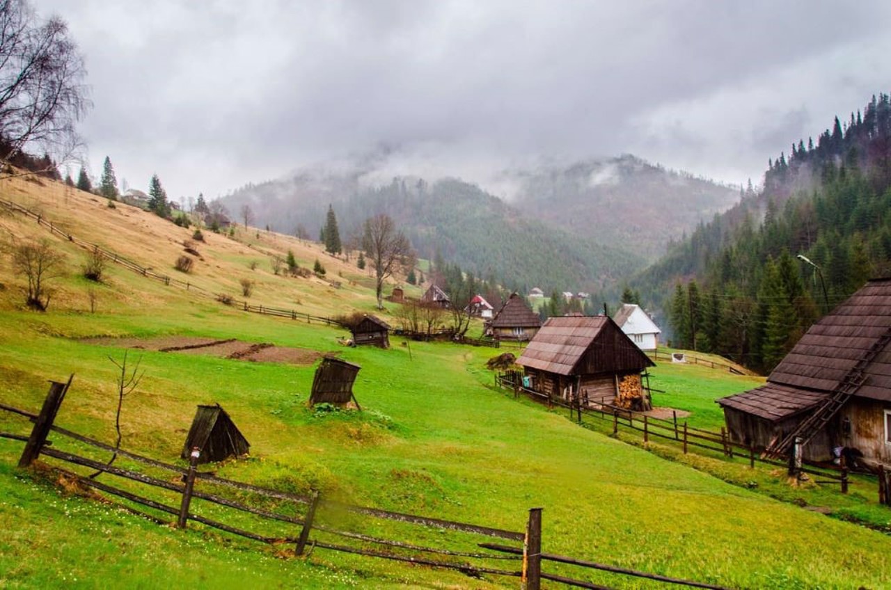
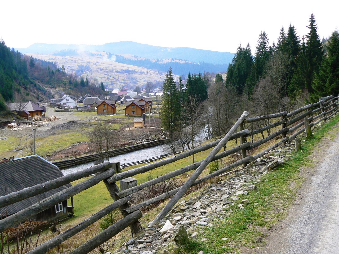
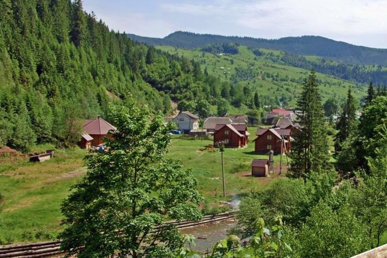
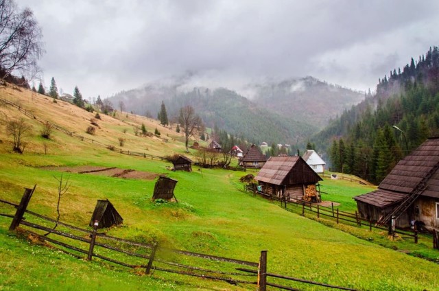
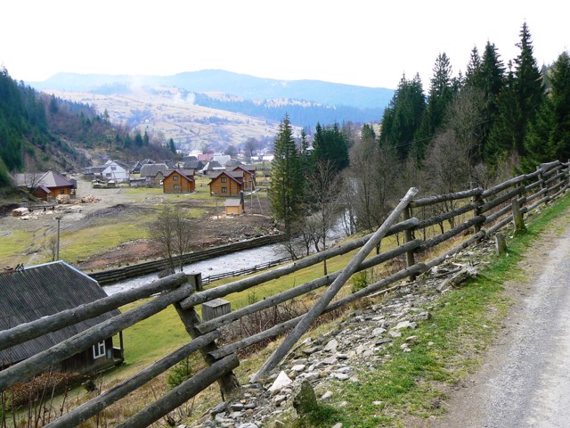
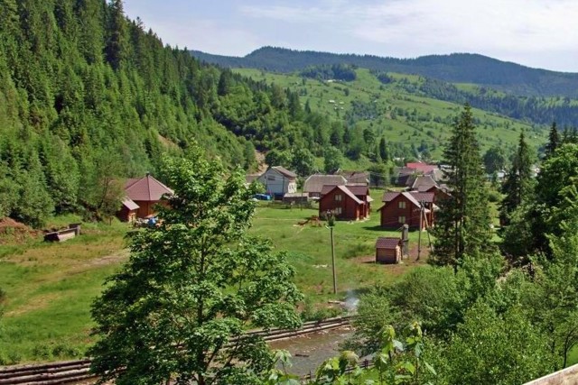
The mountain village of Synevyrska Poliana is located on the territory of the Synevyr National Park.
Near the village there is a unique alpine glacial lake Synevyr (989 m above sea level), nicknamed the "Sea Eye". It is surrounded by centuries-old emeralds, mountain trout is found in the clear water (angling is prohibited).
Tourist routes lead to the mountain valley Borzhava, the waterfall "Shypit", to the museum of timber rafting on the river Black. On the shore of the lake there is a shelter "Morske Oko", in the village there is a boarding house, a modern recreation center and several mini-hotels.
The tourist infrastructure is developing. In winter, the ski lift is open in snowy weather.
Гірське село Синевирська Поляна розташоване на території національного парку "Синевир".
Поруч із селом знаходиться унікальне високогірне льодовикове озеро Синевир (989 метрів над рівнем моря), яке прозвали "Морським оком". Його оточують вікові смереки, в прозорій воді водиться гірська форель (ловля заборонена).
Туристичні маршрути ведуть на гірську долину Боржаву, водоспад "Шипіт", до музею лісосплаву на річці Чорній. На березі озера знаходиться притулок "Морське око", в селі є пансіонат, сучасна база відпочинку і кілька міні-готелів.
Розвивається туристична інфраструктура. Взимку в снігову погоду працює гірськолижний підйомник.
Сплануй своє перебування у Synevyrska Poliana
What to see and where to go in Synevyrska Poliana
Tourist attractions and museums of Synevyrska Poliana
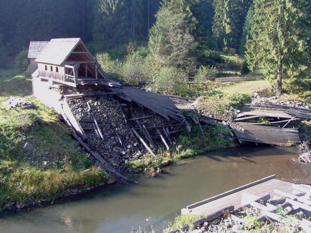
Forest and Wood Alloy Museum
Museum / gallery
The only European Forest and Wood Alloy Museum is a part of the Synevyr National Nature Park. It is located in the Sokolovets tract on the Chorna River, 3 kilometers from the road leading from the village of Synevyr to Synevyrska Poliana.
The museum was created on the Chorna River – in the place where a dam with a gate was built to release water in the middle of the 19th century. It was a complex of wooden structures, technical units and mechanisms 80 meters long and 5.5 meters wide. Wood from the mountains was floated from here to the valley and then delivered to Hungary. The dam functioned until 1960.
In 1976, the unique hydrotechnical structure was restored, and a wood-rafting museum was created on its basis. Here you could familiarize yourself with the technology of timber rafting, visit technical and residential premises, see the tools of loggers and woodcutters-bokorashs.
In 1998, due to excessive rainfall, the water level in the river rose sharply, the museum was partially destroyed, and the dam was damaged. Another flood in 2001 finally destroyed the dam.
Currently, part of the Museum of Forest and Wood Alloy exposition can be viewed in the Synevyr NNP Visitor Center, where it is temporarily located. The rest of the exposition is presented in one of the restored premises of the museum. The old bokorash hut has been repaired, the rafts that were used to bring down the wood have been built, and a real bokor (raft) is on display.
Restoration of the dam on the Chorna River is underway. There is a mini-hotel on the territory. The ecological trail to the Wild Lake starts from the museum.
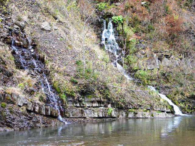
Kamyanka Waterfall
Natural object
The small Kamyanka waterfall is located on the slope of the mountain of the same name in the National Natural Park "Synevyr", next to the road leading from the village of Synevyr to the village of Synevyrska Poliana.
It is a series of small waterfalls. The height of the water drop of the largest stream is 6 meters.
It is convenient to drive to the Kamyanka waterfall.
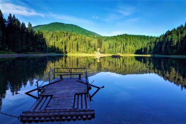
Synevyr Lake
Natural object
High-altitude glacial Lake Synevyr (989 meters above sea level) is located on the territory of the Synevyr National Nature Park. This is the largest and most beautiful lake in the Carpathians.
Syn and Vyr - this, according to an ancient legend, was the name of the blue-eyed princess and the shepherd who fell in love with her. Preventing their unequal marriage, the prince killed Vyr, and the tears from Syn eyes formed a whole lake. From the top of the nearby Ozerna mountain, it looks like a huge eye with an island pupil, which is why it is called the "Eye of the Sea".
Lake Synevyr was formed 10,000 years ago as a result of landslides covering the river valley. It is replenished by the waters of mountain streams. The size of the lake varies depending on the amount of precipitation. The average area is 4-5 hectares, the depth is 8-10 meters. The deepest point is 22 meters. The water is very clean, it seems bright blue. Lake, rainbow and brook trout are caught, but fishing is prohibited.
A Rehabilitation center for brown bears operates on the territory of the Synevyr Nature Reserve.
Reviews Synevyrska Poliana
Geographical information about Synevyrska Poliana
| {{itemKey}} | {{itemValue}} |
|---|---|
| Region |
Zakarpattia |
