Functional temporarily unavailable
General information about Synevyr
The Transcarpathian village of Synevyr is located on the Tereblia River, 7 km southeast of Mizhhiria, on the road to Synevyr Lake. The lake itself is located 15 kilometers north, near the village of Synevyrska Poliana.
The first settlements appeared here in the 15th century. Local residents were engaged in logging and rafting. Nearby are the remains of the "Arpad Line" fortifications, which passed here during World War II.
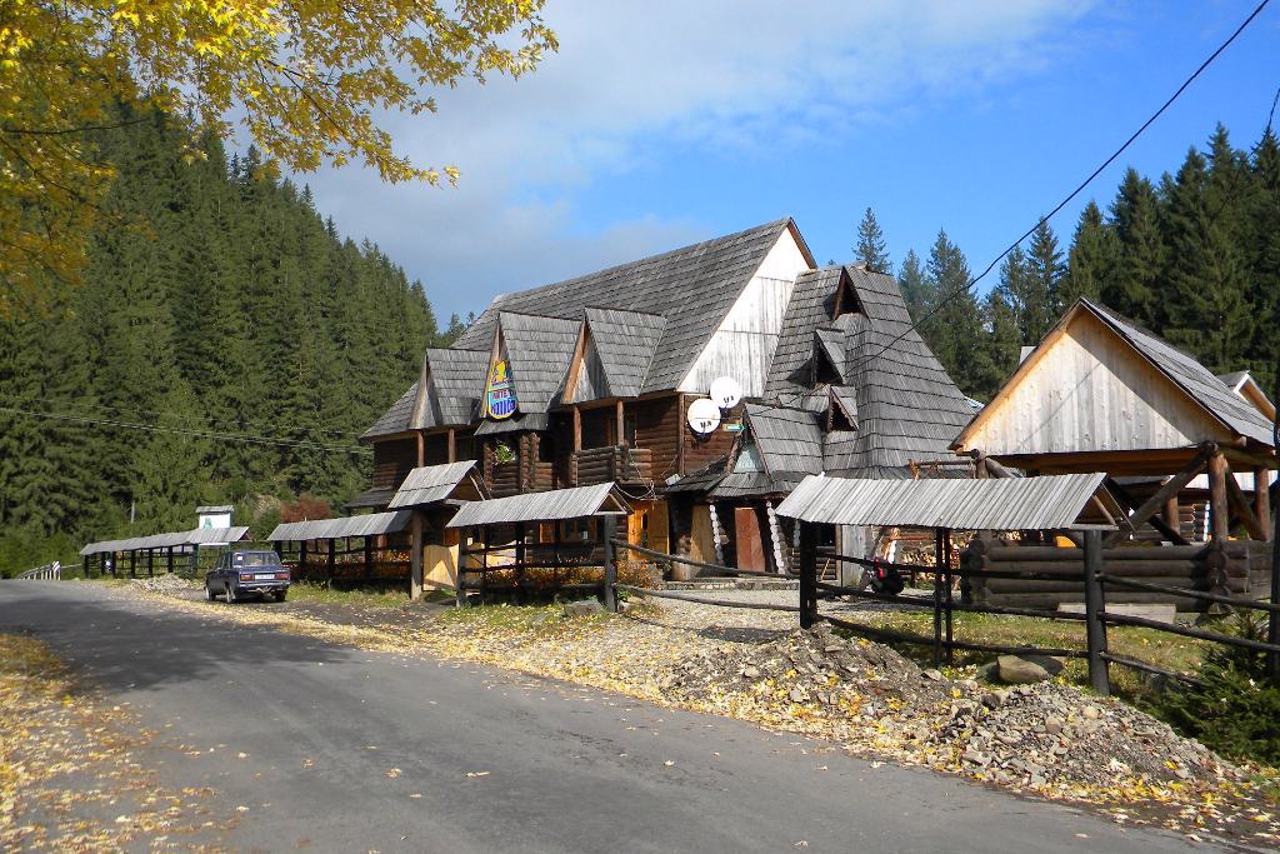
Green tourism is actively developing in the village - there are kolyby and mini-hotels. The road to the village of Synevyr from Mizhhiria through the Synevyr Pass, 960 meters high, is considered one of the most picturesque in the Carpathians.
Закарпатське село Синевир розташоване на річці Теребля за 7 км на південний схід від Міжгір'я, дорогою на озеро Синевир. Саме озеро знаходиться за 15 кілометрів на північ, біля села Синевирська Поляна.
Перші поселення тут з'явилися у XV столітті. Місцеві жителі займалися лісозаготівлею та лісосплавом. Неподалік знаходяться залишки укріплень "Лінії Арпада", що проходила тут під час Другої світової війни.
У селі активно розвивається зелений туризм – є колиби та міні-готелі. Дорога до села Синевир із Міжгір'я через Синевирський перевал заввишки 960 метрів вважається однією з наймальовничіших у Карпатах.
Сплануй своє перебування у Synevyr
What to see and where to go in Synevyr
Tourist attractions and museums of Synevyr
Brown Bear Rehabilitation Center
Zoo , Reserve
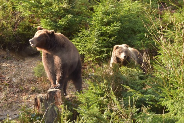
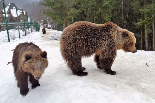
The largest rehabilitation center for brown bears in Ukraine was established in 2011 on the territory of the "Synevyr" National Nature Park in Transcarpathia. Bears that have suffered injuries due to cruel treatment or being kept in improper conditions in captivity are rehabilitated here.
In the rehabilitation center, more than 30 bears live in semi-free conditions on an area of 12 hectares in the middle of the Carpathian forest. In its upper part, there are 6 cages and 2 sections for keeping groups and single animals of different ages and health conditions, 24 artificial dens, several artificial ponds. There are natural plantations of blueberries, raspberries and blackberries, which are loved by animals. The entire territory is fenced with an electric fence.
The center is open to tourists, you can learn more about the history of each pet at special stands. Each animal has its own diet, an individual diet is developed for them.
Safety rules should be followed when visiting the rehabilitation center. It is forbidden to feed the bears.
Synevyr History and Local Lore Museum (Visit Center)
Museum / gallery , Visitor center
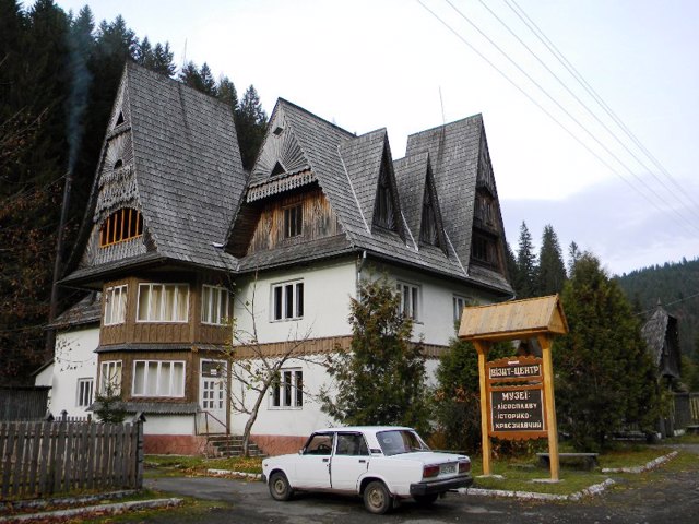
The Synevyr Historical and Local History Museum was established at the ecological visit center of the Synevyr National Nature Park.
The exposition presents the life and way of life of Carpathian mountaineers: tools, utensils, clothes, shoes, etc.
A special place is occupied by the exposition of the Museum of forest and rafting, destroyed in 1998 by floods. Here you can get acquainted with the models of buildings and units of mountain dams, with the technology of timber rafting, tools of loggers.
The exhibition hall introduces rare local "Red book" flora and fauna.
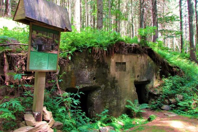
Arpad Line Bunkers
Castle / fortress
Several long-term firing points of the Arpad Line - a system of defensive structures built by the Hungarians to protect against the advancing units of the Soviet Army in 1943-1944, shortly before the end of World War II.
Most of these buildings were not used in the battles due to the fact that the Soviet troops bypassed them. The section preserved near Synevyr was called the Line of Saint Ishtvan. Bunkers are not connected to each other, each one is like a separate room, but you can look into and enter some of them.
The multi-story command post of the Synevyr District is located on a slope near the Tereblya River. The premises of the hospital, the artillery caponir, and the communication corridors have been preserved.
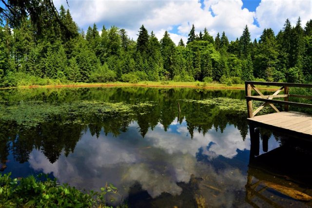
Lake Ozirtse (Wild Lake)
Natural object
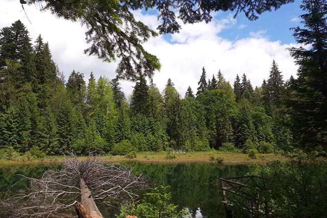
The small mountain lake Ozirtse is also called Wild, and sometimes - the "younger brother of Synevyr". It has long attracted tourists with its pristine beauty and mystery.
Its area is 1.2 hectares, the depth is 10 meters. It is located surrounded by a coniferous forest at an altitude of about 1000 meters on the northern slope of the Pishkonya ridge.
According to legend, at the site of the lake, the khan of the Wild Horde buried the gold looted during the military campaign for the Carpathians.
The lake is considered unique due to the fact that its waterlogging comes not only from the periphery to the center, but also vice versa - from the center, where there is a so-called "melt" of red-brown moss.
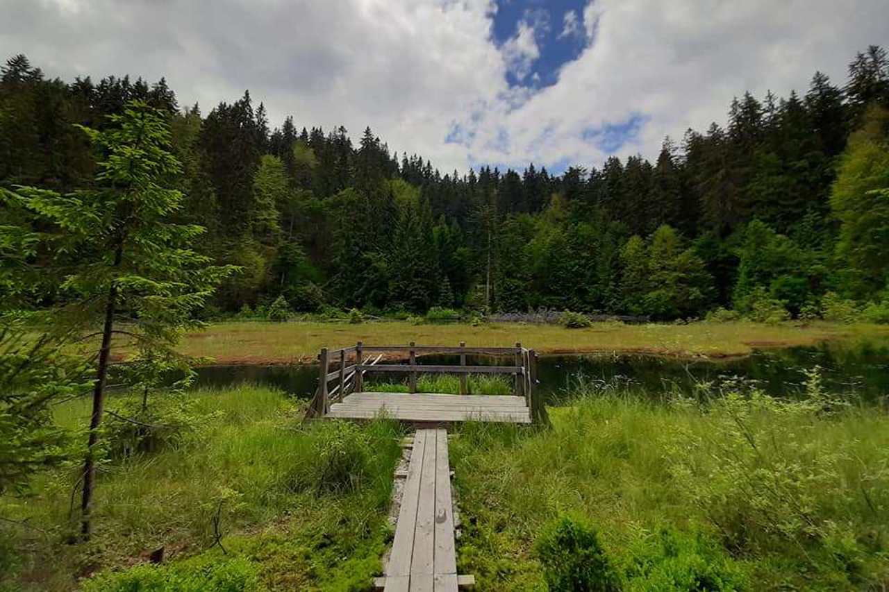
Christmas trees, sycamores and beeches grow on the shore. There is a wooden deck along the shore, which you can use to go around the perimeter of the lake. There are several huts that can be a shelter from bad weather.
Synevyr in news and blogs
Reviews Synevyr
Geographical information about Synevyr
| {{itemKey}} | {{itemValue}} |
|---|---|
| Region |
Zakarpattia |
