Functional temporarily unavailable
General information about Chop
The city of Chop is the westernmost city of Ukraine, a major transport hub, a transshipment point and a center for cargo customs clearance.
It was mentioned in 1281, named probably after the surname of the owner of the landowner Chapi.
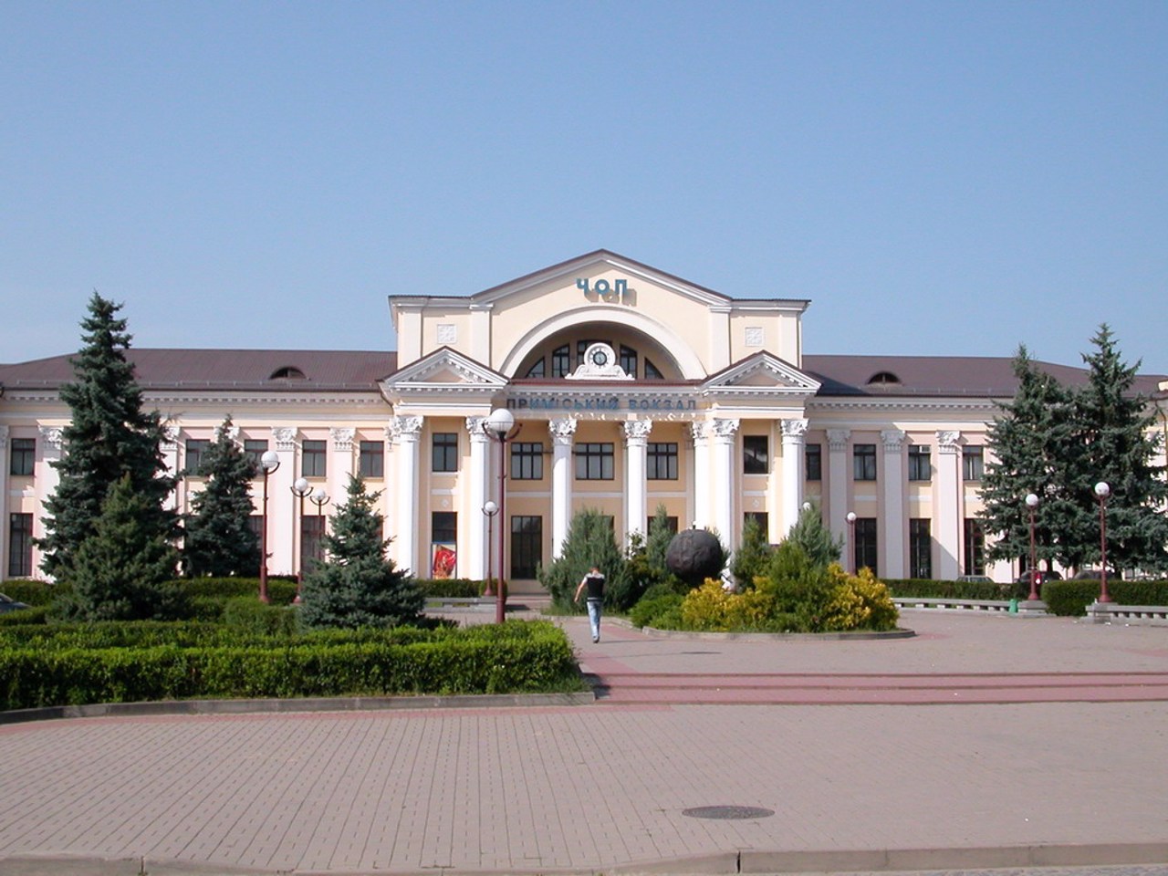
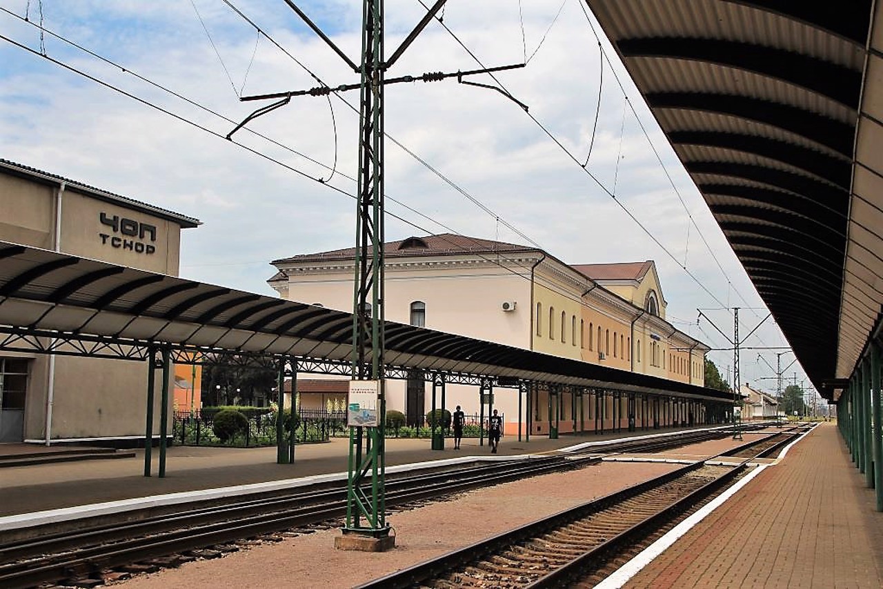
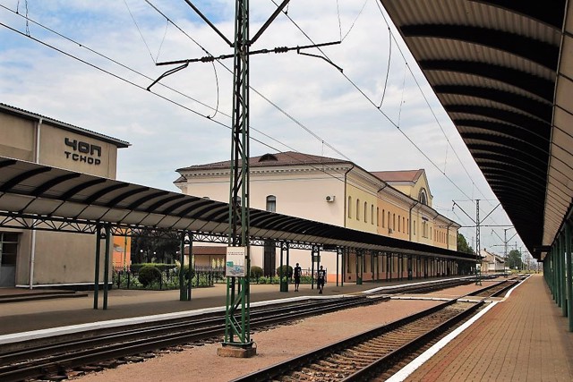
The development is connected with the construction in the 19th century of the Debrecen-Mukachevo railway with a junction station in Chopa.
The church of Saint Anna (1903) has been preserved.
In March 1919, the Hungarian revolutionary directorate of the Uzhansky Committee was located in the city, since Uzhhorod was captured by the troops of Czechoslovakia. In 1945, Chop became part of Ukraine.
Here is located the main Ukrainian-Hungarian border crossing Chop-Zachony, well-developed road service: gas stations, service stations, ...
The city of Chop is the westernmost city of Ukraine, a major transport hub, a transshipment point and a center for cargo customs clearance.
It was mentioned in 1281, named probably after the surname of the owner of the landowner Chapi.
The development is connected with the construction in the 19th century of the Debrecen-Mukachevo railway with a junction station in Chopa.
The church of Saint Anna (1903) has been preserved.
In March 1919, the Hungarian revolutionary directorate of the Uzhansky Committee was located in the city, since Uzhhorod was captured by the troops of Czechoslovakia. In 1945, Chop became part of Ukraine.
Here is located the main Ukrainian-Hungarian border crossing Chop-Zachony, well-developed road service: gas stations, service stations, car washes, cafes, restaurants, shops, insurance company offices. There are convenient places for camping on the banks of the Tysa and Latoritsa rivers.
Місто Чоп - найзахідніше місто України, великий транспортний вузол, перевалочний пункт і центр митного оформлення вантажів.
Згадується в 1281 році, назване, ймовірно, за прізвищем власника поміщика Чапі.
Розвиток пов'язаний з будівництвом у XIX столітті залізниці Дебрецен-Мукачево з вузловою станцією в Чопі.
Зберігся костел Святої Анни (1903 рік).
У березні 1919 році в місті перебував угорський революційний діректоріум Ужанського комітату, оскільки Ужгород був захоплений військами Чехословаччини. В 1945 році Чоп увійшов до складу України.
Тут розташований основний українсько-угорський прикордонний перехід Чоп-Захоні, добре розвинений дорожній сервіс: автозаправки, СТО, автомийки, кафе, ресторани, магазини, представництва страхових компаній. На берегах р ...
Місто Чоп - найзахідніше місто України, великий транспортний вузол, перевалочний пункт і центр митного оформлення вантажів.
Згадується в 1281 році, назване, ймовірно, за прізвищем власника поміщика Чапі.
Розвиток пов'язаний з будівництвом у XIX столітті залізниці Дебрецен-Мукачево з вузловою станцією в Чопі.
Зберігся костел Святої Анни (1903 рік).
У березні 1919 році в місті перебував угорський революційний діректоріум Ужанського комітату, оскільки Ужгород був захоплений військами Чехословаччини. В 1945 році Чоп увійшов до складу України.
Тут розташований основний українсько-угорський прикордонний перехід Чоп-Захоні, добре розвинений дорожній сервіс: автозаправки, СТО, автомийки, кафе, ресторани, магазини, представництва страхових компаній. На берегах річок Тиса та Латориця зручні місця для кемпінгів.
Сплануй своє перебування у Chop
What to see and where to go in Chop
Reviews Chop
Geographical information about Chop
| {{itemKey}} | {{itemValue}} |
|---|---|
| Region |
Zakarpattia |
