Functional temporarily unavailable
Information on this page is translated from Ukrainian language automatically by machine translation and may not always accurately express the original. We nevertheless hope it will be of use to you and make it easier for you to plan your trip.
General information about Luhy
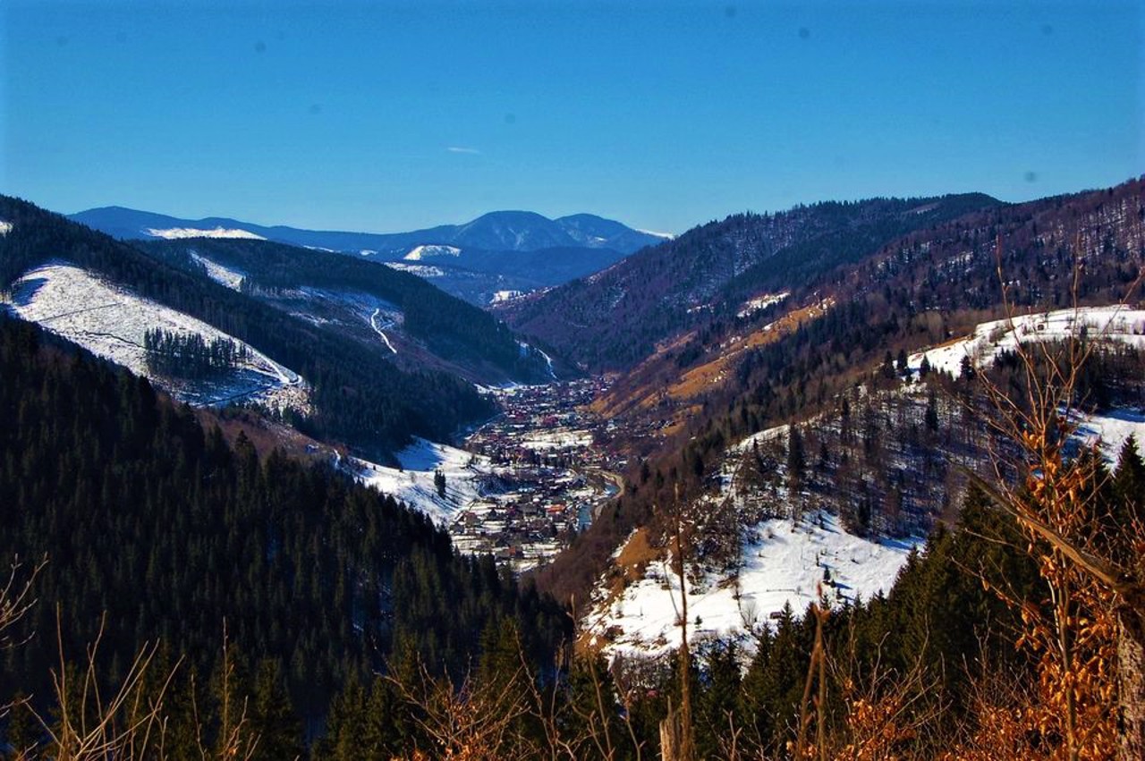
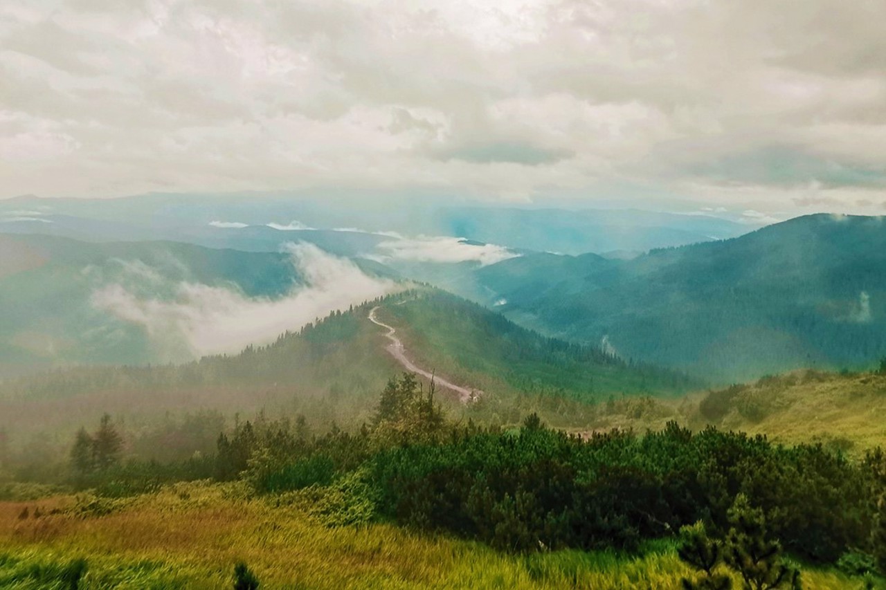
The remote mountain village of Luhy is located on the Bila Tisza River, not far from Mount Hoverla. It is located at an altitude of 970 meters above sea level.
Landmark - Holy Ascension Church.
Віддалене гірське село Луги розташоване на річці Біла Тиса, неподалік від гори Говерла. Знаходиться на висоті 970 метрів над рівнем моря.
Пам'ятка - Свято-Вознесенська церква.
Сплануй своє перебування у Luhy
What to see and where to go in Luhy
Luhy on photo and video
Reviews Luhy
Geographical information about Luhy
| {{itemKey}} | {{itemValue}} |
|---|---|
| Region |
Zakarpattia |


