Functional temporarily unavailable
General information about Bohdan
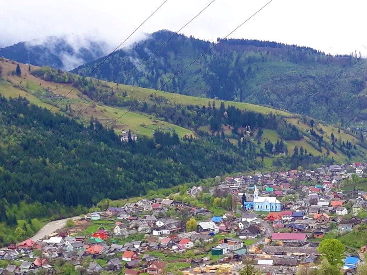
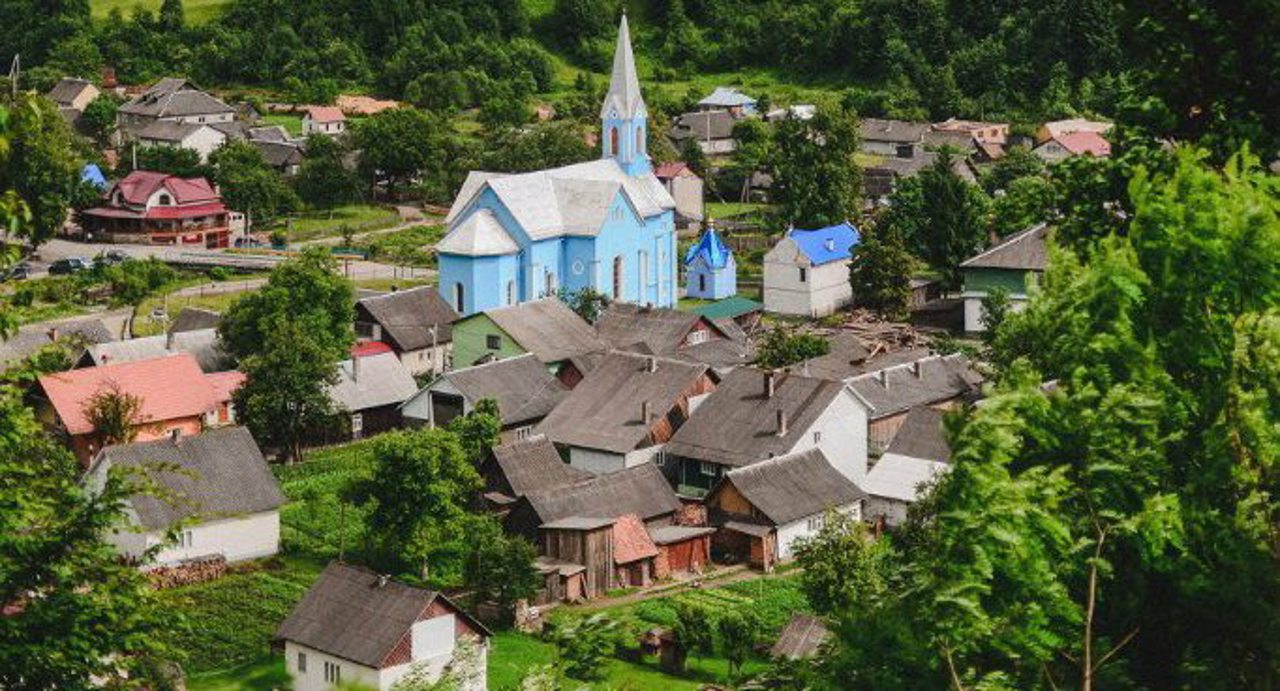
The relatively young village of Bohdan is located on the banks of the White Tisza River, in the area of the Chornohora massif of the Carpathian Reserve.
Known since the first half of the 18th century. At that time, residents of neighboring villages moved to the village. And from 1770 to 1777, a village settlement was formed. The name of the village was first mentioned in written sources in 1803.
One of the routes to Hoverla and Mount Petros starts from here. Popular excursions to the picturesque sources of the White Tysa River.
Developed green tourism.
Відносно молоде село Богдан розташоване на берегах річки Біла Тиса, в районі Чорногірського масиву Карпатського заповідника.
Відоме з першої половини XVIII століття. У той час сюди переселилося багато жителів сусідніх сіл. А з 1770 по 1777 рік відбулось формування поселення на село. Назва Богдан була вперше згадана в письмових джерелах в 1803 році.
Звідси починається один з маршрутав на Говерлу та гору Петрос. Популярні екскурсії до мальовничих витоків річки Біла Тиса.
Розвинений зелений туризм.
Сплануй своє перебування у Bohdan
What to see and where to go in Bohdan
Reviews Bohdan
Geographical information about Bohdan
| {{itemKey}} | {{itemValue}} |
|---|---|
| Region |
Zakarpattia |


