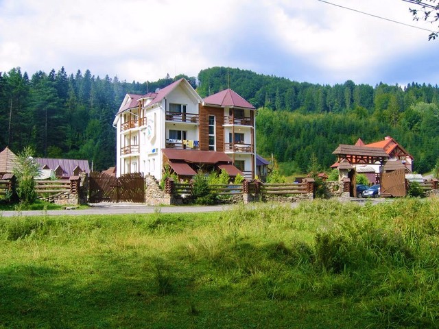
Functional temporarily unavailable
Zhdeniievo
Travel guide online Zhdeniievo
General information about Zhdeniievo
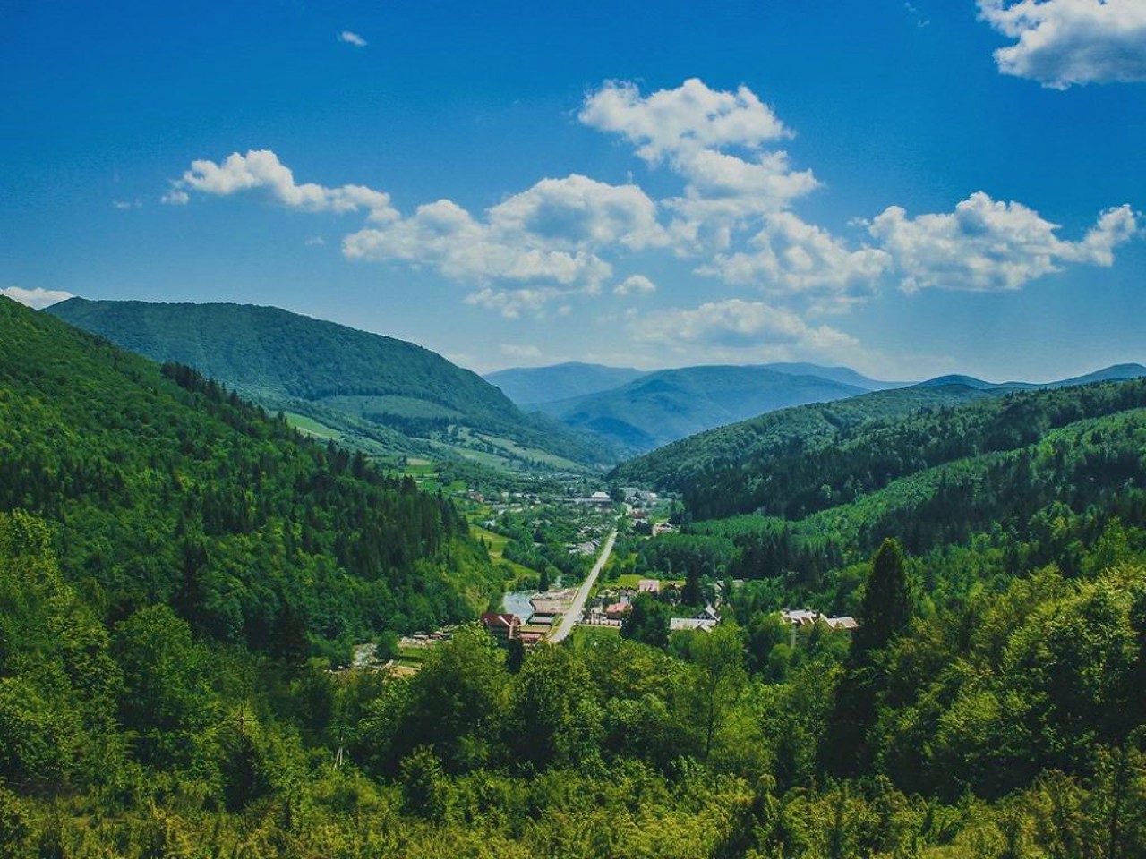
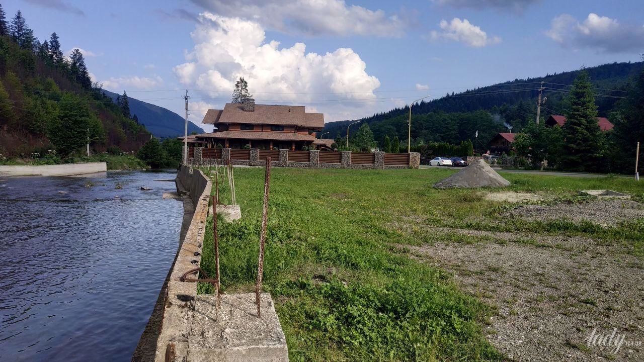
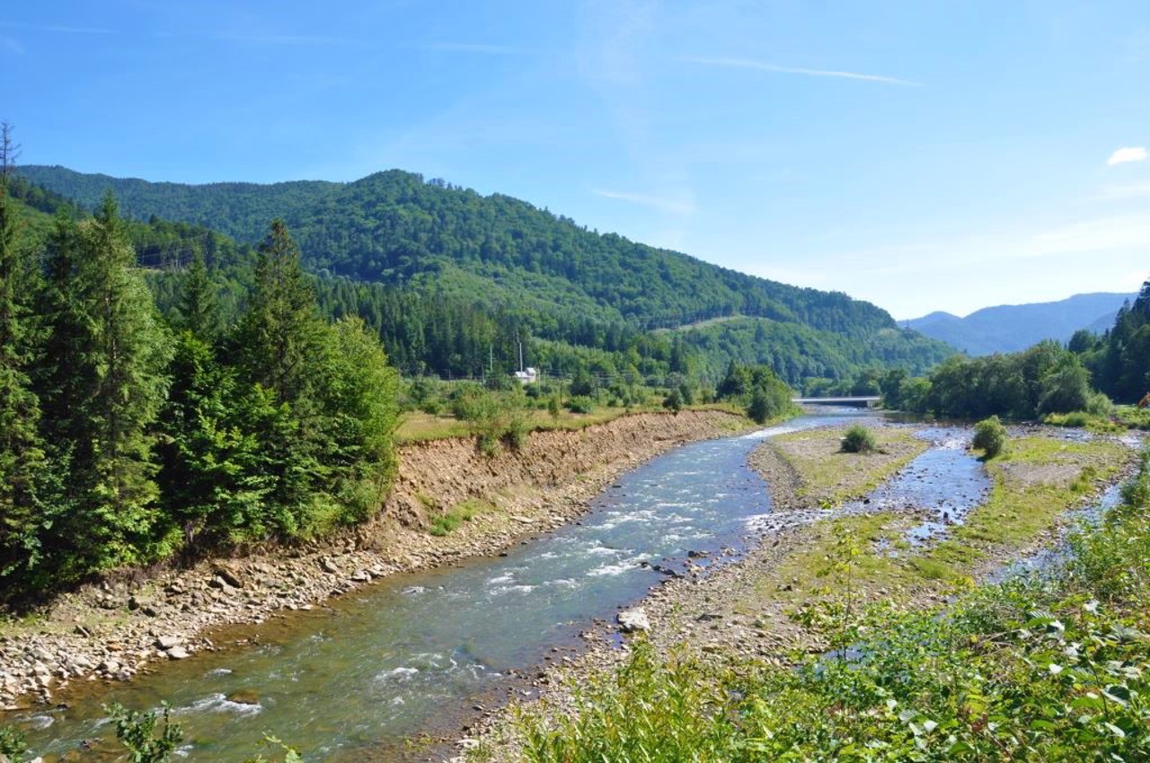
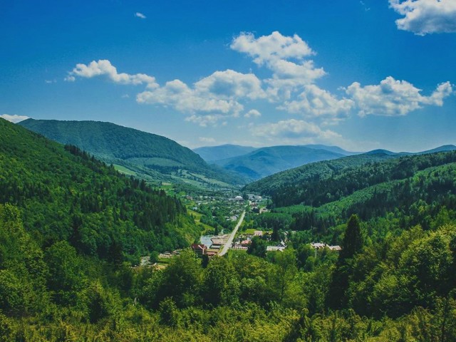
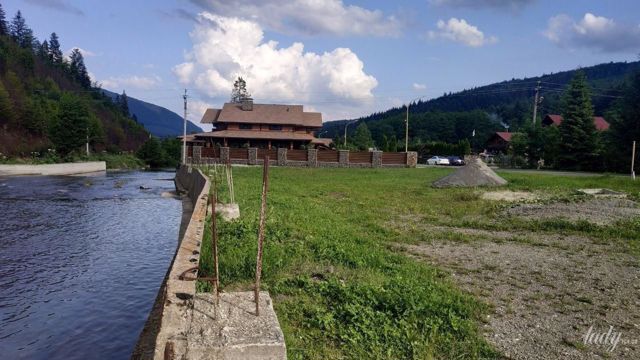
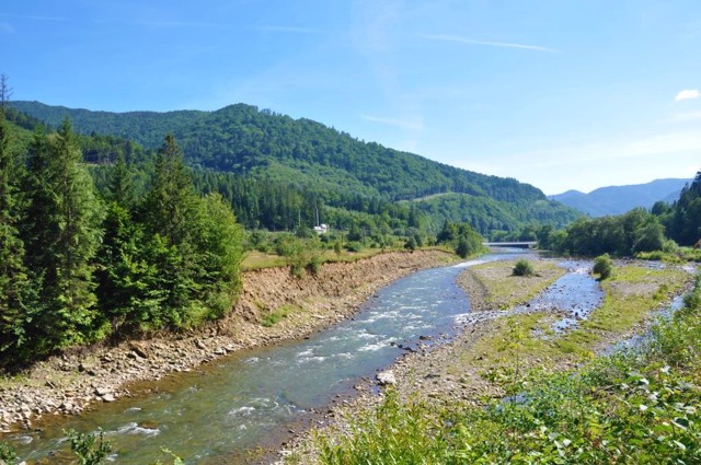
The settlement Zhdeniievo is located on the bank of the mountain river Zhdeniievka in the western part of the Ukrainian Carpathians (542 meters above sea level) next to the Kyiv-Chop highway.
It was founded in the 17th century by runaway peasants from Galicia. It is known as a small ski resort at the foot of the main Beskydy ridge with its highest point - Mount Pikuy (1408 meters above sea level).
There is a lift and a ski track 800 meters long.
Nearby, on the mountain Vysoky Kamin, a fauna and flora reserve has been created, on the territory of which there are relict oak trees and rare pines, the age of which is more than 130 years.
Селище Жденієво розташоване на березі гірської річки Жденієвка в західній частині українських Карпат (542 метрів над рівнем моря) поруч з трасою Київ-Чоп.
Засноване в XVII столітті селянами-втікачами з Галичини. Відоме як невеликий гірськолижний курорт біля підніжжя головного Бескидського хребта з його найвищою точкою - горою Пікуй (1408 метрів над рівнем моря).
Є підйомник і гірськолижна траса довжиною 800 метрів.
Поруч на горі Високий Камінь створений Фауна-флористичний заповідник, на території якого росте реліктовий дубняк і рідкісні сосни, вік яких понад 130 років.
Сплануй своє перебування у Zhdeniievo
What to see and where to go in Zhdeniievo
Tourist attractions and museums of Zhdeniievo
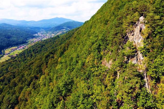
Vysoky Kamin Mountain
Natural object
Vysoky Kamin mountain rises above the villages of Zhdeniievo and Pidpolozzia near the confluence of the mountain rivers Zhdeniivka and Latoritsa.
The height of the mountain is 836 meters above sea level. During the walk, you can see the nature of Transcarpathia in all its diversity. You can admire the wonderful views of the mountains, inhale the unforgettable aroma of spruce trees, and hear the sound of the leaves of beech trees.
The length of the route to the Vysoky Kamin mountain is 2 kilometers on a steep slope.
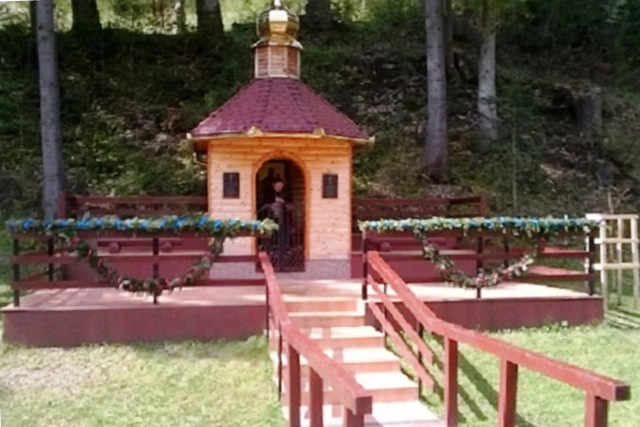
Holy Virgin Spring
Natural object , Temple
The spring of mineral water is located at the exit from the village of Zhdeniievo in the direction of the village of Zbyny, on the left of the road.
It was solemnly opened and consecrated in May 2014. A chapel was built around the spring in honor of the Praise of the Most Holy Virgin.

Saint Nicholas Church
Temple , Architecture
The Orthodox Church of Saint Nicholas in the village of Zhdeniievo was founded in 1904 on the site of an old wooden church known since 1733.
The construction was carried out by Italian masters at the expense of the parishioners and was completed in 1918. There is an icon with the relics of Yov Uholsky in the Saint Nicholas Church.
Reviews Zhdeniievo
Geographical information about Zhdeniievo
| {{itemKey}} | {{itemValue}} |
|---|---|
| Region |
Zakarpattia |
