Functional temporarily unavailable
General information about Berezanka
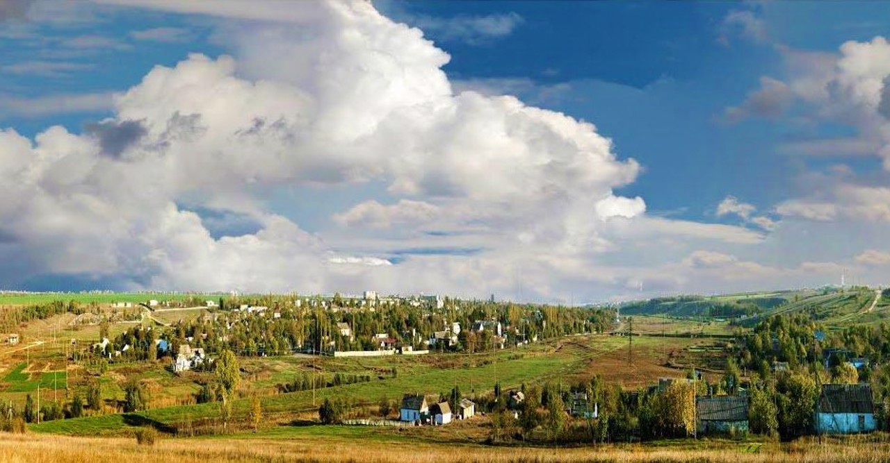
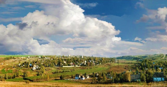
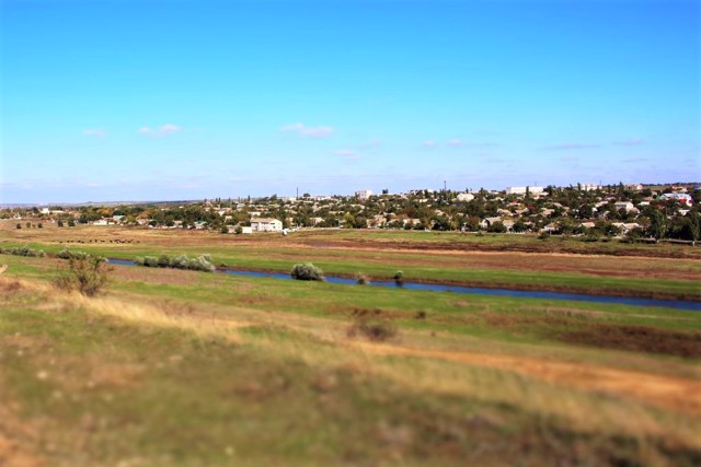
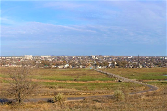
Berezanka is a town 50 kilometers from Mykolaiv in the direction of Odesa. Located on the Sosyk River next to the Berezany estuary, not far from the Tylihul estuary.
It was first mentioned in 1876 as the Oleksanderfeld settlement, founded by German colonists on the lands of landowner Oleksandr Arnoldi. The wheat they grew was successfully sold on the markets of Mykolaiv and Odesa. At the end of the 19th century, a steam mill, an oil press, leather, shoemaker and blacksmith workshops were operating in the village.
With the beginning of the First World War, the German name of the village of Alexanderfeld was changed to Suvorov (during ...
Berezanka is a town 50 kilometers from Mykolaiv in the direction of Odesa. Located on the Sosyk River next to the Berezany estuary, not far from the Tylihul estuary.
It was first mentioned in 1876 as the Oleksanderfeld settlement, founded by German colonists on the lands of landowner Oleksandr Arnoldi. The wheat they grew was successfully sold on the markets of Mykolaiv and Odesa. At the end of the 19th century, a steam mill, an oil press, leather, shoemaker and blacksmith workshops were operating in the village.
With the beginning of the First World War, the German name of the village of Alexanderfeld was changed to Suvorov (during the Russo-Turkish war of 1787-1791, the Russian commander Oleksandr Suvorov stayed here for several days with the vanguard units of the Russian army). Since 1923, the name Tylihulo-Berezanka has been fixed for the village, then simply Berezanka.
The administration of the Tylihul Regional Landscape Park is located in the village.
Березанка - селище в 50 кілометрах від Миколаєва в бік Одеси. Розташоване на річці Сосик поруч з Березанським лиманом, неподалік від Тилігульського лиману.
Вперше згадується в 1876 році як поселення Александерфельд, засноване німецькими колоністами на землях поміщика Олександра Арнольді. Пшениця, яку вони вирощували, успішно продавалася на ринках Миколаєва та Одеси. В кінці XIX століття в селі діяли паровий млин, олійниця, шкіряні, шевські та ковальські майстерні.
З початком Першої світової війни німецьку назву села Александерфельд замінили на Суворове (під час російсько-турецької війни 1787-1791 років з авангардними частинами російської армії тут кілька днів перебував російський полководець Олександра С ...
Березанка - селище в 50 кілометрах від Миколаєва в бік Одеси. Розташоване на річці Сосик поруч з Березанським лиманом, неподалік від Тилігульського лиману.
Вперше згадується в 1876 році як поселення Александерфельд, засноване німецькими колоністами на землях поміщика Олександра Арнольді. Пшениця, яку вони вирощували, успішно продавалася на ринках Миколаєва та Одеси. В кінці XIX століття в селі діяли паровий млин, олійниця, шкіряні, шевські та ковальські майстерні.
З початком Першої світової війни німецьку назву села Александерфельд замінили на Суворове (під час російсько-турецької війни 1787-1791 років з авангардними частинами російської армії тут кілька днів перебував російський полководець Олександра Суворов.). З 1923 року за селищем закріпилася назва Тилігуло-Березанка, потім просто Березанка.
У селищі знаходиться адміністрація Регіонального ландшафтного парку "Тилігульський".
Сплануй своє перебування у Berezanka
What to see and where to go in Berezanka
Tourist attractions and museums of Berezanka
"Tylihulskyi" Regional Landscape Park
Reserve
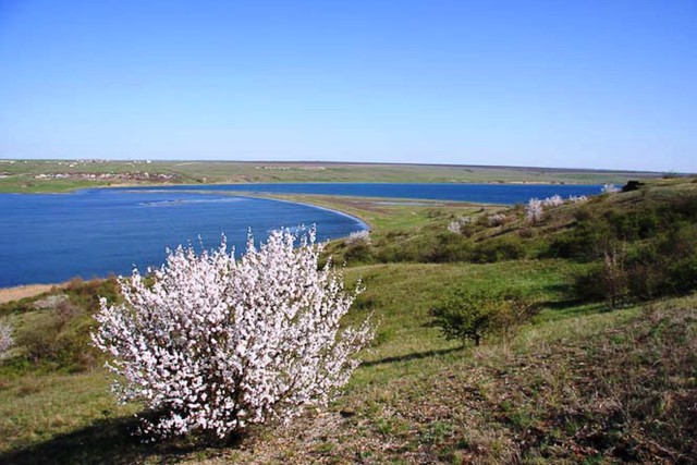
Regional landscape park "Tylihulskyi" is located on the eastern coast of Tylihulskyi estuary.
It was created in 1995 with the aim of preserving valuable natural complexes and historical and cultural objects of Tylihul, creating conditions for organized tourism and recreation, conducting scientific research, and promoting ecological knowledge.
The Tylihul estuary is considered the cleanest on the Northwest Black Sea coast. In the area of the Tashin Bay and the mouth of the Tsarega River, there is one of the largest virgin steppe massifs in the south of Ukraine. 350 species of plants and 384 species of vertebrates. From the species of birds listed in the Red Book of Ukraine, the following can be found here: cormorant, stilt, sea plover, magpie wader, sandpiper, red heron, yellow heron and others. The estuary has large reserves of healing hydrogen sulfide mud.
There is practically no tourist infrastructure in the protected area, even in the high season the number of tourists is small.
The administration of the Tylihulskyi landscape park is located in the village of Berezanka, 20 kilometers east of the Tylihul estuary.
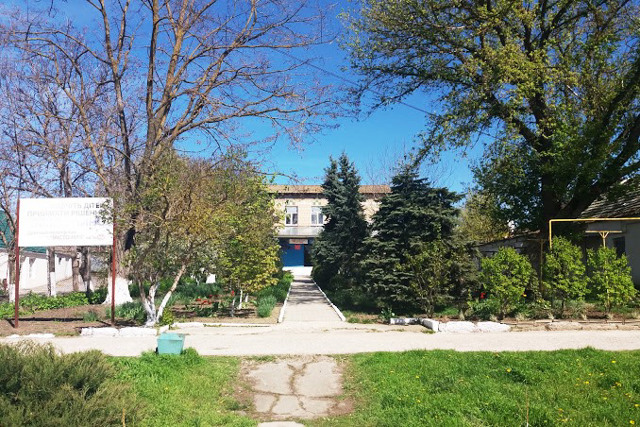
Berezanka Historical Museum
Museum / gallery
The municipal institution "Berezanka People's Historical Museum" of the Berezanka Village Council was established in 1989 as a local history museum. At the time of its opening, it had about 400 exhibits.
The museum's exposition is presented in three halls. Today, the funds have 1260 exhibits.
Reviews Berezanka
Geographical information about Berezanka
| {{itemKey}} | {{itemValue}} |
|---|---|
| Region |
Mykolaiv |
