Functional temporarily unavailable
General information about Maiaky
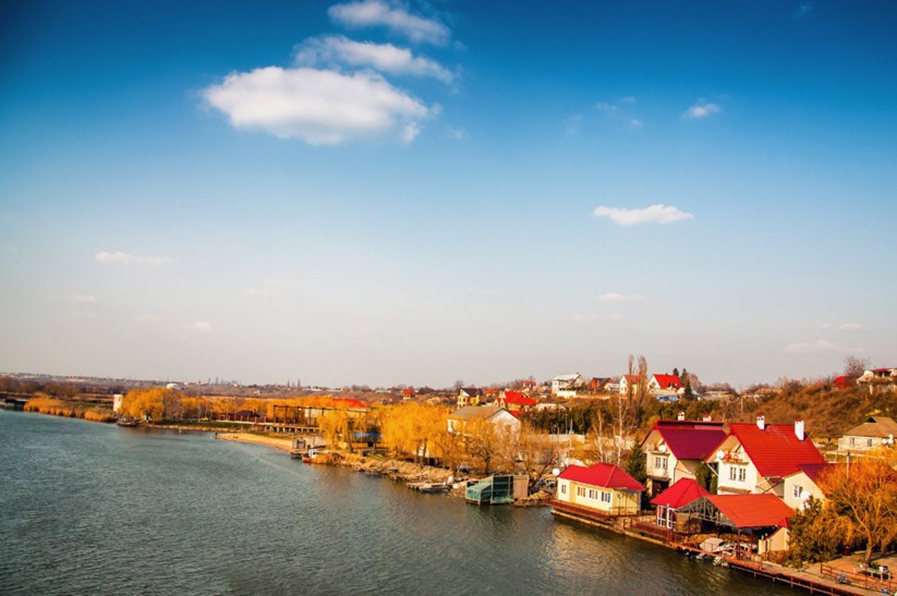
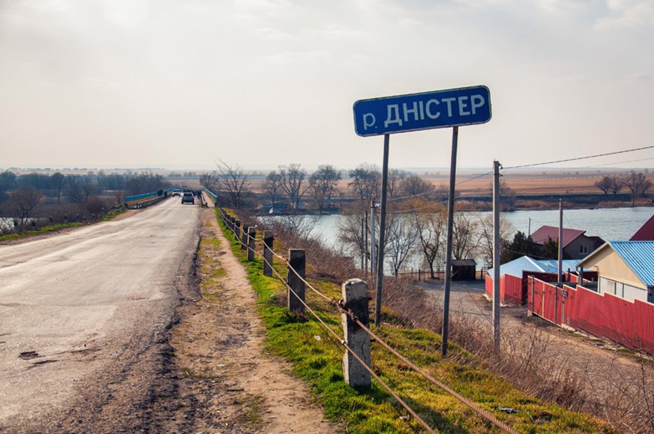
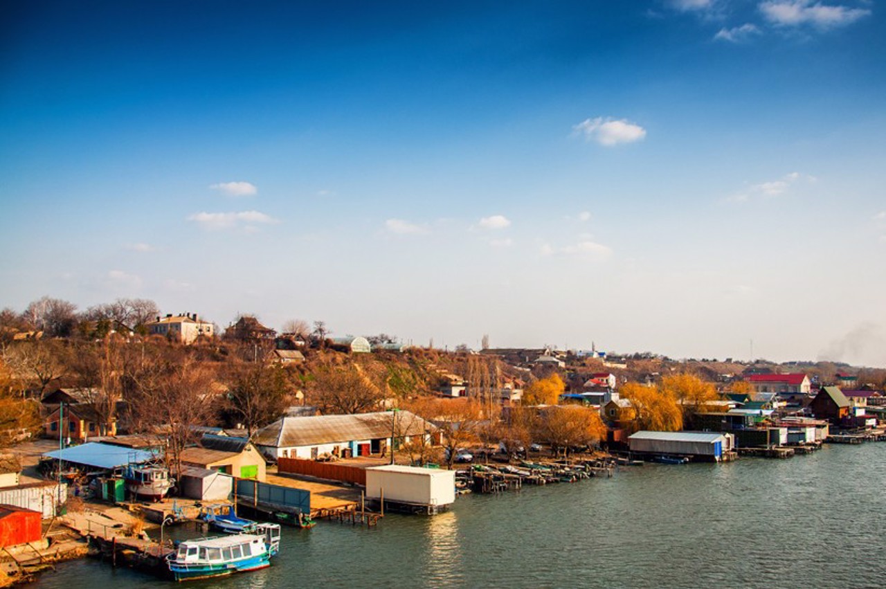
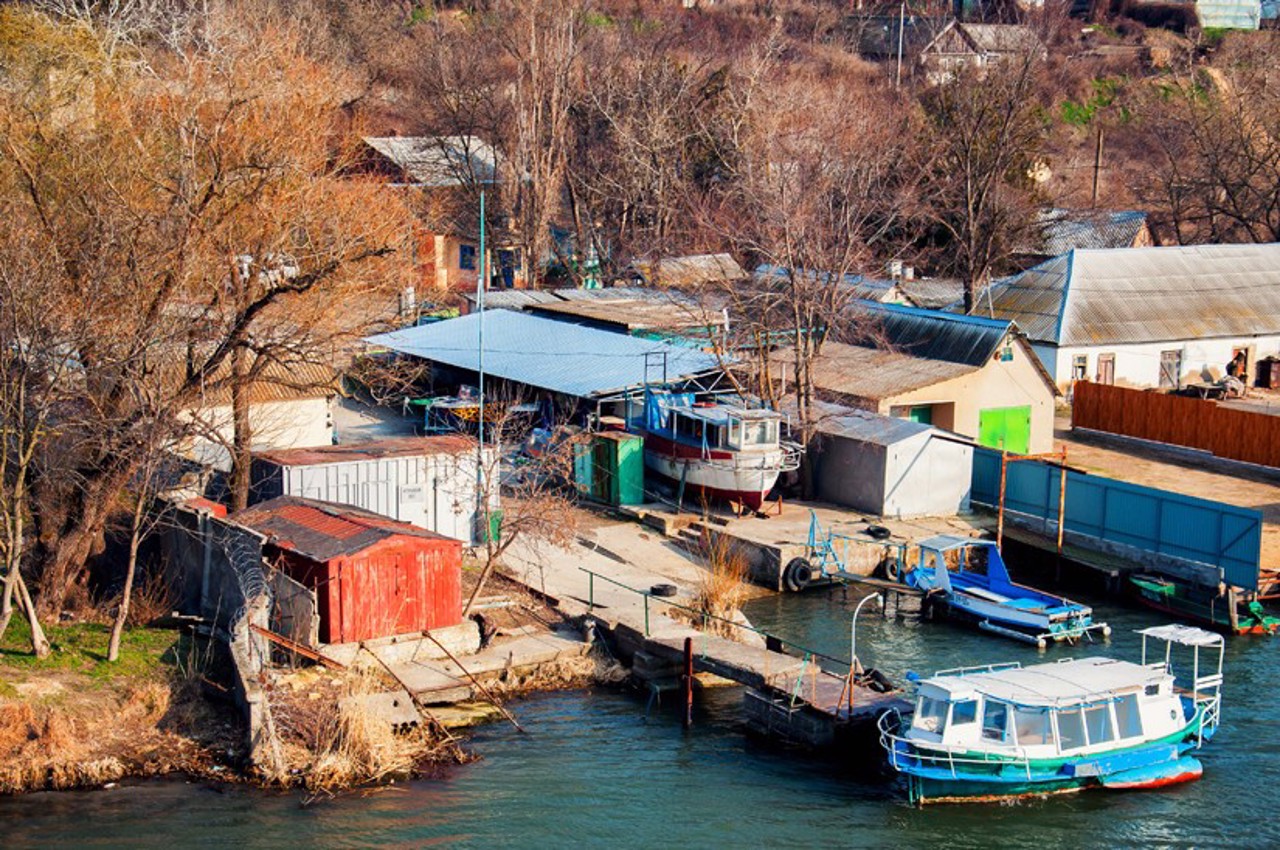
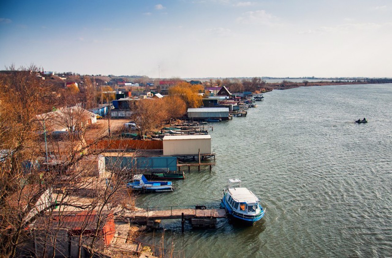
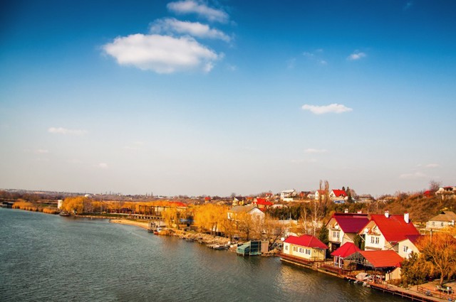
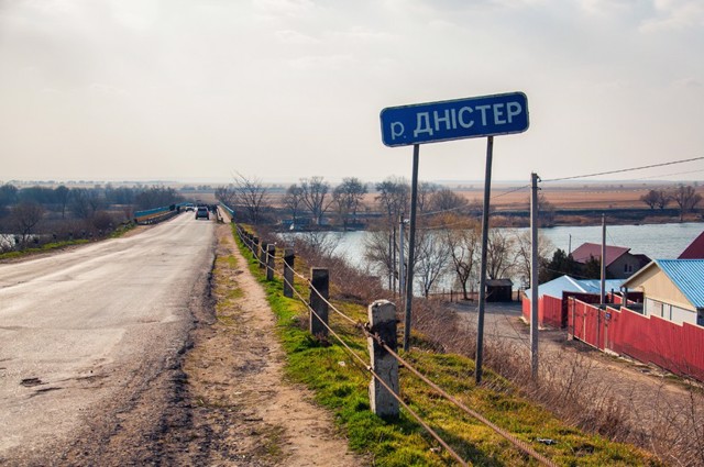
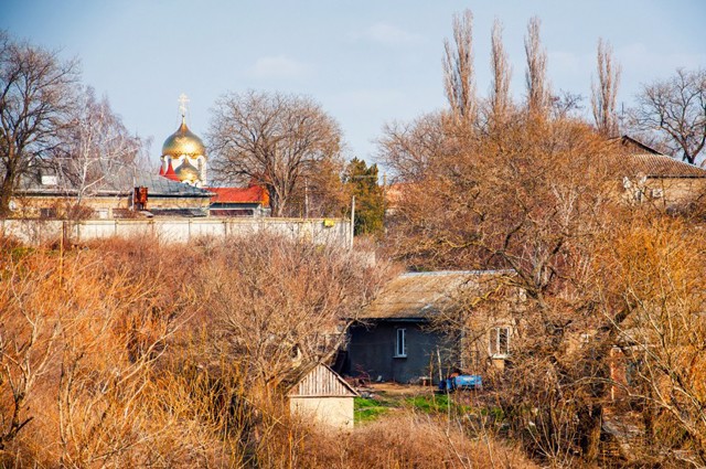
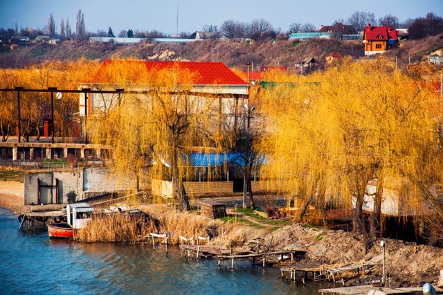
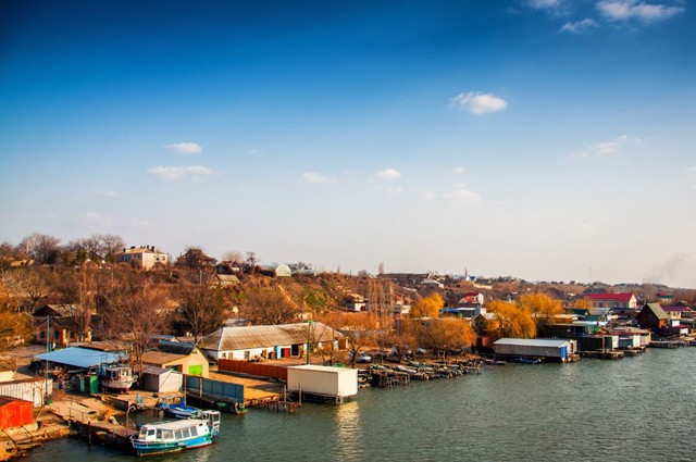
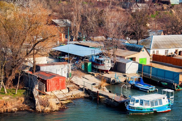
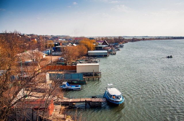
The village of Maiaky is located on the bank of the Dniester at its confluence with the Dniester estuary. The international highway M-15 (E-85) "Odesa - Reni" passes through the village.
The settlement has been known since 1421 as the Lithuanian fortress Maiak-Karavul near the Dniester crossing on the trade route to Akkerman from the east. In the 16th century, the fortress was destroyed by the Turks.
After the transition of the Black Sea region under the rule of the Russian Empire in the middle of the 19th century, a pier was built near the village, a ferry crossing was established, a quarantine post and a customs office were opened. There was an active timber trade. The population of Maiaky grew rapidly, and already in 1862 they received the status of an independe ...
The village of Maiaky is located on the bank of the Dniester at its confluence with the Dniester estuary. The international highway M-15 (E-85) "Odesa - Reni" passes through the village.
The settlement has been known since 1421 as the Lithuanian fortress Maiak-Karavul near the Dniester crossing on the trade route to Akkerman from the east. In the 16th century, the fortress was destroyed by the Turks.
After the transition of the Black Sea region under the rule of the Russian Empire in the middle of the 19th century, a pier was built near the village, a ferry crossing was established, a quarantine post and a customs office were opened. There was an active timber trade. The population of Maiaky grew rapidly, and already in 1862 they received the status of an independent town of Odesa District, Kherson Province.
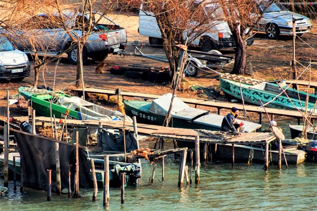
Now it is a busy transit settlement. Fish, seasonal vegetables and fruits are sold at the roadside bazaar next to the bridge.
The border control point of the transit section of the M-15 highway "Maiaky - Udobne" and the Ukrainian-Moldovan border crossing point "Palanka" are located nearby.
Село Маяки розташоване на березі Дністра при впадінні його в Дністровський лиман. Через село проходить міжнародна траса М-15 (Е-85) "Одеса - Рені".
Поселення відоме з 1421 року як литовська фортеця Маяк-Каравул біля переправи через Дністер на торговому шляху в Аккерман зі сходу. В XVI сторіччі фортецю зруйнували турки.
Після переходу Причорномор'я під владу російської імперії в середині XIX століття поблизу села була збудовано пристань, налагоджено поромну переправу, відкрито карантинний пост і митницю. Велася активна торгівля лісом. Населення Маяків швидко збільшувалося, і вже в 1862 році вони отримали статус заштатного містечка Одеського повіту Херсонської губернії.
Зараз це жвавий транзитний населений пункт. На придорожньому базарі поруч з мостом торгу ...
Село Маяки розташоване на березі Дністра при впадінні його в Дністровський лиман. Через село проходить міжнародна траса М-15 (Е-85) "Одеса - Рені".
Поселення відоме з 1421 року як литовська фортеця Маяк-Каравул біля переправи через Дністер на торговому шляху в Аккерман зі сходу. В XVI сторіччі фортецю зруйнували турки.
Після переходу Причорномор'я під владу російської імперії в середині XIX століття поблизу села була збудовано пристань, налагоджено поромну переправу, відкрито карантинний пост і митницю. Велася активна торгівля лісом. Населення Маяків швидко збільшувалося, і вже в 1862 році вони отримали статус заштатного містечка Одеського повіту Херсонської губернії.
Зараз це жвавий транзитний населений пункт. На придорожньому базарі поруч з мостом торгують рибою, сезонними овочами та фруктами.
Поруч розташований пункт прикордонного контролю транзитного ділянки автодороги М-15 "Маяки - Удобне" і українсько-молдавський прикордонний пункт пропуску "Паланка".
Сплануй своє перебування у Maiaky
What to see and where to go in Maiaky
Reviews Maiaky
Geographical information about Maiaky
| {{itemKey}} | {{itemValue}} |
|---|---|
| Region |
Odesa |
