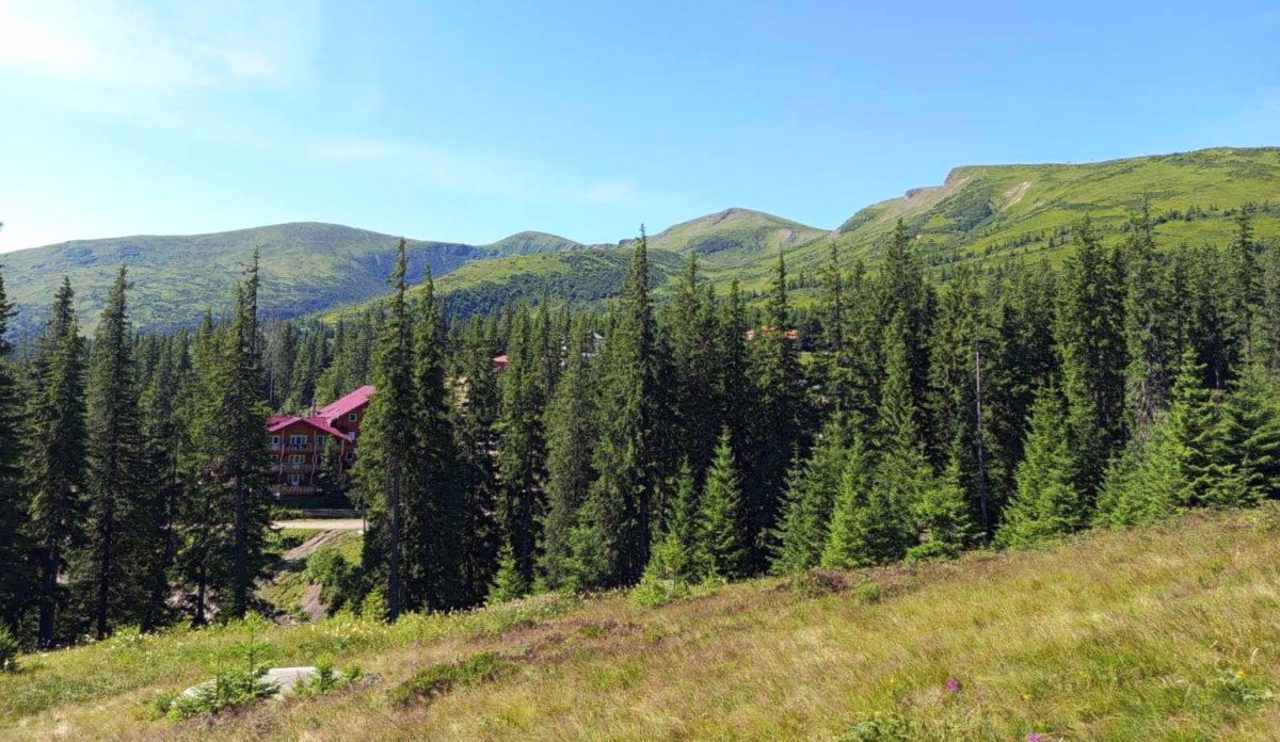
Mountain paths through Blyznytsia on Drahobrat and to Mount Petros are now marked with signs and colored labels, making these routes accessible to tourists of any level of training.
Two tourist and recreational routes within the Svydovets massif of the Carpathians have received new markings. Both are located on the territory of the Keveliv Nature Conservation Research Department, the administration of the Carpathian Biosphere Reserve reported on its official Facebook page.
"The goal is to ensure the safety of visitors and increase the convenience of orientation during trips," the message says.
Route No. 1 "From Keveliv to Svydovets":
- Checkpoint "Keveliv" - Mount Blyznytsia - Checkpoint "Drahobrat" - Drahobrat meadow - Svydovets stream - Checkpoint "Svydovets";
- length: 13.8 kilometers;
- type: partially radial and circular.
Route No. 2 "From Keveliv to Petros":
- Checkpoint "Keveliv" - biostationary center of Lviv National University - Petros mountain;
- length: 19.5 kilometers;
- type: radial.
Marking involves the installation of tourist signs and the application of colored markers that help to easily navigate even in adverse weather conditions, the reserve notes.
"For tourists, this means not only a safer path, but also the opportunity to focus more on the beauty of the Carpathian landscapes, the diversity of nature and the unique atmosphere of a mountain journey. Clearly marked trails make travel more accessible to a wide range of visitors - from experienced travelers to those who are going to the mountains for the first time," the administration emphasized.
The Carpathian Biosphere Reserve also reported that another recreation area with a gazebo and barbecue has been set up on the territory of the central estate.
Photo: facebook.com/profile.php?id=100064861563463
Два туристично-рекреаційні маршрути в межах Свидовецького масиву Карпат отримали нове маркування. Обидва вони розташовані на території Кевелівського природоохоронного науково-дослідного відділення, повідомила адміністрація Карпатського біосферного заповідника на офіційній сторінці у Facebook.
"Метою є забезпечення безпеки відвідувачів та підвищення зручності орієнтування під час мандрівок", – йдеться у повідомленні.
Маршрут №1 "Від Кевеліва до Свидовця":
- КПП "Кевелів" – гора Близниця – КПП "Драгобрат" – полонина Драгобрат – потік Свидовець – КПП "Свидовець";
- протяжність: 13,8 кілометра;
- тип: частково радіальний і круговий.
Маршрут №2 "З Кевеліва на Петрос":
- КПП "Кевелів" – біостаціонар Львівського національного університету – гора Петрос;
- протяжність: 19,5 кілометра;
- тип: радіальний.
Маркування передбачає встановлення туристичних вказівників та нанесення кольорових маркерів, які допомагають легко орієнтуватися навіть за несприятливих погодних умов, відзначають у заповіднику.
"Для туристів це означає не лише безпечніший шлях, але й можливість більше зосередитися на красі карпатських краєвидів, різноманітті природи та неповторній атмосфері гірської мандрівки. Чітко позначені стежки роблять подорожі доступнішими для широкого кола відвідувачів – від досвідчених мандрівників до тих, хто вперше вирушає у гори", – наголосили в адміністрації.
Також у Карпатському біосферному заповіднику повідомили, що на території центральної садиби облаштували ще один простір для відпочинку з альтанкою і мангалом.
Фото: facebook.com/profile.php?id=100064861563463


