Functional temporarily unavailable
Trufanets Waterfall, Yasinia
Natural object
General information about Trufanets Waterfall (Yasinia)
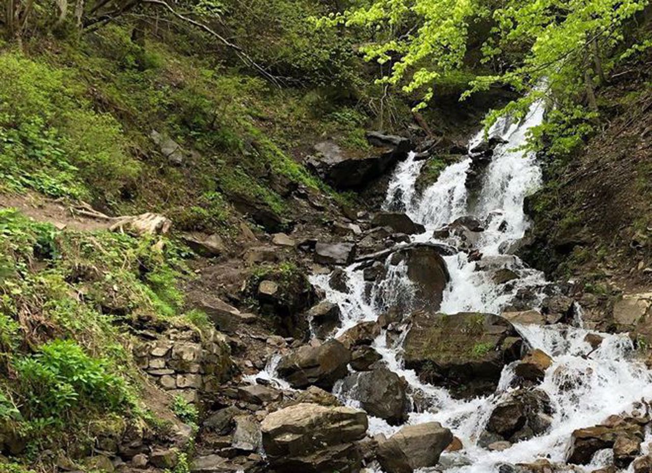
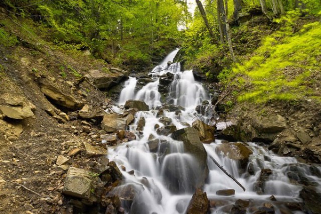
Trufanets waterfall - the highest natural waterfall in Transcarpathia - 36 meters.
Located near the Yasinia-Rakhiv highway, 2 kilometers from the turn to Drahobrat. It is located on the Trufanets stream - the right tributary of the Black Tysa River, on the southeastern slopes of the Svydovetsky Range.
Formed at the place of emergence to the surface of sandstones resistant to destruction. The stream originates in the subalpine belt at an altitude of 1,720 meters at the foot of Blyznytsia. The length of the stream is 2830 meters. In the forest belt, it partially (230 meters) flows underground.
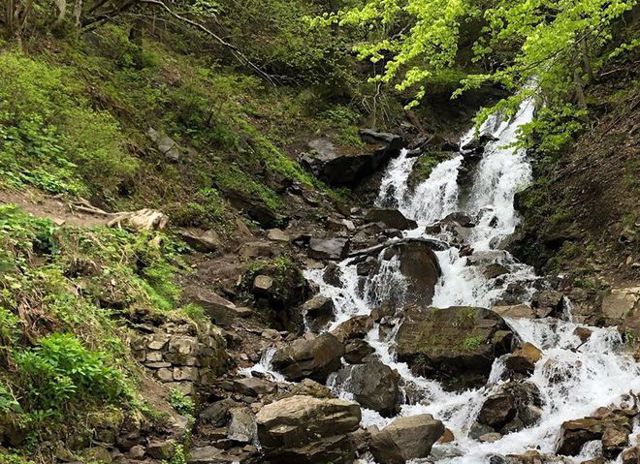
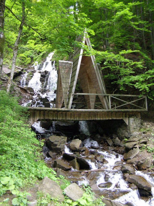
The Trufanets waterfall forms several cascades. This is one of the most picturesque cascading waterfalls in the Ukrainian Carpathians. Hydrological monument of nature.
Водоспад Труфанець - найвищий природний водоспад Закарпаття – 36 метрів.
Розташований біля траси Ясіня-Рахів, за 2 кілометри від повороту на Драгобрат. Знаходиться на струмку (потоці) Труфанець - правій притоці річки Чорна Тиса, на південно-східних схилах Свидовецького хребта.
Водоспад Труфанець утворений на місці виходу на поверхню стійких до руйнування пісковиків. Потік бере початок у субальпійському поясі на висоті 1720 метрів біля підніжжя Близниці. Довжина потоку – 2830 метрів. У лісовому поясі він частково (230 метрів) протікає під землею.
Водоспад Труфанець утворює кілька каскадів. Це один із наймальовничіших водоспадів каскадного типу в Українських Карпатах. Гідрологічна пам'ятка природи.
Practical information about Trufanets Waterfall (Yasinia)
Last update
3/25/2025
| Categories | Natural object |
|---|---|
| Address |
Yasinia |
| Coordinates |
48.21392° N, 24.30882° E
|
| Official site |
https://buvrtysa.gov.ua/newsit... |
| Additional services |
Аccessibility information
Have you visited Trufanets Waterfall in Yasinia?
Add practical or descriptive information, photos, links
What to see, where to go next?


