Functional temporarily unavailable
"Milk Stone" Cave, Velyka Uholka
Natural object
General information about "Milk Stone" Cave (Velyka Uholka)
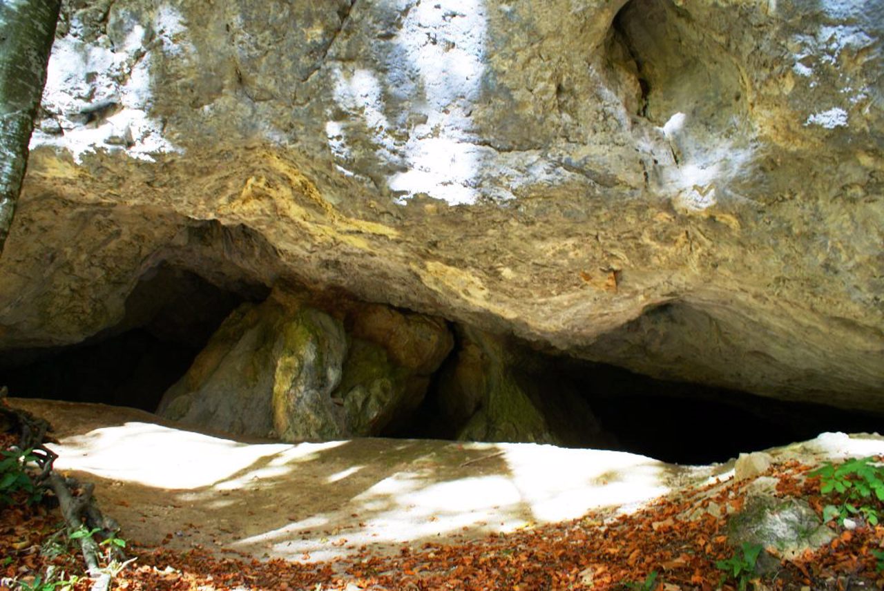
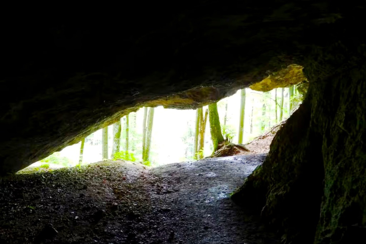
The "Milk Stone" karst cave in the limestone rock of the same name is located on the territory of the Uholka Forestry of the Carpathian Biosphere Reserve, 2 kilometers north of the village of Velyka Ugolka.
The 92-meter-long cave was formed as a result of erosion. The name is related to the color of the lime solution seeping from cracks in the rock. The cave is two-story, with two passages diverging from the entrance. The eastern passage leads to a spacious hall measuring 10 by 15 meters and up to 15 meters high.
Stalactites can be seen in the "Milk Stone" cave. A parking lot of ancient people was discovered here.
Карстова печера "Молочний Камінь" в однойменній вапняковій скелі розташована на території Угольського лісництва Карпатського біосферного заповідника, за 2 кілометри на північ від села Велика Уголька.
Печера завдовжки 92 метри утворилася внаслідок ерозії. Назва пов'язана з кольором вапняного розчину, що просочується з тріщин у скелі. Печера двоярусна, з двома ходами, що розходяться від входу. Східний хід веде до просторої зали розміром 10 на 15 метрів та висотою до 15 метрів.
У печері "Молочний Камінь" можна побачити сталактити. Тут було виявлено стоянку давніх людей.
Practical information about "Milk Stone" Cave (Velyka Uholka)
Last update
7/14/2025
| Categories | Natural object |
|---|---|
| Address |
Molochny Kamin tract
Velyka Uholka |
| Coordinates |
48.25643° N, 23.6773° E
|
| Official site |
https://kbz.in.ua/location/pec... |
| Additional services |
Аccessibility information
Have you visited "Milk Stone" Cave in Velyka Uholka?
Add practical or descriptive information, photos, links
"Milk Stone" Cave (Velyka Uholka) in photos and videos
What to see, where to go next?


