Functional temporarily unavailable
Bakota Tract, Horaivka
Historic area
Natural object
Visitor center
General information about Bakota Tract (Horaivka)
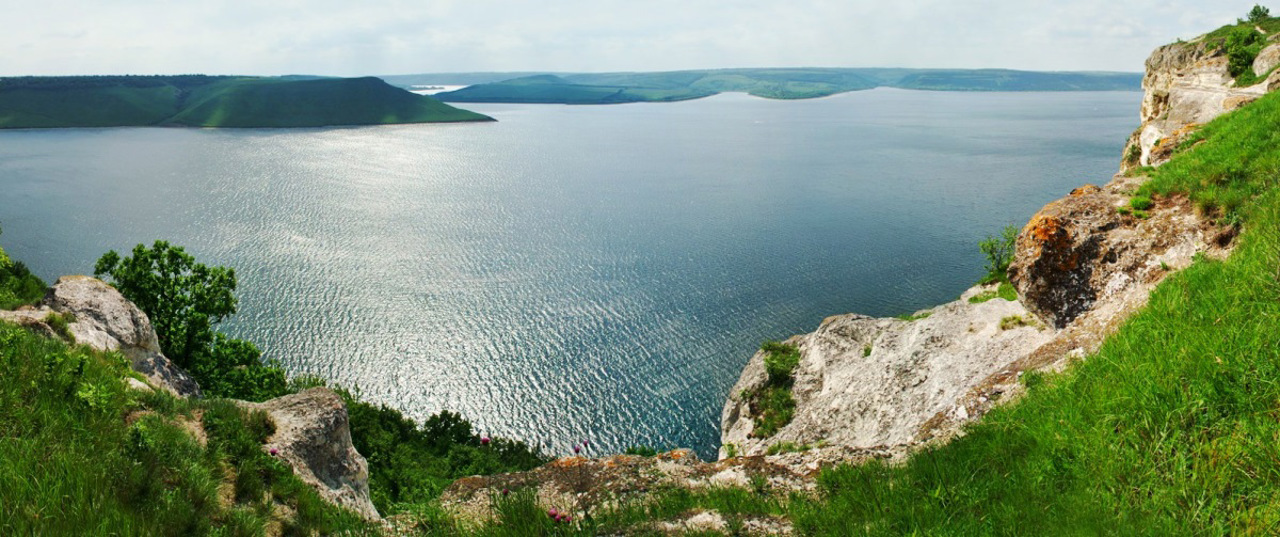
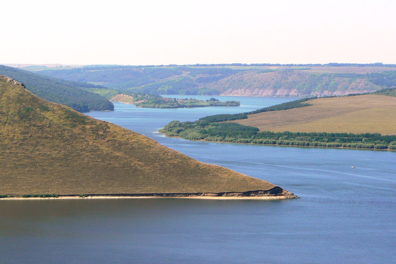
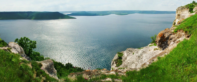
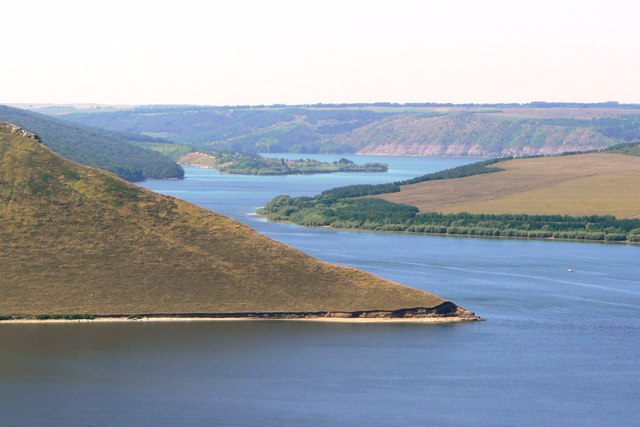
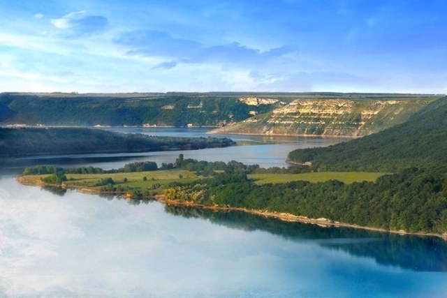
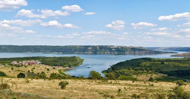
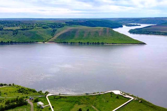
The Bakota tract on the banks of the Bakota Bay on the Dniester river is one of the most popular natural tourist locations in Ukraine, part of the National Nature Park "Podilski Tovtry".
It is located on the limestone Bila Mountain, rising 120 meters above the river, near the village of Horaivka, 45 kilometers east of Kamyanets-Podilskyi, on the road to Stara Ushytsia.
Bakota was the name of an ancient Rus city that existed in this place in the XII-XIII and was the capital of Dniester Ponyzzia. Subsequently, the same name was given to a large village on the banks of the Dniester, which was flooded in 1981 during the creation of an artificial Dniester reservoir. Only on the slope of Bila Mountain ...
The Bakota tract on the banks of the Bakota Bay on the Dniester river is one of the most popular natural tourist locations in Ukraine, part of the National Nature Park "Podilski Tovtry".
It is located on the limestone Bila Mountain, rising 120 meters above the river, near the village of Horaivka, 45 kilometers east of Kamyanets-Podilskyi, on the road to Stara Ushytsia.
Bakota was the name of an ancient Rus city that existed in this place in the XII-XIII and was the capital of Dniester Ponyzzia. Subsequently, the same name was given to a large village on the banks of the Dniester, which was flooded in 1981 during the creation of an artificial Dniester reservoir. Only on the slope of Bila Mountain are the remains of the Bakota Saint Michael Cave Monastery, where a tourist trail leads.
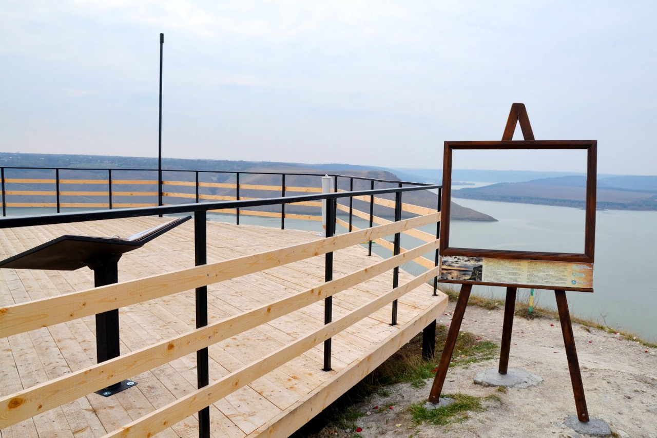
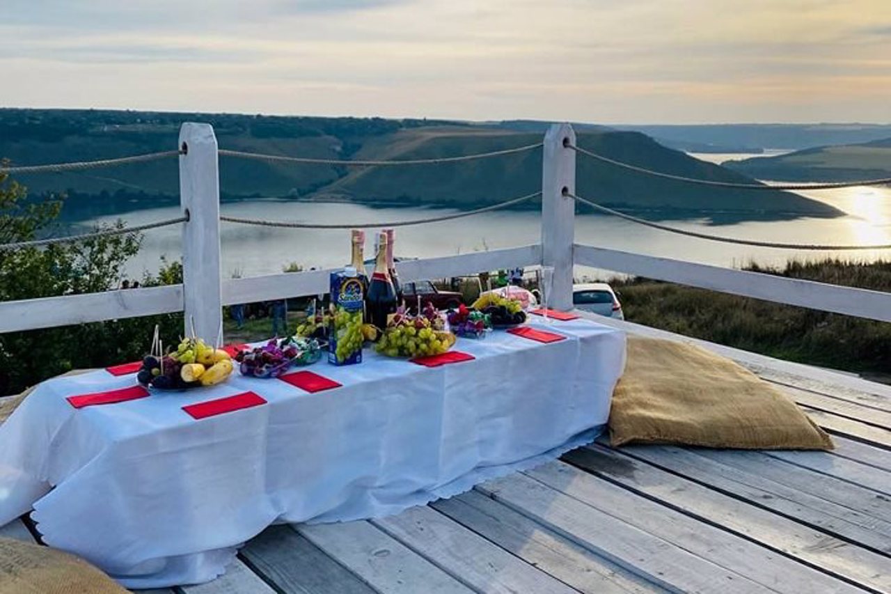
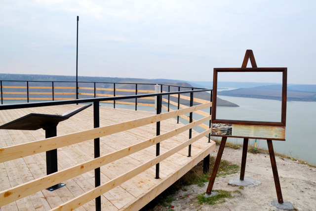
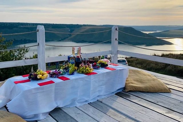
Bakota owes its popularity to the stunning views of Bakota Bay from the observation deck at the top of Bila Mountain, which are especially enchanting at sunset. Within the framework of the project "Bakota - in search of the flooded heritage", a monument to the flooded villages was installed here.
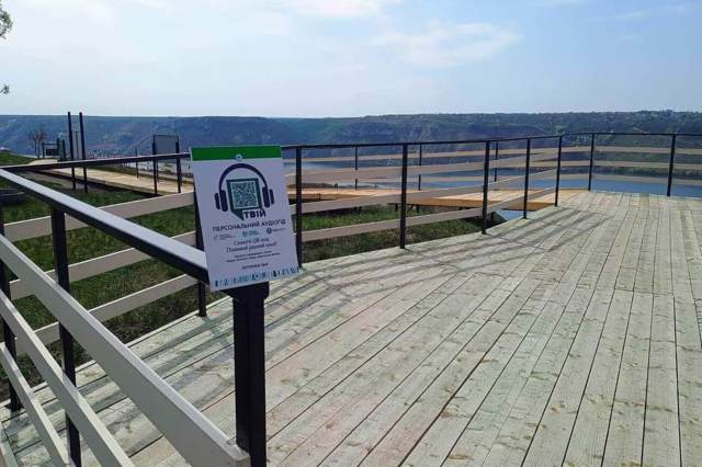
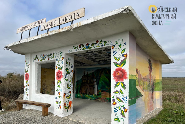
The site is equipped with a suspended wooden walkway, binoculars for viewing the opposite bank, and a tactile map of Bakota for people with visual impairments. The tourist visitor center is open. The route along the "Ancient Bakota" trail has been arranged with QR codes at key points that allow you to listen to the tour online.
Entrance to the park and car parking are paid. Services of tour guides, rental of places for tents and fires, use of tables, etc. are offered. There is a beach at the foot of the mountain.
Урочище Бакота на березі Бакотської затоки Дністра – одна з найпопулярніших природних туристичних локацій України, частина Національного природного парку "Подільські Товтри".
Розташовується на вапняковій Білій горі, що здіймається над рікою на 120 метрів, поблизу села Гораївка, за 45 кілометрів на схід від Кам'янця-Подільського, по дорозі на Стару Ушицю.
Назву Бакота носило давньоруське місто, що існувало на цьому місці у XII–XIII і було столицею Дністровського Пониззя. Згодом цю ж назву мало велике село на березі Дністра, яке було затоплене у 1981 році під час створення штучого Дністровського водосховища. Лише на схилі Білої гори збереглися залишки Бакотського Михайлівського скел ...
Урочище Бакота на березі Бакотської затоки Дністра – одна з найпопулярніших природних туристичних локацій України, частина Національного природного парку "Подільські Товтри".
Розташовується на вапняковій Білій горі, що здіймається над рікою на 120 метрів, поблизу села Гораївка, за 45 кілометрів на схід від Кам'янця-Подільського, по дорозі на Стару Ушицю.
Назву Бакота носило давньоруське місто, що існувало на цьому місці у XII–XIII і було столицею Дністровського Пониззя. Згодом цю ж назву мало велике село на березі Дністра, яке було затоплене у 1981 році під час створення штучого Дністровського водосховища. Лише на схилі Білої гори збереглися залишки Бакотського Михайлівського скельного монастиря, куде веде туристична стежка.
Своєю популярністю Бакота завдячує приголомшливим краєвидам на Бакотську затоку, що відкривається з оглядового майданчика на вершині Білої гори, які особливо зачаровують на заході сонця. У межах проєкту "Бакота – у пошуках затопленої спадщини" тут встановлено пам'ятник затопленим селам.
На майданчику обладнана підвісна дерев'яна доріжка, бінокль для огляду протилежного беріга, тактильна мапа Бакоти для людей з порушеннями зору. Працює туристичний візит-центр. Облаштовано маршрут стежкою "Давня Бакота" з QR-кодами на ключових точках, які дозволяють прослухати екскурсію онлайн.
Вхід на територію парку та автомобільна парковка платні. Пропонуються послуги екскурсоводів, оренда місць для наметів та вогнищ, користування столами тощо. Біля підніжжя гори є пляж.
Practical information about Bakota Tract (Horaivka)
Last update
8/8/2025
| Categories | Historic area, Natural object, Visitor center |
|---|---|
| Address |
Bakota tract
Horaivka |
| Coordinates |
48.58608° N, 26.99917° E
|
| Phone | , |
| Official site |
https://bakota.com.ua/ |
| Additional services |
Аccessibility information
Have you visited Bakota Tract in Horaivka?
Add practical or descriptive information, photos, links
What to see, where to go next?

