Functional temporarily unavailable
Attractions of Ukraine
Attractions region
Attractions Poltava region
Attractions Kremenchuk district
Attractions Kremenchuk
Granite Rapper (Rock-Register)
Granite Rapper (Rock-Register), Kremenchuk
Natural object
General information about Granite Rapper (Rock-Register) (Kremenchuk)
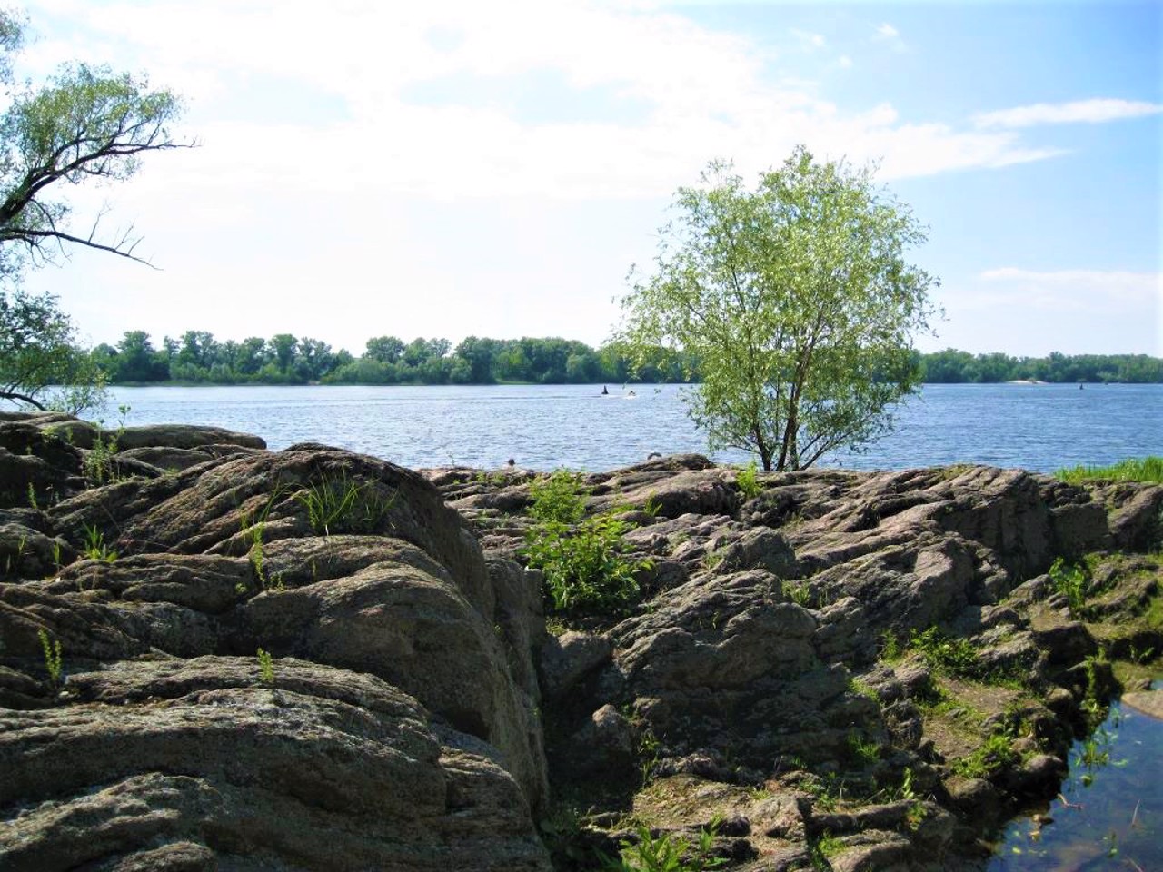
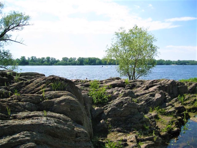
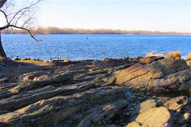
The granite rock on the banks of the Dnipro in Kremenchuk is a geological monument of nature and an ancient geodetic mark.
Until the middle of the 20th century, it was used as a rapper - a sign fixing a point on the earth's surface, the height of which in relation to the original leveled surface was determined by leveling.
The rock is an outcrop of gray biotite-plagioclase magmatites 2.5-3 billion years old. It is also called a granite register.
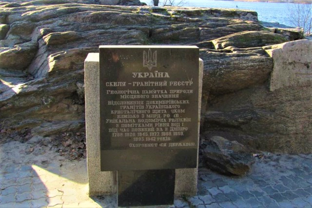
On the rock, which rises 5-6 meters above the river level, there are marks of the highest water levels during floods on the Dnipro since the 18th century. These floods occurred in 1789, 1820, 1845, 1877, 1888, 1889, 1895, 1945.
Since 1970, the granite rapper has been a natural monument of local importance.
Гранітна скеля на березі Дніпра в Кременчуці - геологічна пам'ятка природи та старовинний геодезичний знак.
До середини XX століття використовувався як репер - знак, що закріплює точку земної поверхні, висота якої щодо вихідної рівняної поверхні визначена шляхом нівелювання.
Скеля є виходом сірих біотит-плагіоклазових магматитів віком 2,5-3 мільйрдів років. Її також називають гранітним реєстром.
На скелі, що височіє на 5-6 метрів над рівнем річки, нанесено позначки найбільших рівня води під час повеней на Дніпрі починаючи з ХVIII століття. Ці повені сталися в 1789, 1820, 1845, 1877, 1888, 1889, 1895, 1945 роках.
З 1970 року гранітний репер є пам'яткою природи місцевого значення.
Practical information about Granite Rapper (Rock-Register) (Kremenchuk)
Last update
3/20/2024
| Categories | Natural object |
|---|---|
| Address |
Naberezhna Street
Kremenchuk |
| Coordinates |
49.059495° N, 33.399616° E
|
| Additional services |
Аccessibility information
Have you visited Granite Rapper (Rock-Register) in Kremenchuk?
Add practical or descriptive information, photos, links
What to see, where to go next?


