Functional temporarily unavailable
Settlements
Ivano-Frankivsk region
Cities and villages of
Ivano-Frankivsk
region
Online travel guide to the settlements of
Ivano-Frankivsk
region

Districts of Ivano-Frankivsk region
Ivano-Frankivsk district
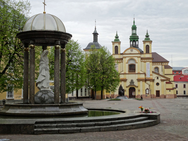
Ivano-Frankivsk district (Ivano-Frankivskyi) is located in the northern part of Ivano-Frankivsk region, in the historical and ethnographic territories of Halicia and Prykarpattia. The Dniester River and its tributary Bystrytsia Solotvynska flow within the district.
The Halician National Nature Park is located on its territory, as well as such historical and cultural mo... Read more
Ivano-Frankivsk district (Ivano-Frankivskyi) is located in the northern part of Ivano-Frankivsk region, in the historical and ethnographic territories of Halicia and Prykarpattia. The Dniester River and its tributary Bystrytsia Solotvynska flow within the district.
The Halician National Nature Park is located on its territory, as well as such historical and cultural monuments as the National Reserve "Ancient Halych", the Collegiate Church of the Blessed Virgin Mary, the Cathedral of the Holy Resurrection, the Armenian Church, the remains of Stanislaviv Fortress and Potocki Palace Frankivsk, the wooden church of the Holy Spirit in Rohatyn, the Manyavsky Exaltation of the Cross Monastery, etc.
The administrative center of Ivano-Frankivskyi district is the regional center, the city of Ivano-Frankivsk (counties Stanislav, Stanislaviv). The area of the district is 3913 square kilometers. The population of the district reaches 560 thousand people.
Ivano-Frankivsk district consists of 319 settlements, which are united in 20 territorial hromadas: Ivano-Frankivska, Burshtynska, Halytska, Rohatynska, Tlumatska and Tysmenytska city hromadas, Bohorodchanska, Solotvynska, Bilshivtsivska, Bukachivska, Obertynska, Yezupilska and Lysetska settlement hromadas, Dzvyniatska, Starobohorodchanska, Dubovetska, Oleshanska, Zahvizdianska, Uhrynivska and Yamnytska village territorial hromadas.
Kalush district
Kalush district (Kaluskyi) is located in the western part of Ivano-Frankivsk region, on the historical and ethnographic lands of Halicia and Prykarpattia. The northern boundary of the district runs along the Dniester, and within the district its tributaries flow - the rivers Limnytsia and Svicha.
Here are the Regional Landscape Park "Polyanytsky", reserves of... Read more
Kalush district (Kaluskyi) is located in the western part of Ivano-Frankivsk region, on the historical and ethnographic lands of Halicia and Prykarpattia. The northern boundary of the district runs along the Dniester, and within the district its tributaries flow - the rivers Limnytsia and Svicha.
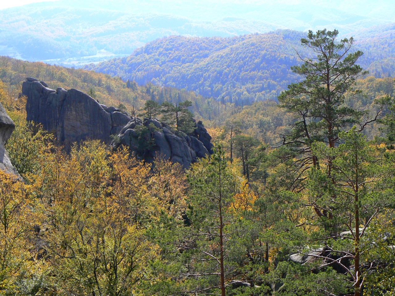
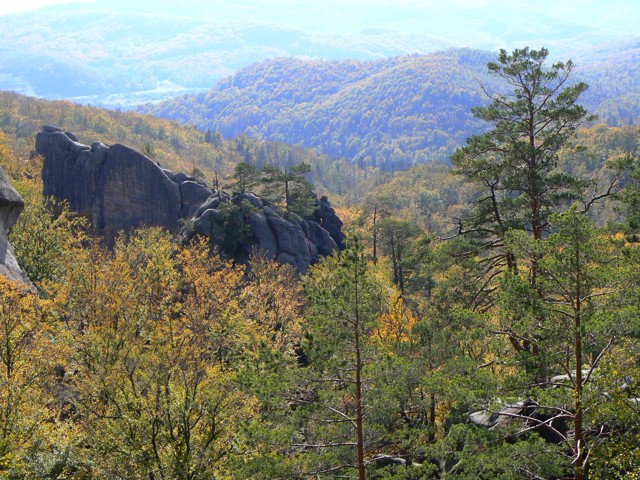
Here are the Regional Landscape Park "Polyanytsky", reserves of national importance "Yaykivsky", "Turova dacha" and "Hrofa", a complex natural monument of national importance "Dovbush Rocks" with artificial caves and others. A popular tourist attraction is the Vyhoda narrow-gauge railway "Carpathian Tram" with a visitor center and the museum "Heritage Center of the Vyhoda Narrow Gauge Railway". Among the historical and cultural monuments, the Historical and Memorial Museum of Stepan Bandera in Staryi Uhryniv, the Hoshiv Basilian Monastery of the Transfiguration, and the Bolekhiv Town Hall deserve the most attention.
The administrative center of Kaluskyi district is the city of Kalush. The area of the district is 3555 square kilometers. The population of the district exceeds 285 thousand people.
The Kalush district consists of 319 settlements, which are united in 20 territorial hromadas: Bolekhivska, Kaluska and Dolynska city hromadas, Vyhodska, Voinylivska, Broshniv-Osadska, Perehinska and Rozhniativska settlements hromadas, Vytvytska, Verkhnianska, Novytska, Dubivska and Spaska village territorial hromadas.
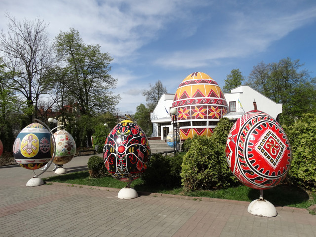
Kolomyia district
Kolomyia district (Kolomyiskyi) is located in the eastern part of Ivano-Frankivsk region, in the historical and ethnographic territories of Pokuttya and Hutsul region, between the rivers Dniester, Cheremosh and Carpathians.
Within the district there is a part of the National Nature Park "Hutsulshchyna" and Knyazhdvirsky Reserve of national importance. Here ar... Read more
Kolomyia district (Kolomyiskyi) is located in the eastern part of Ivano-Frankivsk region, in the historical and ethnographic territories of Pokuttya and Hutsul region, between the rivers Dniester, Cheremosh and Carpathians.
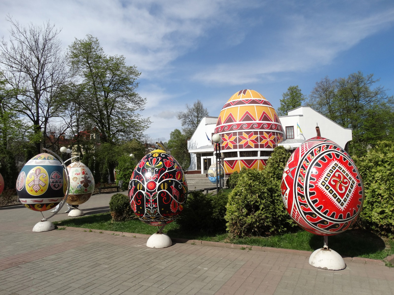
Within the district there is a part of the National Nature Park "Hutsulshchyna" and Knyazhdvirsky Reserve of national importance. Here are such historical and cultural monuments as the National Museum of Folk Art of Hutsul and Pokuttya. Josaphat Kobrynsky with the Museum of Easter Egg Painting, the oldest wooden Hutsul Church of the Annunciation of the Blessed Virgin Mary, the Church of the Immaculate Conception with sculptures by Pinzel and the Armenian Church in Horodenka, Sniatyn Town Hall. On the Dniester near the villages of Rakovets and Luka, water tourism is developing: rafting and kayaking, cruise ships, campsites.
The administrative center of Kolomyiskyi district is the city of Kolomyia. The area of the district is almost 2485 square kilometers. The population of the district reaches 280 thousand people.
The Kolomyia district includes 190 settlements, which are united into 13 territorial hromadas: Kolomyiska, Horodenkivska and Sniatynska city hromadas, Chernelytska, Hvizdetska, Otyniiska, Pechenizhynska and Zabolotivska settlement hromadas, Korshivska, Mateivetska, Nyzhnoverbizka, Pidhaichykivska and Pyadytska village territorial hromadas.
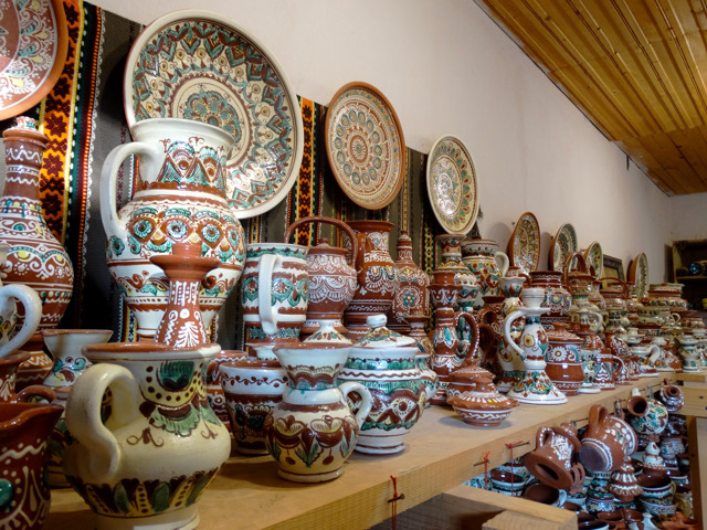
Kosiv district
Kosiv district (Kosivskyi) is located in the south-eastern part of Ivano-Frankivsk region, in the foothills and lowlands of the Pokutsko-Bukovynian Carpathians, on the historical and ethnographic lands of Hutsul region. The Cheremosh River flows along the south-eastern border of the district.
On its tributaries Pistynka, Rybnytsia and others. There are more than 20 wat... Read more
Kosiv district (Kosivskyi) is located in the south-eastern part of Ivano-Frankivsk region, in the foothills and lowlands of the Pokutsko-Bukovynian Carpathians, on the historical and ethnographic lands of Hutsul region. The Cheremosh River flows along the south-eastern border of the district.
On its tributaries Pistynka, Rybnytsia and others. There are more than 20 waterfalls, the most famous of which are the Silver Falls in Sheshory: Big Huk and Small Huk. A large part of the district is located within the National Nature Park "Hutsulshchyna", where the tourist and art complex "Estate of St. Nicholas" operates.
Kosiv region is famous for traditional Hutsul folk crafts: Kosiv painted pottery, Yavoriv woolen bedspreads, carved ornaments on wooden products from Kosmach. The largest selection of such souvenirs is presented at the largest weekly Kosiv fair in the Carpathians. Works of Hutsul decorative and applied art can be found in the Kosiv Museum of Folk Art and Life of the Hutsul Region and in private estates-museums of folk artists.
The administrative center of Kosivskyi district is the city of Kosiv. This is the smallest district of Ukraine - its area is just over 853 square kilometers. The population is 85 thousand people.
Kosiv district includes 40 settlements, which are united into 5 territorial hromadas: Kosivska city hromada, Kutska and Yablunivska settlement hromadas, Kosmatska and Rozhnivska village territorial hromadas.
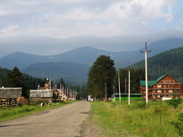
Nadvirna district
Nadvirna district (Nadvirnianskyi) is located in the south-western part of Ivano-Frankivsk region, in the historical and ethnographic territories of Prykarpattia and Hutsul region.
The Gorgany Nature Reserve, part of the Carpathian National Nature Park, and the Prut and Bystrytsia-Nadvirnyanska rivers flow within the district. This is where the most popular route to cl... Read more
Nadvirna district (Nadvirnianskyi) is located in the south-western part of Ivano-Frankivsk region, in the historical and ethnographic territories of Prykarpattia and Hutsul region.
The Gorgany Nature Reserve, part of the Carpathian National Nature Park, and the Prut and Bystrytsia-Nadvirnyanska rivers flow within the district. This is where the most popular route to climb to the highest peak of Ukraine - Mount Hoverla. Popular natural attractions are Probiy and Zhenetsky Huk waterfalls. There are such historical and cultural monuments as Pniv Castle, wooden churches of St. Michael and the Nativity of the Virgin, restaurant-museum "Hutsulshchyna".
Nadvirna is the main ski center of Prykarpattia. Here are the largest ski resort in Ukraine Bukovel with a developed tourist infrastructure, the ski resort of Vorokhta with a centuries-old history, other ski resorts. The informal resort capital of the region is considered to be the climatic resort, the city of Yaremche, where there is the best choice of hotels and the largest souvenir market in the region.
The administrative center of Nadvirnianskyi district is the city of Nadvirna. The area of the district is 1872 square kilometers. The population of the district reaches 130 thousand people.
The Nadvirna district consists of 50 settlements, which are united into 8 territorial hromadas: Yaremchanska and Nadvirnianska city hromadas, Vorokhtianska, Deliatynska and Lanchynska settlements hromadas, Polianytska, Pasichnianska and Pererislianska village territorial hromadas.
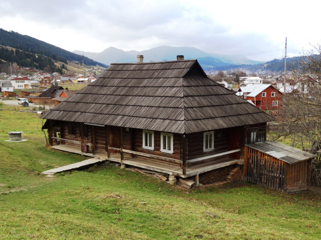
Verkhovyna district
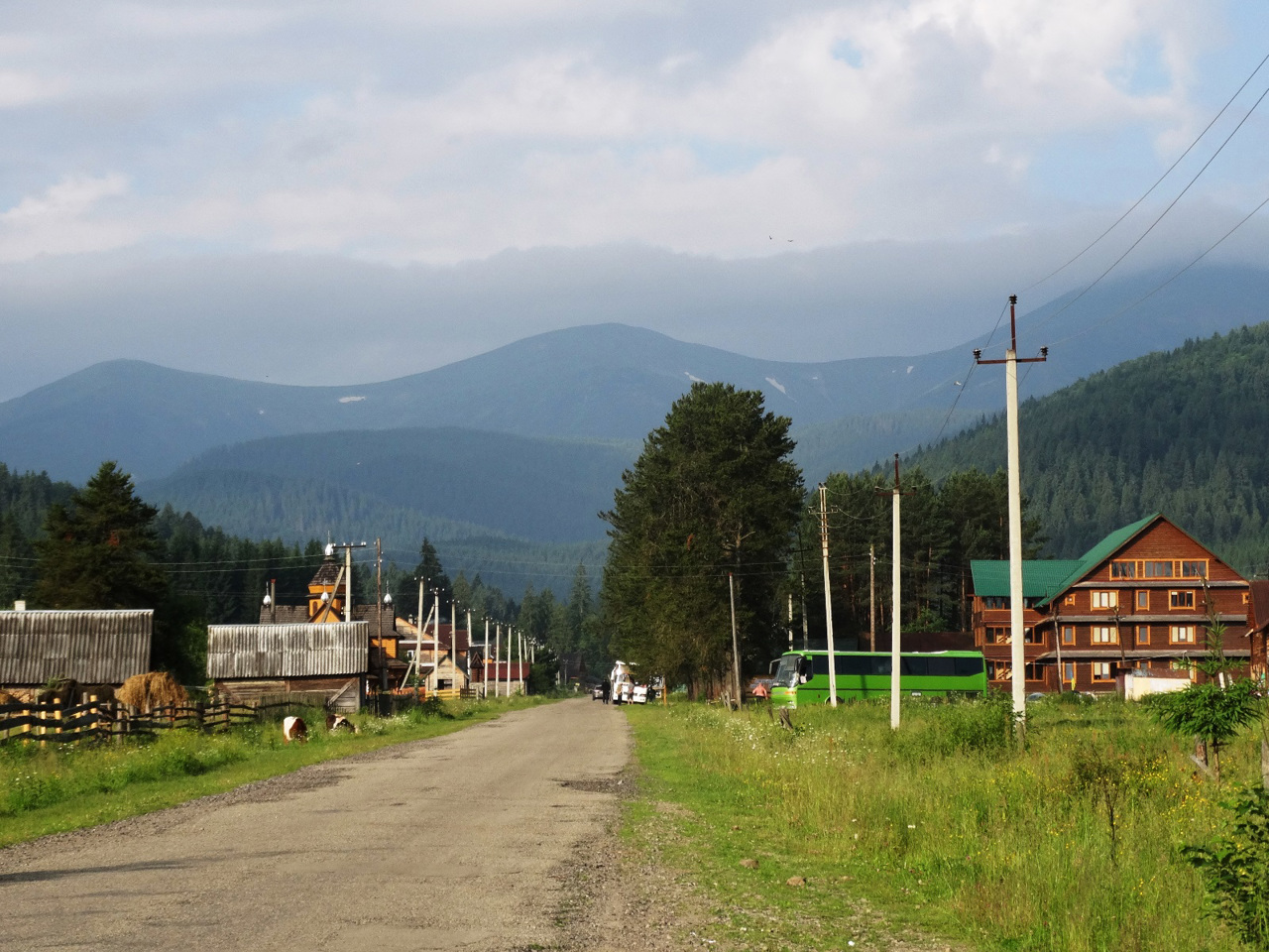
Verkhovyna district (Verkhovynskyi) is located in the southern, mountainous part of Ivano-Frankivsk region, in the historical and ethnographic territory of Hutsul region. It borders Romania to the south. The Black Cheremosh River flows within the district.
Here is the Verkhovyna National Nature Park, as well as part of the Carpathian National Nature Park.
Due to ... Read more
Verkhovyna district (Verkhovynskyi) is located in the southern, mountainous part of Ivano-Frankivsk region, in the historical and ethnographic territory of Hutsul region. It borders Romania to the south. The Black Cheremosh River flows within the district.
Here is the Verkhovyna National Nature Park, as well as part of the Carpathian National Nature Park.
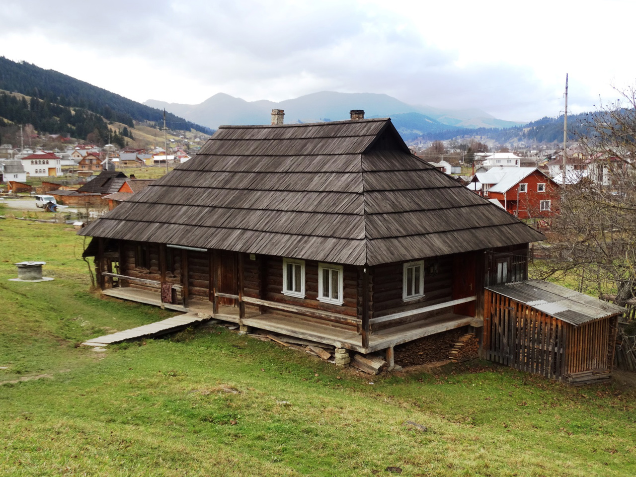
Due to the inaccessibility in the Verkhovyna region, the traditional culture and way of life of Ukrainian mountaineers are best preserved, which can be found in the museum "Hutsul homestead of a Hutsul housewife", in the Verkhovyna museum "Hutsulshchyna" and in numerous private ethnographic museums. Architectural monuments of national importance are the wooden churches of the Nativity of the Blessed Virgin in Kryvorivnya, the Holy Apostles Peter and Paul in Krasnoilya, the Beheading of John the Baptist in Zelene and others. Excursions to shepherds on mountain meadows and master classes on preparation of Hutsul sheep bryndza, which became the first Ukrainian product with a geographical indication, are popular.
The administrative center of Verkhovynskyi district is the village of Verkhovyna (former Zhabye), which has a developed tourist infrastructure. The area of the district is more than 1270 square kilometers. At the same time, it is the least populated region of Ukraine - its population barely exceeds 30 thousand people.
Verkhovyna district consists of 43 settlements, which are united into 3 territorial hromadas: Verkhovynska settlement hromada, Biloberizka and Zelenska village territorial hromadas.
