Functional temporarily unavailable
Settlements
Luhansk region
Cities and villages of
Luhansk region
Online travel guide to the settlements of
Luhansk region

Districts of Luhansk region
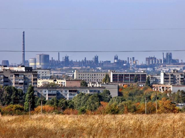
Alchevsk district
Alchevsk district (Alchevskyi) is located in the western part of Luhansk region, in the historical and ethnographic territory of Slobozhanshchyna. Located in the temporarily occupied territory of ORDLO.
The rivers Luhansk and Bila flow within the district. The river Mius also originates here, the nature of its upper reaches is protected by the landscape reserve of loca... Read more
Alchevsk district (Alchevskyi) is located in the western part of Luhansk region, in the historical and ethnographic territory of Slobozhanshchyna. Located in the temporarily occupied territory of ORDLO.
The rivers Luhansk and Bila flow within the district. The river Mius also originates here, the nature of its upper reaches is protected by the landscape reserve of local significance "Mius". Archaeological monument IV - II millennium BC there is a Merhel ridge near Buhaivka.
The administrative center of Alchevskyi district is the city of Alchevsk, where a monument to the founder of the city, merchant Oleksiy Alchevskyi, a museum of local lore. The area of the district is more than 2006 square kilometers. The population of the district reaches 443 thousand people.
The Alchevsk district consists of 94 settlements, which are united into 3 territorial hromadas: Alchevska, Zymohiryivska and Kadiivska city territorial hromadas.
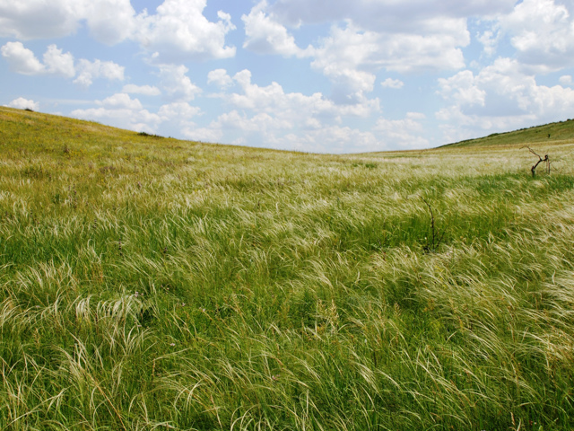
Dovzhansk district
Dovzhansk district (Dovzhanskyi) is located in the south-eastern part of Luhansk region, on the historical and ethnographic territory of Slobozhanshchyna. It borders Russia to the east. Located in the temporarily occupied territory of ORDLO.
The Velyka Kamyanka River flows within the district, the Kundryucha River originates. Here is a branch of the Luhansk Nature Rese... Read more
Dovzhansk district (Dovzhanskyi) is located in the south-eastern part of Luhansk region, on the historical and ethnographic territory of Slobozhanshchyna. It borders Russia to the east. Located in the temporarily occupied territory of ORDLO.
The Velyka Kamyanka River flows within the district, the Kundryucha River originates. Here is a branch of the Luhansk Nature Reserve - Provalsky Steppe.
The administrative center of Dovzhanskyi district is the city of Dovzhansk. The area of the district is 2139 square kilometers. The population of the district reaches 208 thousand people.
Dovzhansky district includes 97 settlements, which are united into 2 territorial hromadas: Dovzhanska and Sorokynska city territorial hromadas.
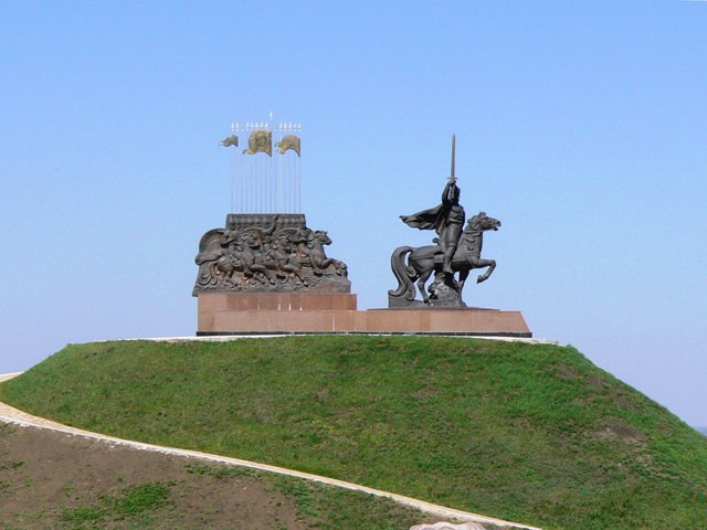
Luhansk district
Luhansk district (Luhanskyi) is located in the central part of Luhansk region, on the historical and ethnographic territory of Slobozhanshchyna. Located in the temporarily occupied territory of ORDLO.
The rivers Seversky Donets and Luganka (Luganka) flow within the district. There are such historical and cultural monuments as Peter and Paul Cathedral, the Literary Muse... Read more
Luhansk district (Luhanskyi) is located in the central part of Luhansk region, on the historical and ethnographic territory of Slobozhanshchyna. Located in the temporarily occupied territory of ORDLO.
The rivers Seversky Donets and Luganka (Luganka) flow within the district. There are such historical and cultural monuments as Peter and Paul Cathedral, the Literary Museum of Volodymyra Dalya and the park of stone sculptures in Lugansk, the estate of Sharinsky-Shakhmatov in Oleksandrivsk, a military memorial on the mountain Acute Grave.
The administrative center of Luhanskyi district is the regional center, the city of Luhansk. The area of the district is more than 2147 square kilometers. The population of the district reaches 535 thousand people.
Luhansk district consists of 98 settlements, which are united into 3 territorial hromadas: Luhanska, Lutuhynska and Otamanivska city territorial hromadas.
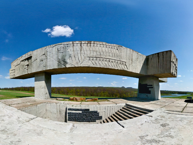
Rovenky district
Rovenky district (Rovenkivskyi) is located in the south-western part of Luhansk region, on the historical and ethnographic territory of Slobozhanshchyna. It borders Russia to the south. Located in the temporarily occupied territory of ORDLO.
The Luhanchyk River (a tributary of the Siversky Donets) flows within the district. Near the city of Crystal is a memorial comple... Read more
Rovenky district (Rovenkivskyi) is located in the south-western part of Luhansk region, on the historical and ethnographic territory of Slobozhanshchyna. It borders Russia to the south. Located in the temporarily occupied territory of ORDLO.
The Luhanchyk River (a tributary of the Siversky Donets) flows within the district. Near the city of Crystal is a memorial complex "Mius-Front".
The administrative center of Rovenkivskyi district is the city of Rovenky. The area of the district is 2088 square kilometers. The population of the district reaches almost 300 thousand people.
The Rovenky district consists of 94 settlements, which are united into 3 territorial hromadas: Antratsytivska, Rovenkivska and Khrustalnenska city territorial hromadas.
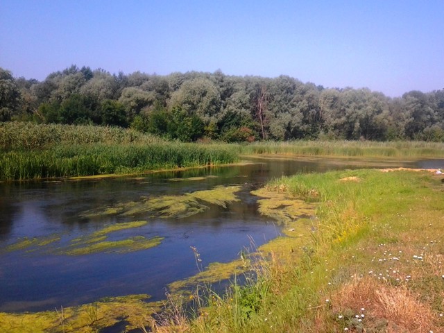
Shchastia district
Shchastia district (Shchastynskyi) is located in the central part of Luhansk region, on the historical and ethnographic territory of Slobozhanshchyna. It borders Russia to the east. The rivers Siversky Donets and Aidar flow within the district.
The nature of the Prydintsiivska floodplain is protected by the Stanychno-Luhansky Nature Reserve, one of the branches of the ... Read more
Shchastia district (Shchastynskyi) is located in the central part of Luhansk region, on the historical and ethnographic territory of Slobozhanshchyna. It borders Russia to the east. The rivers Siversky Donets and Aidar flow within the district.
The nature of the Prydintsiivska floodplain is protected by the Stanychno-Luhansky Nature Reserve, one of the branches of the Luhansk Nature Reserve.
The administrative center of Shchastynskyi district is the village of Novoaidar. The area of the district is over 3380 square kilometers. The population of the district exceeds 80 thousand people.
The Shchastia district consists of 83 settlements, which are united into 5 territorial hromadas: Shchastynska city hromada, Novoaidarska and Stanychno-Luhanska settlement hromadas, Nyzhn'oteplivska and Shyrokivska village territorial hromadas.
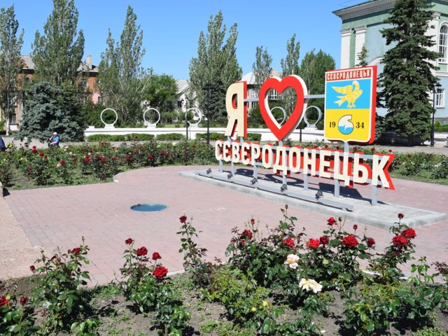
Siverskodonetsk district
Siverskodonetsk district (Siverskodonetskyi) is located in the western part of Luhansk region, on the historical and ethnographic territory of Slobozhanshchyna. The Siversky Donets River flows within the district.
Near Lysychansk there is a geological natural monument "Congresses (Helmersen) ravine".
The administrative center of the Siverskodonetsk dist... Read more
Siverskodonetsk district (Siverskodonetskyi) is located in the western part of Luhansk region, on the historical and ethnographic territory of Slobozhanshchyna. The Siversky Donets River flows within the district.
Near Lysychansk there is a geological natural monument "Congresses (Helmersen) ravine".
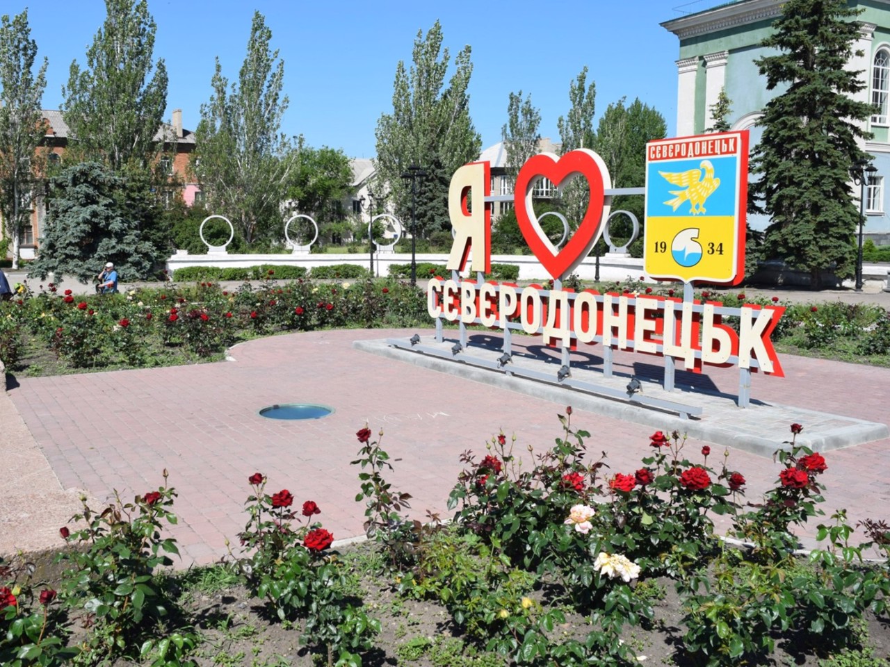
The administrative center of the Siverskodonetsk district is the city of Siverskodonetsk. The administration of the Luhansk region is temporarily located in it. The area of the district is more than 2685 square kilometers. The population of the district exceeds 375 thousand people.
The Siverskodonetsk district consists of 84 settlements, which are united into 6 territorial hromadas: Hirska, Kreminska, Lysychanska, Popasnianska, Rubizhanska and Siverskodonetsk city territorial hromadas.
Starobilsk district
Starobilsk district (Starobilskyi) is located in the north-eastern part of Luhansk region, on the historical and ethnographic territory of Slobozhanshchyna. It borders Russia to the east.
Milove town is the easternmost point of Ukraine - the state border and the North Caucasus Railway line actually divide it into two parts, with the Russian village of Chortkove located... Read more
Starobilsk district (Starobilskyi) is located in the north-eastern part of Luhansk region, on the historical and ethnographic territory of Slobozhanshchyna. It borders Russia to the east.
Milove town is the easternmost point of Ukraine - the state border and the North Caucasus Railway line actually divide it into two parts, with the Russian village of Chortkove located close to it.
The Aidar River flows within the district. Bilovodsk Regional Landscape Park with the Yunitsky Botanical Reserve, which houses the Yunitsky Museum.
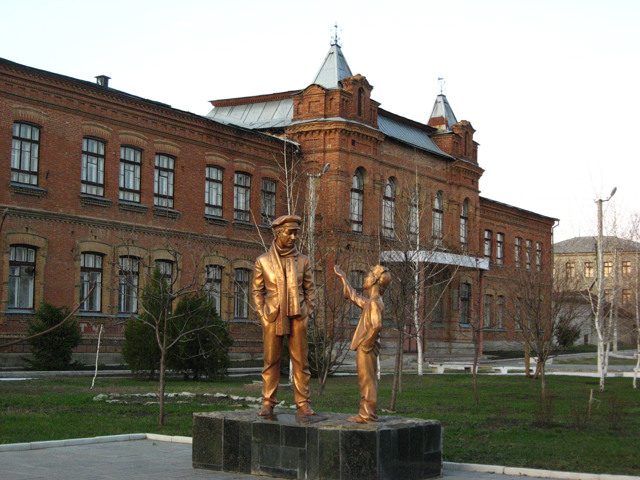
The administrative center of Starobilskyi district is the city of Starobilsk. Here are such historical and cultural monuments as Starobilsky convent "Joy of All Who Sorrow", the building of Catherine's Women's Gymnasium, fragments of old city buildings. The monument to Ostap Bender reminds that Starobilsk is a prototype of the city of Starhorod from Ilf and Petrov's novel "12 chairs".
The area of the district is more than 6930 square kilometers. The population of the district reaches 130 thousand people.
The Starobilsky district consists of 194 settlements, which are united into 8 territorial hromadas: Starobilska city hromada, Bilovodska, Bilolutska, Markivska, Milovska and Aidarivska settlement hromadas, Chmyrivska and Shulhynska village territorial hromadas.
Svatove district
Svatove district (Svativskyi) is located in the northern part of Luhansk region, on the historical and ethnographic territory of Slobozhanshchyna. It borders Russia in the northeast.
The Krasna River (a tributary of the Siversky Donets) flows within the district. Another tributary of the Siversky Donets, the Zherebets River, also originates from a spring near the villa... Read more
Svatove district (Svativskyi) is located in the northern part of Luhansk region, on the historical and ethnographic territory of Slobozhanshchyna. It borders Russia in the northeast.
The Krasna River (a tributary of the Siversky Donets) flows within the district. Another tributary of the Siversky Donets, the Zherebets River, also originates from a spring near the village of Stelmakhivka.
The administrative center of Svativskyi district is the city of Svatove. The area of the district is almost 5330 square kilometers. The population of the district barely exceeds 80 thousand people.
Svatove district consists of 181 settlements, which are united into 7 territorial hromadas: Svativska city hromada, Bilokurakynska, Krasnorichenska, Lozno-Oleksandrivska, Nyzhnyoduvanska, Troitska and Kolomyichyska village territorial hromadas.
