Functional temporarily unavailable
Settlements
Poltava region
Cities and villages of
Poltava
region
Online travel guide to the settlements of
Poltava
region

Districts of Poltava region
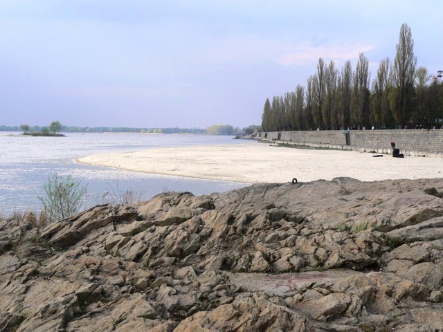
Kremenchuk district
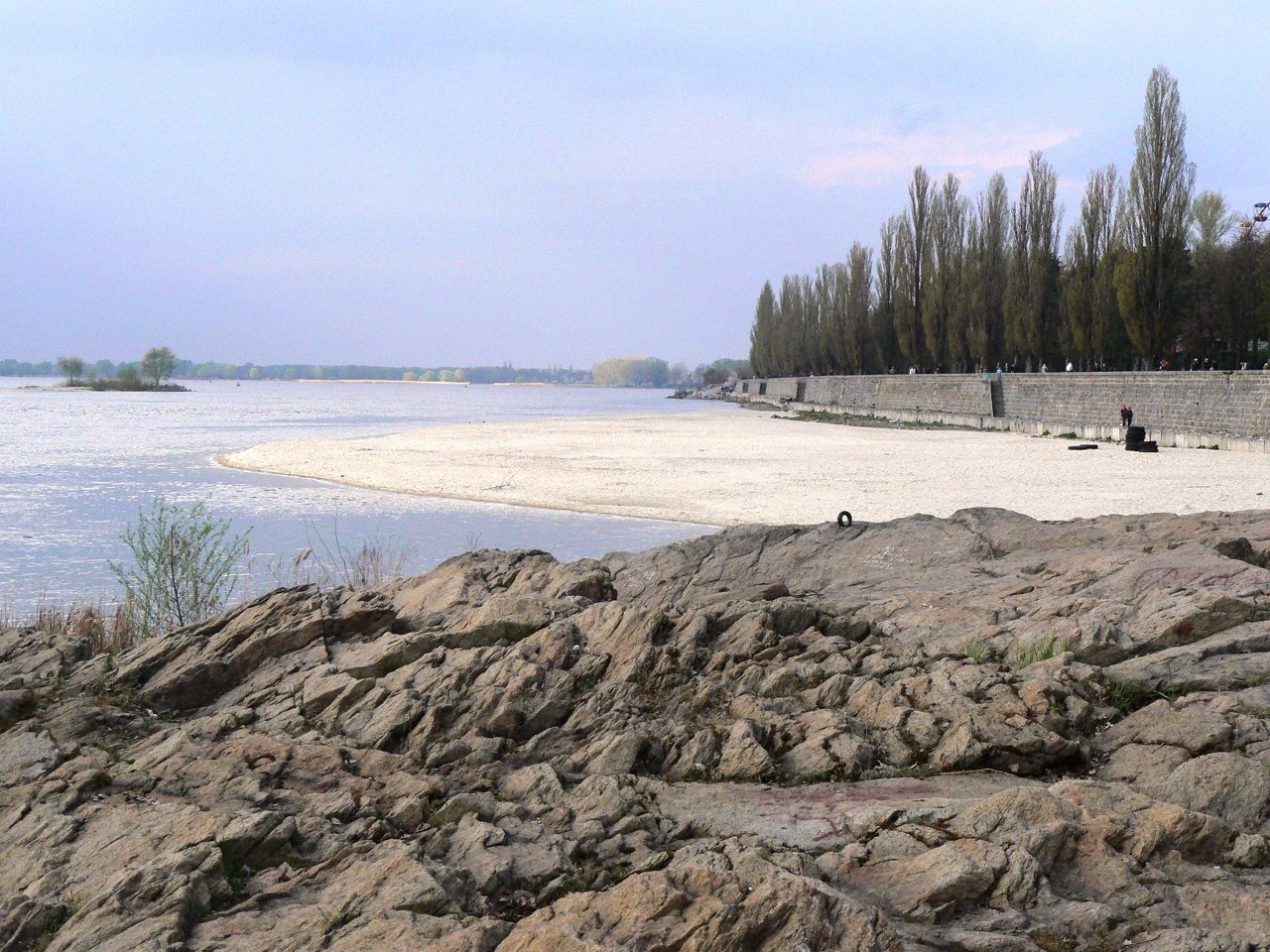
Kremenchuk district (Kremenchutskyi) is located in the southwestern part of Poltava region, in the historical and ethnographic region of the Middle Dnipro. The territory of the district is crossed by the Dnipro River, where the Psel and Sula rivers flow into it.
The nature of the mouth of the Sula is protected by the Lower Sula National Nature Park. The highest point o... Read more
Kremenchuk district (Kremenchutskyi) is located in the southwestern part of Poltava region, in the historical and ethnographic region of the Middle Dnipro. The territory of the district is crossed by the Dnipro River, where the Psel and Sula rivers flow into it.
The nature of the mouth of the Sula is protected by the Lower Sula National Nature Park. The highest point of Poltava region and the Dnipro part of the Left Bank of Ukraine is considered to be Mount Pyvykha, located in the town of Hradizk. Ustymivka Dendrological Park has the status of an arboretum of national importance.
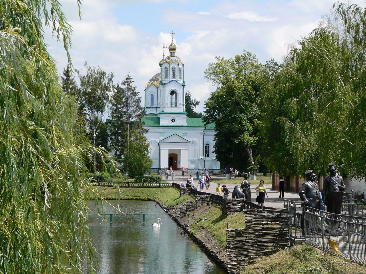
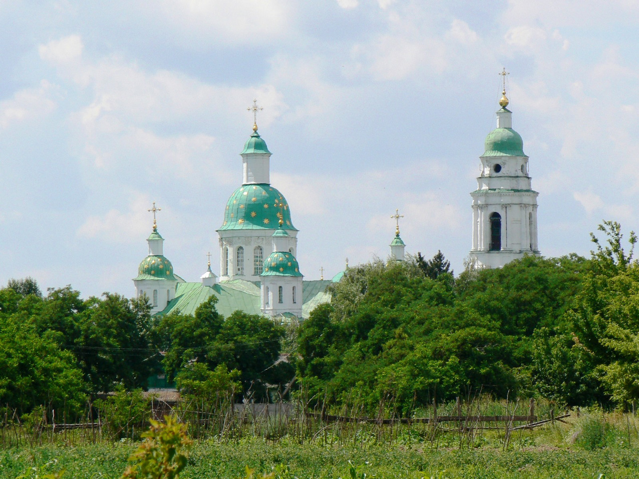
The administrative center of Kremenchutskyi district is the large industrial city of Kremenchuk. The water area, islands and the coastal strip of the Dnipro between the left-bank and right-bank parts of Kremenchuk are part of the Regional Landscape Park "Kremenchuh Floods". Architectural monuments are the Church of the Assumption, the club after Ivan Kotlov and the House for monitoring the movement of ships on the Dnipro. The architectural monument of national importance is the Cathedral of the Nativity of the Virgin in the village of Kozelshchyna.
The area of the district is more than 6105 square kilometers. The population of the district reaches 400 thousand people.
The Kremenchuk district includes 325 settlements, which are united in 12 territorial hromadas: Kremenchutska, Hlobynska and Horishnoplavnivska city hromadas, Hradyzka, Kozelshchynska and Semenivska settlement hromadas, Kamyanopotokivska, Novohaleshchynska, Obolonska, Omelnytska, Pishchanska and Pryshybska village territorial hromadas.
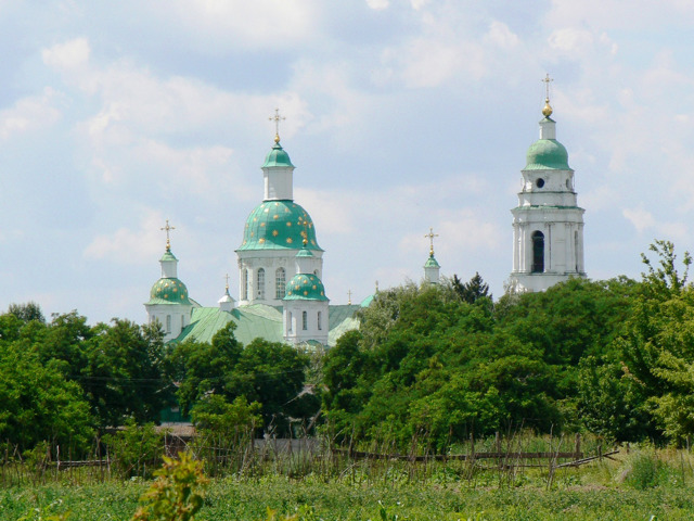
Lubny district
Lubny district (Lubenskyi) is located in the north-western part of Poltava region, in the historical and ethnographic region of the Middle Dnipro. The Sula and Udai rivers flow within the district.
Here are the Pyriatyn National Nature Park and part of the Nizhnyosulsky National Nature Park. Berezovorudsky Park is a monument of landscape art of national importance.
... Read moreLubny district (Lubenskyi) is located in the north-western part of Poltava region, in the historical and ethnographic region of the Middle Dnipro. The Sula and Udai rivers flow within the district.
Here are the Pyriatyn National Nature Park and part of the Nizhnyosulsky National Nature Park. Berezovorudsky Park is a monument of landscape art of national importance.
The most interesting historical and cultural monuments of the district include the Mharsky Spaso-Preobrazhensky Monastery, the Zakrevsky estate in Berezova Rudka, the Church of the Nativity of the Virgin in Lubny, the Cathedral of the Nativity of the Virgin and the water tower in Pyriatyn, a number of Zemstvo schools in the Ukrainian architectural style.
The administrative center of Lubenskyi district is the city of Lubny. The area of the district is 5477 square kilometers. The population of the district exceeds 190 thousand people.
The Lubny district includes 345 settlements, which are united into 7 territorial hromadas: Lubenska, Hrebinkivska, Pyriatynska and Khorolska city hromadas, Novoorzhytska, Orzhytska and Chornukhynska settlement territorial hromadas.
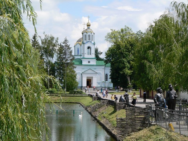
Myrhorod district
Myrhorod district (Myrhorodskyi) is located in the central part of Poltava region, in the historical and ethnographic region of the Middle Dnipro. The rivers Psel, Khorol, Sula and others flow within the district.
The administrative center of Myrhorodskyi district is the resort town of Myrhorod, which since 1917 has been developing as a balneological resort on the spri... Read more
Myrhorod district (Myrhorodskyi) is located in the central part of Poltava region, in the historical and ethnographic region of the Middle Dnipro. The rivers Psel, Khorol, Sula and others flow within the district.
The administrative center of Myrhorodskyi district is the resort town of Myrhorod, which since 1917 has been developing as a balneological resort on the springs of Myrhorodska mineral water. It is one of the key points of the classic tourist route through Hohol's places, which also includes the famous fair village of Velyki Sorochyntsi with the Church of the Transfiguration and the Hohol Literary Memorial Museum, as well as the small village of Hohol, where the Mykola Hohol National Museum-Reserve is located.
Khomutetsky Park, where the estate of the Ant-Apostles in Khomutka is located, is a monument of garden and park art of national importance. The school buildings of the former Lokhvytsia Zemstvo, designed by the architect Opanas Slastion in the style of Ukrainian Art Nouveau, are of great historical and cultural significance.
The area of the district is 6287 square kilometers. The population of the district reaches 208 thousand people.
Myrhorod district consists of 425 settlements, which are united in 17 territorial hromadas: Myrhorodska, Hadiatska, Zavodska and Lokhvytska city hromadas, Velykobahachanska , Hoholivska, Komyshnianska, Romodanivska and Shyshatska settlement hromadas, Bilotserkivska, Velykobudyshchanska, Velykosorochynska, Krasnolutska, Liutenska, Petrivsko-Romenska, Senchanska and Serhiivska village territorial hromadas.
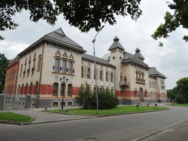
Poltava district
Poltava district (Poltavskyi) is located in the eastern part of Poltava region, in the historical and ethnographic region of the Middle Dnipro. The rivers Psel and Vorskla flow within the district, the southern edge is washed by the waters of the Kamyansky Reservoir on the Dnipro.
The nature of the Dykansko-Opishniansky forest massif and the Vorskla floodplain is prote... Read more
Poltava district (Poltavskyi) is located in the eastern part of Poltava region, in the historical and ethnographic region of the Middle Dnipro. The rivers Psel and Vorskla flow within the district, the southern edge is washed by the waters of the Kamyansky Reservoir on the Dnipro.
The nature of the Dykansko-Opishniansky forest massif and the Vorskla floodplain is protected by the Dykansky regional landscape park.
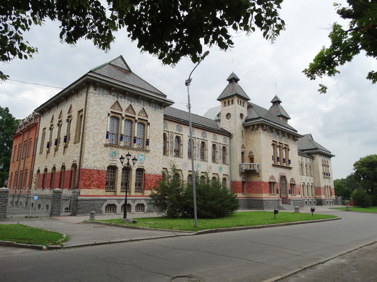
The administrative center of Poltavskyi district is the regional center, the city of Poltava. Here are such historical and cultural monuments as the Assumption Cathedral on St. John's Hill, the Church of the Savior, Poltava Museum of Local Lore named after Vasyl Krychevsky, Ivan Kotlyarevsky Literary Memorial Museum, Panas Myrny Literary Memorial Museum, Poltava Battlefield State Historical and Cultural Reserve, etc.
Bilsk Historical and Cultural Reserve was established on the basis of the largest Scythian settlement in Ukraine, which is associated with the Scythian capital Helon. The classic Hohol route includes the town of Dykanka, where the Mykolaiv ska and Trinity churches have been preserved, as well as the Triumphal Arch of the former Kochubey estate. The centers of preservation and development of folk culture and art are the National Museum-Reserve of Ukrainian Pottery in Opishnia, the All-Ukrainian Center of Embroidery and Carpet Making in Reshetylivka, the Museum of Ukrainian Wedding in Velyky Budyshcha.
Poltava district is one of the largest in Ukraine - its area is almost 10,850 square kilometers. The population of the district exceeds 600 thousand people.
Poltava district consists of 746 settlements, which are united in 24 territorial hromadas: Poltavska, Zinkivska, Karlivska, Kobeliatska and Reshetylivska city hromadas, Bilytska, Dykanska, Kotelevska, Mashivska, Novosanzharska, Opishnianska, Skorokhodivska and Chutivska settlement hromadas, Velykorublivska, Drabynivska, Kolomatska, Lannivska, Martynivska, Machukhivska, Mykhailivska, Nekhvoroshchanska, Novoselivska, Tereshkivska and Shcherbanivska village territorial hromadas.
