Functional temporarily unavailable
Cities and villages of Kalmiuske district
Online travel guide to the settlements of Kalmiuske district
General information about Kalmiuske district
Kalmius district (Kalmiuskyi) is located in the south-eastern part of Donetsk region, in the historical and ethnographic territory of the Azov region. From the south it is washed by the waters of the Sea of Azov. The river Kalmius flows within the district.
Here is the branch of the Ukrainian State Steppe Reserve of the National Academy of Sciences of Ukraine "Khomutovsky Steppe", as well as part of the National Nature Park "Meotida".
The district is located in the temporarily occupied territory of ORDLO.
The administrative center of Kalmiuskyi district is the city of Kalmiuske. The area of the district is more than 3132 square kilometers. The population of the district reaches 122 thousand people.
The Kalmiusky district includes 157 settlemen ...
Kalmius district (Kalmiuskyi) is located in the south-eastern part of Donetsk region, in the historical and ethnographic territory of the Azov region. From the south it is washed by the waters of the Sea of Azov. The river Kalmius flows within the district.
Here is the branch of the Ukrainian State Steppe Reserve of the National Academy of Sciences of Ukraine "Khomutovsky Steppe", as well as part of the National Nature Park "Meotida".
The district is located in the temporarily occupied territory of ORDLO.
The administrative center of Kalmiuskyi district is the city of Kalmiuske. The area of the district is more than 3132 square kilometers. The population of the district reaches 122 thousand people.
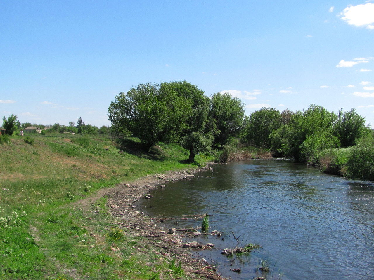
The Kalmiusky district includes 157 settlements, which are united into 5 territorial hromadas: Dokuchaievska, Kalmiuska, Novoazovska city hromadas, Boikivska and Starobeshivska settlement territorial hromadas.
Кальміуський район розташований у південно-східній частині Донецької області, на історико-етнографічній території Приазов'я. З півдня омивається водами Азовського моря. В межах району протікає річка Кальміус.
Тут розташоване відділення Українського державного степового заповідника НАН України "Хомутовський степ", а також частина Національного природного парку "Меотида".
Район перебуває на тимчасово окупованій території ОРДЛО.
Адміністративним центром Кальміуського району є місто Кальміуське. Площа території району становить понад 3132 квадратних кілометри. Чисельність населення району сягає 122 тисяч осіб.
До складу Кальміуського району входять 157 населених пунктів, які об'єднані у 5 територіальних громад: Докучаєвська, Кальміуська, Н ...
Кальміуський район розташований у південно-східній частині Донецької області, на історико-етнографічній території Приазов'я. З півдня омивається водами Азовського моря. В межах району протікає річка Кальміус.
Тут розташоване відділення Українського державного степового заповідника НАН України "Хомутовський степ", а також частина Національного природного парку "Меотида".
Район перебуває на тимчасово окупованій території ОРДЛО.
Адміністративним центром Кальміуського району є місто Кальміуське. Площа території району становить понад 3132 квадратних кілометри. Чисельність населення району сягає 122 тисяч осіб.
До складу Кальміуського району входять 157 населених пунктів, які об'єднані у 5 територіальних громад: Докучаєвська, Кальміуська, Новоазовська міські, Бойківська та Старобешівська селищні громади.


