Functional temporarily unavailable
Cities and villages of Kryvyi Rih district
Online travel guide to the settlements of Kryvyi Rih district
General information about Kryvyi Rih district
Kryvyi Rih district (Kryvorizkyi) is located in the western part of Dnipropetrovsk region, in the historical and ethnographic territory of the Middle Dniprо. The Inhulets River flows within the district and has picturesque rocky shores.
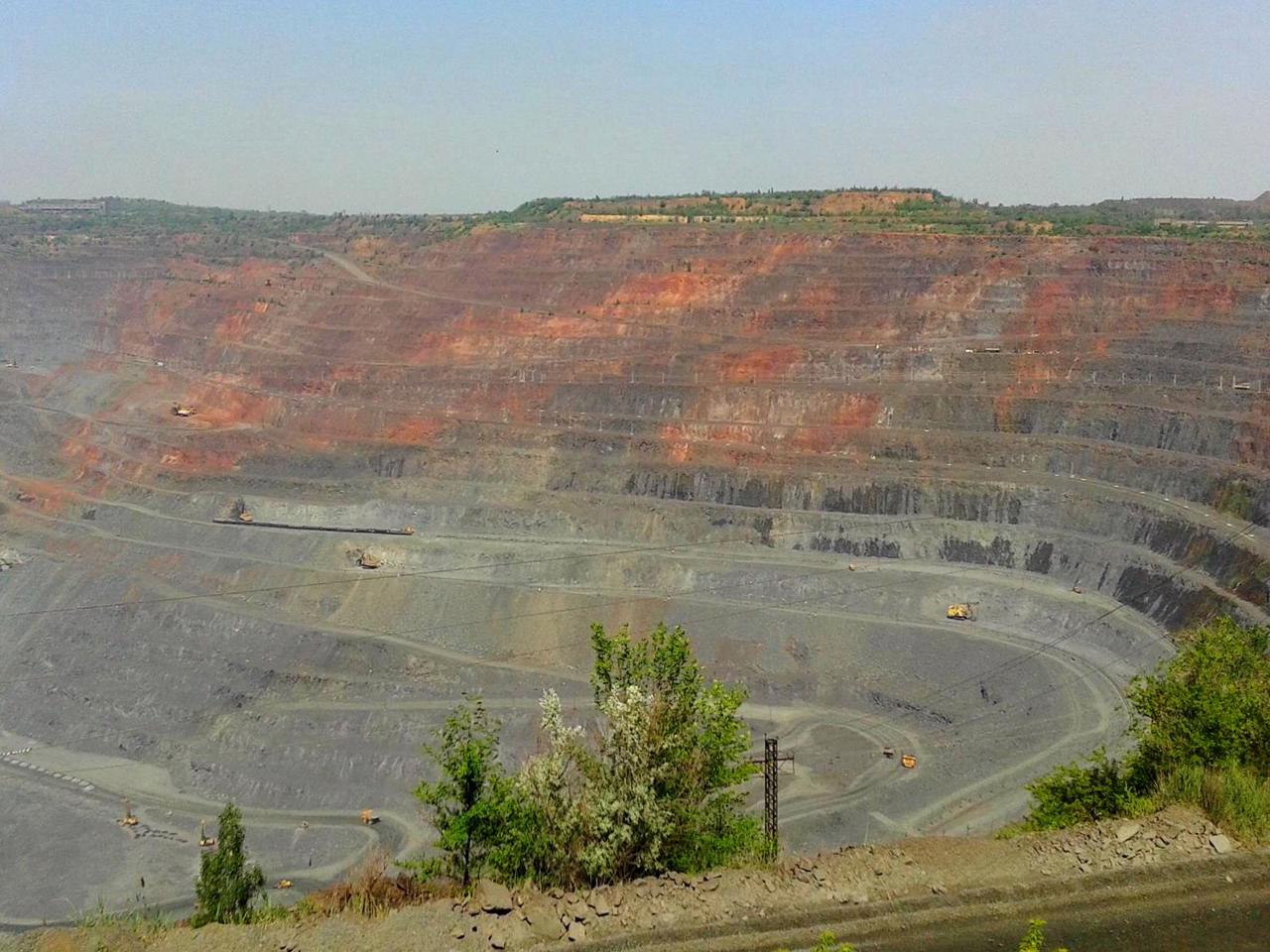
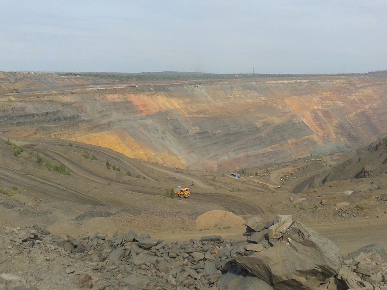
The industrial district has a significant potential for industrial tourism, the objects of which are quarries and dumps of mining and processing plants, as well as the open-air museum of mining equipment of PJSC "ArcelorMittal Kryvyi Rih".
The administrative center of Kryvorizkyi district is the city of Kryvyi Rih. The area of the district is more than 5717 square kilometers. The population of the district reaches 770 thousand people.
The Kryvyi Rih district includes 283 settlements, which are united in 15 territorial hromadas ...
Kryvyi Rih district (Kryvorizkyi) is located in the western part of Dnipropetrovsk region, in the historical and ethnographic territory of the Middle Dniprо. The Inhulets River flows within the district and has picturesque rocky shores.
The industrial district has a significant potential for industrial tourism, the objects of which are quarries and dumps of mining and processing plants, as well as the open-air museum of mining equipment of PJSC "ArcelorMittal Kryvyi Rih".
The administrative center of Kryvorizkyi district is the city of Kryvyi Rih. The area of the district is more than 5717 square kilometers. The population of the district reaches 770 thousand people.
The Kryvyi Rih district includes 283 settlements, which are united in 15 territorial hromadas: Apostolivska, Kryvorizka and Zelenodolska city hromadas, Sofiivska and Shyrokivska settlement hromadas, Vakulivska, Hleiuvatska, Hrechanopodivska, Hrushivska, Devladivska, Karpivska, Lozuvatska, Nyvotrudivska, Novolativska and Novopilska village territorial hromadas.
Криворізький район розташований у західній частині Дніпропетровської області, на історико-етнографічній території Середнього Подніпров'я. У межах району протікає річка Інгулець з мальовничими скелястими берегами.
Промисловий район має значний потенціал для індустріального туризму, об'єктами якого є кар'єри та відвали гірничо-збагачувальних комбінатів, а також музей гірничої техніки просто неба ПАТ "АрселорМіттал Кривий Ріг".
Адміністративним центром Криворізького району є місто Кривий Ріг. Площа території району становить понад 5717 квадратних кілометрів. Чисельність населення району сягає 770 тисяч осіб.
До складу Криворізького району входять 283 населені пункти, які об'єднані у 15 територіальних громад: Апостолівська, Криворізька, Зеленодоль ...
Криворізький район розташований у західній частині Дніпропетровської області, на історико-етнографічній території Середнього Подніпров'я. У межах району протікає річка Інгулець з мальовничими скелястими берегами.
Промисловий район має значний потенціал для індустріального туризму, об'єктами якого є кар'єри та відвали гірничо-збагачувальних комбінатів, а також музей гірничої техніки просто неба ПАТ "АрселорМіттал Кривий Ріг".
Адміністративним центром Криворізького району є місто Кривий Ріг. Площа території району становить понад 5717 квадратних кілометрів. Чисельність населення району сягає 770 тисяч осіб.
До складу Криворізького району входять 283 населені пункти, які об'єднані у 15 територіальних громад: Апостолівська, Криворізька, Зеленодольська міські, Софіївська, Широківська селищні, Вакулівська, Глеюватська, Гречаноподівська, Грушівська, Девладівська, Карпівська, Лозуватська, Нивотрудівська, Новолатівська та Новопільська сільські територіальні громади.


