Functional temporarily unavailable
Cities and villages of Nikopol district
Online travel guide to the settlements of Nikopol district
General information about Nikopol district
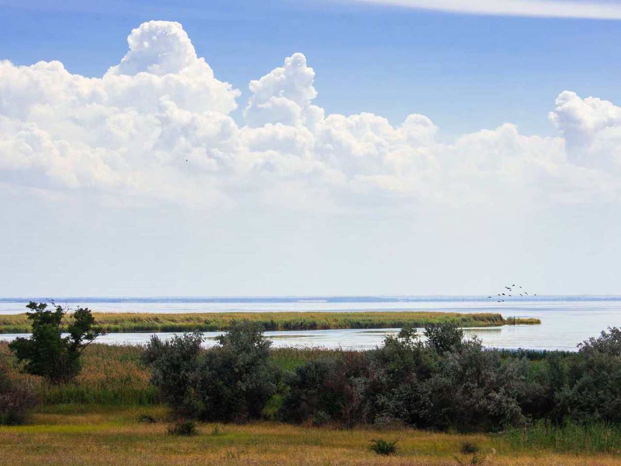
Nikopol district (Nikopolskyi) is located in the southern part of Dnipropetrovsk region, in the historical and ethnographic territory of the Middle Dnipro. From the south, the district is washed by the waters of the Kakhovka Reservoir on the Dnipro River.
During the Cossack times, 5 out of 7 Zaporozhian Sichs were located on these lands in different periods: Tomakivska, Bazavlutska, Mykytynska, Chortomlytska and Nova Sich. Tourist routes are laid out by memorable Cossack places.
The administrative center of Nikopolskyi district is the city of Nikopol. The area of the district is over 3240 square kilometers. The population of the district reaches 262 thousand people.
The Nikopol district consists of 130 settlements, which are united into 8 territorial hromadas: Marhanet ...
Nikopol district (Nikopolskyi) is located in the southern part of Dnipropetrovsk region, in the historical and ethnographic territory of the Middle Dnipro. From the south, the district is washed by the waters of the Kakhovka Reservoir on the Dnipro River.
During the Cossack times, 5 out of 7 Zaporozhian Sichs were located on these lands in different periods: Tomakivska, Bazavlutska, Mykytynska, Chortomlytska and Nova Sich. Tourist routes are laid out by memorable Cossack places.
The administrative center of Nikopolskyi district is the city of Nikopol. The area of the district is over 3240 square kilometers. The population of the district reaches 262 thousand people.
The Nikopol district consists of 130 settlements, which are united into 8 territorial hromadas: Marhanetska, Nikopolska, Pokrovsks city hromadas, Myrivska, Mozolevska, Pokrovska village hromadas, Tomakivska and Chervonohryhorivska settlement territorial hromadas.
Нікопольський район розташований у південній частині Дніпропетровської області, на історико-етнографічній території Середнього Подніпров'я. З півдня район омивається водами Каховського водосховища на річці Дніпро.
За козацьких часів на цих землях у різний період розташовувалося 5 із 7 запорозьких січей: Томаківська, Базавлуцька, Микитинська, Чортомлицька та Нова Січ. Пам'ятними козацькими місцями прокладено туристичні маршрути.
Адміністративним центром Нікопольського району є місто Нікополь. Площа території району становить понад 3240 квадратних кілометрів. Чисельність населення району сягає 262 тисяч осіб.
До складу Нікопольського району входять 130 населених пунктів, які об'єднані у 8 територіальних громад: Марганецька, Нікопольська, Покровська міські, Ми ...
Нікопольський район розташований у південній частині Дніпропетровської області, на історико-етнографічній території Середнього Подніпров'я. З півдня район омивається водами Каховського водосховища на річці Дніпро.
За козацьких часів на цих землях у різний період розташовувалося 5 із 7 запорозьких січей: Томаківська, Базавлуцька, Микитинська, Чортомлицька та Нова Січ. Пам'ятними козацькими місцями прокладено туристичні маршрути.
Адміністративним центром Нікопольського району є місто Нікополь. Площа території району становить понад 3240 квадратних кілометрів. Чисельність населення району сягає 262 тисяч осіб.
До складу Нікопольського району входять 130 населених пунктів, які об'єднані у 8 територіальних громад: Марганецька, Нікопольська, Покровська міські, Мирівська, Мозолевська, Покровська сільська, Томаківська, Червоногригорівська селищні територіальні громади.


