Functional temporarily unavailable
Cities and villages of Polohy district
Online travel guide to the settlements of Polohy district
General information about Polohy district
Polohy district (Polohivskyi) is located in the eastern part of Zaporizhzhia region, on the historical and ethnographic territory of the Middle Dnipro. Within the district there is a part of the Ukrainian steppe nature reserve, the rivers Konka and Haychur flow.
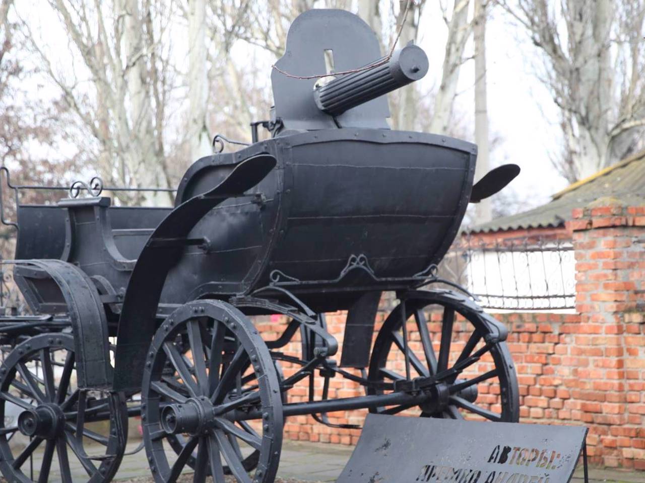
Here are such historical and cultural monuments as Schroeder's Palace in Molochansk, the memorial estate-museum "Khata Makhniv" in Huliaipole, the ethnographic complex "Ukrainian yard of the XIX century." in Tokmak.
The administrative center of Polohivskyi district is the city of Polohy. The area of the district is 6762.5 square kilometers. The population of the district reaches 172 thousand people.
Polohy district includes 240 settlements, which are united in 15 territorial hromadas: To ...
Polohy district (Polohivskyi) is located in the eastern part of Zaporizhzhia region, on the historical and ethnographic territory of the Middle Dnipro. Within the district there is a part of the Ukrainian steppe nature reserve, the rivers Konka and Haychur flow.
Here are such historical and cultural monuments as Schroeder's Palace in Molochansk, the memorial estate-museum "Khata Makhniv" in Huliaipole, the ethnographic complex "Ukrainian yard of the XIX century." in Tokmak.
The administrative center of Polohivskyi district is the city of Polohy. The area of the district is 6762.5 square kilometers. The population of the district reaches 172 thousand people.
Polohy district includes 240 settlements, which are united in 15 territorial hromadas: Tokmatska, Huliaipilska, Orikhivska, Polohivska and Molochanska city hromadas, Bilmatska, Komysh-Zorianska and Rozivska settlement hromadas, Vozdvyzhivska, Malynivska, Smyrnovska, Malotokmachanska, Preobrazhenska, Voskresenska, Fedorivska village territorial hromadas.
Пологівський район розташований у східній частині Запорізької області, на історико-етнографічній території Середнього Подніпров'я. В межах району перебуває частина Українського степового природного заповідника, протікають річки Конка і Гайчур.
Тут розташовані такі історико-культурні пам'ятки, як палац Шредера в Молочанську, меморіальна садиба-музей "Хата Махнів" в Гуляйполі, етнографічний комплекс "Український двір XIX століття" в Токмаку.
Адміністративним центром Пологівського району є місто Пологи. Площа території району становить 6762,5 квадратних кілометра. Чисельність населення району сягає 172 тисяч осіб.
До складу Пологівського району входять 240 населених пунктів, які об'єднані у 15 територіальних громад: Токмацька, Гуляйпільська ...
Пологівський район розташований у східній частині Запорізької області, на історико-етнографічній території Середнього Подніпров'я. В межах району перебуває частина Українського степового природного заповідника, протікають річки Конка і Гайчур.
Тут розташовані такі історико-культурні пам'ятки, як палац Шредера в Молочанську, меморіальна садиба-музей "Хата Махнів" в Гуляйполі, етнографічний комплекс "Український двір XIX століття" в Токмаку.
Адміністративним центром Пологівського району є місто Пологи. Площа території району становить 6762,5 квадратних кілометра. Чисельність населення району сягає 172 тисяч осіб.
До складу Пологівського району входять 240 населених пунктів, які об'єднані у 15 територіальних громад: Токмацька, Гуляйпільська, Оріхівська, Пологівська, Молочанська міські, Більмацька, Комиш-Зорянська, Розівська селищні, Воздвижівська, Малинівська, Смирновська, Малотокмачанська, Преображенська, Воскресенська, Федорівська сільські територіальні громади.


