Functional temporarily unavailable
Cities and villages of Varash district
Online travel guide to the settlements of Varash district
General information about Varash district
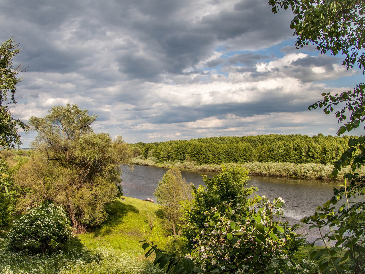
Varash district (Varaskyi) is located in the north-western part of Rivne region, in the historical and ethnographic region of Rivne Polissya. The rivers Styr and Pripyat flow within the district, the western border partly runs along the river Stokhid.
A part of the Pripyat-Stokhid National Nature Park with water labyrinths and sand islands is located on the territory of the district. The largest lakes in the Rivne region, Bile and Nobel, are popular objects of recreational tourism. There is a narrow-gauge railway Antonivka - Zarichne, which is called "Polissya tram" or "Kukushka".
The administrative center of Varaskyi district is the city of power engineers Varash, which serves Rivne NPP. The area of the district is 3327 square kilometers. The population ...
Varash district (Varaskyi) is located in the north-western part of Rivne region, in the historical and ethnographic region of Rivne Polissya. The rivers Styr and Pripyat flow within the district, the western border partly runs along the river Stokhid.
A part of the Pripyat-Stokhid National Nature Park with water labyrinths and sand islands is located on the territory of the district. The largest lakes in the Rivne region, Bile and Nobel, are popular objects of recreational tourism. There is a narrow-gauge railway Antonivka - Zarichne, which is called "Polissya tram" or "Kukushka".
The administrative center of Varaskyi district is the city of power engineers Varash, which serves Rivne NPP. The area of the district is 3327 square kilometers. The population of the district reaches 140 thousand people.
Varash district consists of 183 settlements, which are united into 8 territorial hromadas: Varaska city, Volodymyretska, Zarichnenska and Rafalivska settlement hromadas, Antonivska, Kanonytska, Loknytska and Polytska village territorial hromadas.
Вараський район розташований у північно-західній частині Рівненської області, в історико-етнографічному регіоні Рівненського Полісся. В межах району протікають річки Стир та Прип'ять, західна межа частково проходить по річці Стохід.
На території району розташована частина Національного природного парку "Прип'ять-Стохід" з водними лабіринтами та піщаними островами. Найбільші озера Рівненщини Біле та Нобель є популярними об'єктами рекреаційного туризму. В районі функціонує вузькоколійна залізниця Антонівка- Зарічне, яку називають "Поліський трамвай" або "Кукушка".
Адміністративним центром Вараського району є місто енергетиків Вараш, що обслуговує Рівненську АЕС. Площа території району становить 3327 квадратних кілометрів. Чисельність н ...
Вараський район розташований у північно-західній частині Рівненської області, в історико-етнографічному регіоні Рівненського Полісся. В межах району протікають річки Стир та Прип'ять, західна межа частково проходить по річці Стохід.
На території району розташована частина Національного природного парку "Прип'ять-Стохід" з водними лабіринтами та піщаними островами. Найбільші озера Рівненщини Біле та Нобель є популярними об'єктами рекреаційного туризму. В районі функціонує вузькоколійна залізниця Антонівка- Зарічне, яку називають "Поліський трамвай" або "Кукушка".
Адміністративним центром Вараського району є місто енергетиків Вараш, що обслуговує Рівненську АЕС. Площа території району становить 3327 квадратних кілометрів. Чисельність населення району сягає 140 тисяч осіб.
До складу Вараського району входять 183 населених пункти, які об'єднані у 8 територіальних громад: Вараська міська, Володимирецька, Зарічненська та Рафалівська селищні, Антонівська, Каноницька, Локницька та Полицька сільські територіальні громади.


