Functional temporarily unavailable
Cities and villages of Podilsk district
Online travel guide to the settlements of Podilsk district
General information about Podilsk district
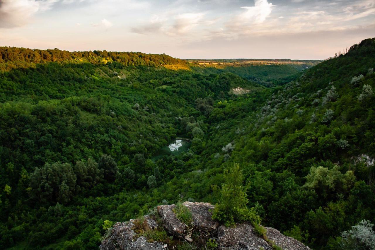
Podilsk district (Podilskyi) is located in the northern part of Odesa region, at the junction of historical and ethnographic territories of Podillya and the Black Sea coast. In the west it borders Moldova. The north-eastern border runs along the Southern Buh River. The rivers Kodyma, Tilihul, Velykyi Kuyalnyk originate within the district.
The cultural and tourist route "Shpakiv Way", which covers 15 settlements of Kodymshchyna, has been laid on the territory of the district.
The administrative center of Podilskyi district is the city of Podilsk. The area of the district is 7064 square kilometers. The population of the district reaches 230 thousand people.
The Podilsk district includes 299 settlements, which are united into 12 territorial hromadas: Ananivska, ...
Podilsk district (Podilskyi) is located in the northern part of Odesa region, at the junction of historical and ethnographic territories of Podillya and the Black Sea coast. In the west it borders Moldova. The north-eastern border runs along the Southern Buh River. The rivers Kodyma, Tilihul, Velykyi Kuyalnyk originate within the district.
The cultural and tourist route "Shpakiv Way", which covers 15 settlements of Kodymshchyna, has been laid on the territory of the district.
The administrative center of Podilskyi district is the city of Podilsk. The area of the district is 7064 square kilometers. The population of the district reaches 230 thousand people.
The Podilsk district includes 299 settlements, which are united into 12 territorial hromadas: Ananivska, Baltska, Kodymska and Podilska city hromadas, Zelenohirska, Liubashivska, Oknianska, Savranska and Slobidska settlement hromadas, Dolynska, Kuialnytska and Pishchanska village territorial hromadas.
Подільський район розташований у північній частині Одеської області, на стику історико-етнографічних територій Поділля та Причорномор'я. На заході межує з Молдовою. Північно-східна межа проходить по річці Південний Буг. У межах району беруть початок річки Кодима, Тилігул, Великий Куяльник.
Територією району прокладено культурно-туристичний маршрут "Шпаків Шлях", що охоплює 15 населених пунктів Кодимщини.
Адміністративним центром Подільського району є місто Подільськ. Площа території району становить 7064 квадратних кілометри. Чисельність населення району сягає 230 тисяч осіб.
До складу Подільського району входять 299 населених пунктів, які об'єднані у 12 територіальних громад: Ананьївська, Балтська, Кодимська, Подільська міські, Зеленогірська, Любашів ...
Подільський район розташований у північній частині Одеської області, на стику історико-етнографічних територій Поділля та Причорномор'я. На заході межує з Молдовою. Північно-східна межа проходить по річці Південний Буг. У межах району беруть початок річки Кодима, Тилігул, Великий Куяльник.
Територією району прокладено культурно-туристичний маршрут "Шпаків Шлях", що охоплює 15 населених пунктів Кодимщини.
Адміністративним центром Подільського району є місто Подільськ. Площа території району становить 7064 квадратних кілометри. Чисельність населення району сягає 230 тисяч осіб.
До складу Подільського району входять 299 населених пунктів, які об'єднані у 12 територіальних громад: Ананьївська, Балтська, Кодимська, Подільська міські, Зеленогірська, Любашівська, Окнянська, Савранська, Слобідська селищні, Долинська, Куяльницька, Піщанська сільські територіальні громади.


