Functional temporarily unavailable
Cities and villages of Sarny district
Online travel guide to the settlements of Sarny district
General information about Sarny district
Sarny district (Sarnenskyi) is located in the northeastern part of Rivne region, in the historical and ethnographic region of Rivne Polissya. The Horyn and Sluch rivers flow within the district.
Large areas are occupied by forests and swamps, protected by the Rivne Nature Reserve. Natural monuments of national importance are the tracts "Netreba", "Yuzefinska dacha", "Velyke Pochaivske ozero", "Ozero Strilske", Klesivsky arboretum.
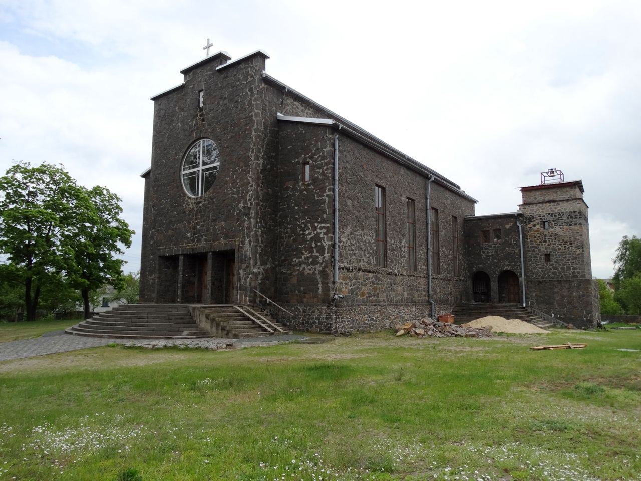
There are such historical and cultural monuments as the Church of John the Baptist in Dubrovytsia and the Church of the Transfiguration in Sarny.
The administrative center of Sarnenskyi district is the city of Sarny. The area of the district is almost 6220 square kilometers. Population district reaches ...
Sarny district (Sarnenskyi) is located in the northeastern part of Rivne region, in the historical and ethnographic region of Rivne Polissya. The Horyn and Sluch rivers flow within the district.
Large areas are occupied by forests and swamps, protected by the Rivne Nature Reserve. Natural monuments of national importance are the tracts "Netreba", "Yuzefinska dacha", "Velyke Pochaivske ozero", "Ozero Strilske", Klesivsky arboretum.
There are such historical and cultural monuments as the Church of John the Baptist in Dubrovytsia and the Church of the Transfiguration in Sarny.
The administrative center of Sarnenskyi district is the city of Sarny. The area of the district is almost 6220 square kilometers. Population district reaches 213 thousand people.
The Sarny district consists of 188 settlements, which are united in 11 territorial hromadas: Dubrovytska and Sarnenska city hromadas, Rokytnivska, Klesivska and Stepanska settlement hromadas, Vysotska, Myliatska, Berezivska, Starosilska, Vyrivska and Nemovytska village territorial hromadas.
Сарненський район розташований у північно-східній частині Рівненської області, в історико-етнографічному регіоні Рівненського Полісся. В межах району протікають річки Горинь та Случ.
Великі площі займають ліси і болота, що оберігаються Рівненським природним заповідником. Пам'ятками природи загальнодержавного значення є урочища "Нетреба", "Юзефінська дача", "Велике Почаївське озеро", "Озеро Стрільське", Клесівський дендропарк.
Тут розташовані такі історико-культурні пам'ятки, як костел Івана Хрестителя в Дубровиці та Преображенський костел у Сарнах.
Адміністративним центром Сарненського району є місто Сарни. Площа території району становить майже 6220 квадратних кілометрів. Чисельність населення району сягає 213 тисяч осіб ...
Сарненський район розташований у північно-східній частині Рівненської області, в історико-етнографічному регіоні Рівненського Полісся. В межах району протікають річки Горинь та Случ.
Великі площі займають ліси і болота, що оберігаються Рівненським природним заповідником. Пам'ятками природи загальнодержавного значення є урочища "Нетреба", "Юзефінська дача", "Велике Почаївське озеро", "Озеро Стрільське", Клесівський дендропарк.
Тут розташовані такі історико-культурні пам'ятки, як костел Івана Хрестителя в Дубровиці та Преображенський костел у Сарнах.
Адміністративним центром Сарненського району є місто Сарни. Площа території району становить майже 6220 квадратних кілометрів. Чисельність населення району сягає 213 тисяч осіб.
До складу Сарненського району входять 188 населених пунктів, які об'єднані у 11 територіальних громад: Дубровицька, Сарненська міські, Рокитнівська, Клесівська, Степанська селищні, Висоцька, Миляцька, Березівська, Старосільська, Вирівська, Немовицька сільські територіальні громади.


