Functional temporarily unavailable
Cities and villages of Mykolaiv district
Online travel guide to the settlements of Mykolaiv district
General information about Mykolaiv district
Mykolaiv district (Mykolaivskyi) is located in the southern part of the Mykolaiv region, on the historical and ethnographic territory of the Black Sea coast. The rivers Southern Buh, Inhul and Berezan flow within the district.
The western border runs along the Tilihul estuary. Its natural marine landscapes are protected by the Tilihul Regional Landscape Park. In addition to the Black Sea resorts, tourism is also actively developing in the protected area of the Kinburn Spit Peninsula, which is separated from the mainland by the Dnipro-Buh estuary. These areas are part of the National Natural Park "White Coast Svyatoslav".
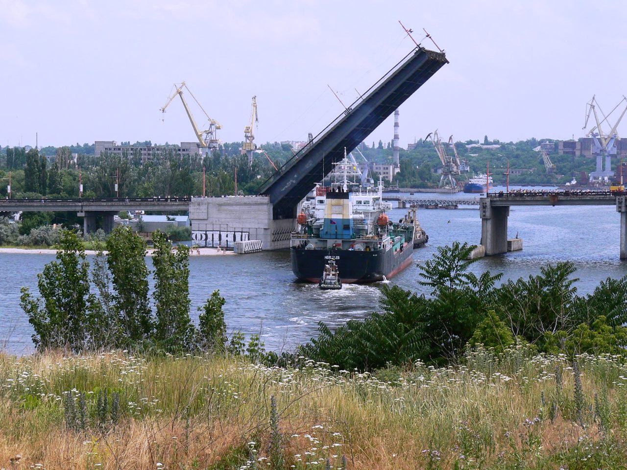
The administrative center of the Mykolaivskyi district is the regional center, port and shipbuilding city of Mykolaiv. The architectural complexes ...
Mykolaiv district (Mykolaivskyi) is located in the southern part of the Mykolaiv region, on the historical and ethnographic territory of the Black Sea coast. The rivers Southern Buh, Inhul and Berezan flow within the district.
The western border runs along the Tilihul estuary. Its natural marine landscapes are protected by the Tilihul Regional Landscape Park. In addition to the Black Sea resorts, tourism is also actively developing in the protected area of the Kinburn Spit Peninsula, which is separated from the mainland by the Dnipro-Buh estuary. These areas are part of the National Natural Park "White Coast Svyatoslav".
The administrative center of the Mykolaivskyi district is the regional center, port and shipbuilding city of Mykolaiv. The architectural complexes of the Admiralty and the Old Fleet Barracks (now the Museum of Local Lore), the house of the Commander-in-Chief of the Black Sea Fleet (now the Museum of Shipbuilding), the Cathedral of Our Lady of Kasper, St. Joseph's Church, St. Nicholas Church, other churches and ancient buildings have been preserved. Mykolaiv Zoological Park is considered to be one of the best in Ukraine.
Also on the territory of the district there are such historical and cultural monuments as the National Historical and Archaeological Reserve "Olbia", the Mykolaiv Cathedral in Ochakiv, the island of Berezan.
The area of the district is 7434 square kilometers. The population of the district reaches 656 thousand people.
Mykolaiv district includes 238 settlements, which are united in 19 territorial hromadas: Mykolaivska, Ochakivska and Novoodeska city hromadas, Berezanska, Voskresenska, Pervomaiska and Olshanska settlement hromadas, Koblivska, Halytsynivska, Mishkovo-Pohorilivska, Shevchenkivska, Vesnianska, Nechaianska, Radsadivska, Stepivska, Kostiantynivska, Sukhoielanetska, Kutsurubska and Chornomorska village territorial hromadas.
Миколаївський район розташований у південній частині Миколаївської області, на історико-етнографічній території Причорномор'я. В межах району протікають річки Південний Буг, Інгул та Березань.
Західна межа проходить по Тилігульському лиману. Його природні морські ландшафти охороняє Тилігульський регіональний ландшафтний парк. Крім причорноморських курортів, туризм активно розвивається також на заповідній території півострова Кінбурнська коса, що відокремлений від континентальної частини району Дніпро-Бузьким лиманом. Ці території входять до складу Національного природного парку "Білобережжя Святослава".
Адміністративним центром Миколаївського району є обласний центр, портове і суднобудівельне місто Миколаїв. Тут збереглися архітектурні комплекси Адміралтейства ...
Миколаївський район розташований у південній частині Миколаївської області, на історико-етнографічній території Причорномор'я. В межах району протікають річки Південний Буг, Інгул та Березань.
Західна межа проходить по Тилігульському лиману. Його природні морські ландшафти охороняє Тилігульський регіональний ландшафтний парк. Крім причорноморських курортів, туризм активно розвивається також на заповідній території півострова Кінбурнська коса, що відокремлений від континентальної частини району Дніпро-Бузьким лиманом. Ці території входять до складу Національного природного парку "Білобережжя Святослава".
Адміністративним центром Миколаївського району є обласний центр, портове і суднобудівельне місто Миколаїв. Тут збереглися архітектурні комплекси Адміралтейства і Старофлотських казарм (нині краєзнавчий музей), будинок Головного командира Чорноморського флоту (нині музей суднобудування), собор Касперівської Божої Матері, костел Святого Йосипа, Миколаївська церква, інші храми та старовинні будівлі. Миколаївський зоологічний парк вважається одним із найкращих в Україні.
Також на території району розташовані такі історико-культурні пам'ятки, як Національний історико-археологічний заповідник "Ольвія", Миколаївський собор в Очакові, острів Березань.
Площа території району становить 7434 квадратних кілометри. Чисельність населення району сягає 656 тисяч осіб.
До складу Миколаївського району входять 238 населених пунктів, які об'єднані у 19 територіальних громад: Миколаївська, Очаківська, Новоодеська міські, Березанська, Воскресенська, Первомайська, Ольшанська селищні, Коблівська, Галицинівська, Мішково-Погорілівська, Шевченківська, Веснянська, Нечаянська, Радсадівська, Степівська, Костянтинівська, Сухоєланецька, Куцурубська, Чорноморська сільські територіальні громади.


