Functional temporarily unavailable
Cities and villages of Kremenets district
Online travel guide to the settlements of Kremenets district
General information about Kremenets district
Kremenets district (Kremenetskyi) is located in the northern part of Ternopil region, at the junction of historical and ethnographic regions of Halicia and Podillya. The Horyn and Ikva rivers flow within the district.
Here lies the ridge of the Halician Tovtry (Medobory), the nature of which in this part is protected by the National Nature Park "Kremenetsky Mountains".
The administrative center of Kremenetskyi district is the city of Kremenets. Here are such historical and cultural monuments as Kremenets Castle, the complex of the Jesuit College with a church, the Epiphany Monastery, the Literary Memorial Museum of Juliusz Słowacki. Kremenets Botanical Garden has the status of a botanical garden of national importance. Vyshnivets Palace, which is part of the Ternop ...
Kremenets district (Kremenetskyi) is located in the northern part of Ternopil region, at the junction of historical and ethnographic regions of Halicia and Podillya. The Horyn and Ikva rivers flow within the district.
Here lies the ridge of the Halician Tovtry (Medobory), the nature of which in this part is protected by the National Nature Park "Kremenetsky Mountains".
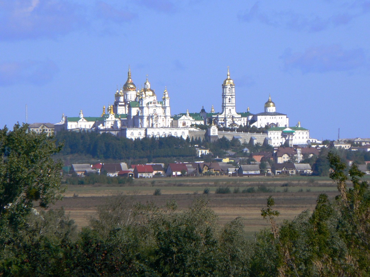
The administrative center of Kremenetskyi district is the city of Kremenets. Here are such historical and cultural monuments as Kremenets Castle, the complex of the Jesuit College with a church, the Epiphany Monastery, the Literary Memorial Museum of Juliusz Słowacki. Kremenets Botanical Garden has the status of a botanical garden of national importance. Vyshnivets Palace, which is part of the Ternopil Castles National Reserve, is also located within the district. The Pochaiv Assumption Lavra is an important spiritual center of western Ukraine.
The area of the district is more than 2635 square kilometers. The population of the district reaches 145 thousand people.
Kremenets district includes 204 settlements, which are united into 8 territorial hromadas: Kremenetska, Lanovetska, Pochaivska and Shumska city hromadas, Vyshnivetska settlement hromada, Borsukivska, Velykodederkalska and Lopushnenska village territorial hromadas.
Кременецький район розташований у північній частині Тернопільської області, на стику історико-етнографічних регіонів Галичини та Поділля. В межах району протікають річки Горинь та Іква.
Тут пролягає гряда Галицьких Товтрів (Медоборів), природу яких у цій частині охороняє Національний природний парк "Кременецькі гори".
Адміністративним центром Кременецького району є місто Кременець. Тут розташовані такі історико-культурні пам'ятки, як Кременецький замок, комплекс Колегіуму єзуїтів з костелом, Богоявленський монастир, Літературно-меморіальний музей Юліуша Словацького. Кременецький ботанічний сад має статус ботсаду загальнодержавного значення. також у межах району знаходиться Вишнівецький палац, що є частиною Національного заповідника "Замки Тернопілля". ...
Кременецький район розташований у північній частині Тернопільської області, на стику історико-етнографічних регіонів Галичини та Поділля. В межах району протікають річки Горинь та Іква.
Тут пролягає гряда Галицьких Товтрів (Медоборів), природу яких у цій частині охороняє Національний природний парк "Кременецькі гори".
Адміністративним центром Кременецького району є місто Кременець. Тут розташовані такі історико-культурні пам'ятки, як Кременецький замок, комплекс Колегіуму єзуїтів з костелом, Богоявленський монастир, Літературно-меморіальний музей Юліуша Словацького. Кременецький ботанічний сад має статус ботсаду загальнодержавного значення. також у межах району знаходиться Вишнівецький палац, що є частиною Національного заповідника "Замки Тернопілля". Важливим духовним центром західної України є Почаївська Успенська лавра.
Площа території району становить понад 2635 квадратних кілометрів. Чисельність населення району сягає 145 тисяч осіб.
До складу Кременецького району входять 204 населені пункти, які об'єднані у 8 територіальних громад: Кременецьку, Лановецьку, Почаївську та Шумську міські, Вишнівецьку селищну, Борсуківську, Великодедеркальську та Лопушненську сільські територіальні громади.


