Functional temporarily unavailable
Cities and villages of Dovzhansk district
Online travel guide to the settlements of Dovzhansk district
General information about Dovzhansk district
Dovzhansk district (Dovzhanskyi) is located in the south-eastern part of Luhansk region, on the historical and ethnographic territory of Slobozhanshchyna. It borders Russia to the east. Located in the temporarily occupied territory of ORDLO.
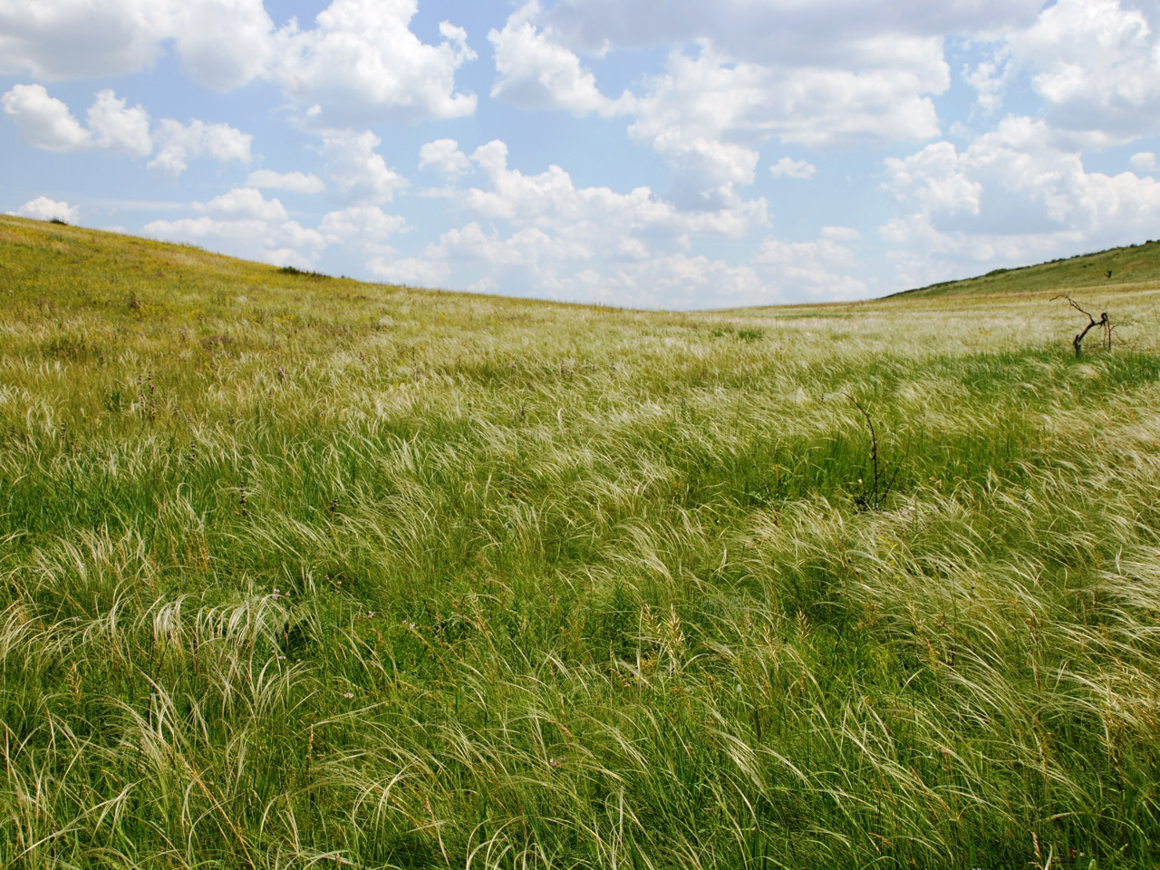
The Velyka Kamyanka River flows within the district, the Kundryucha River originates. Here is a branch of the Luhansk Nature Reserve - Provalsky Steppe.
The administrative center of Dovzhanskyi district is the city of Dovzhansk. The area of the district is 2139 square kilometers. The population of the district reaches 208 thousand people.
Dovzhansky district includes 97 settlements, which are united into 2 territorial hromadas: Dovzhanska and Sorokynska city territorial hromadas.
Довжанський район розташований у південно-східній частині Луганської області, на історико-етнографічній території Слобожанщини. Зі сходу межує з Росією. Перебуває на тимчасово окупованій території ОРДЛО.
В межах району протікає річка Велика Кам'янка, бере початок річка Кундрюча. Тут розташоване відділення Луганського природного заповіднику - Провальський степ.
Адміністративним центром Довжанського району є місто Довжанськ. Площа території району становить 2139 квадратних кілометрів. Чисельність населення району сягає 208 тисяч осіб.
До складу Довжанського району входять 97 населених пунктів, які об'єднані у 2 територіальні громади: Довжанська та Сорокинська міські територіальні громади.


