Functional temporarily unavailable
Cities and villages of Bakhmut district
Online travel guide to the settlements of Bakhmut district
General information about Bakhmut district
Bakhmut district (Bakhmutskyi) is located in the northeastern part of Donetsk region, in the historical and ethnographic territory of Slobozhanshchina. The river Bakhmutka (Bakhmut) flows within the district.
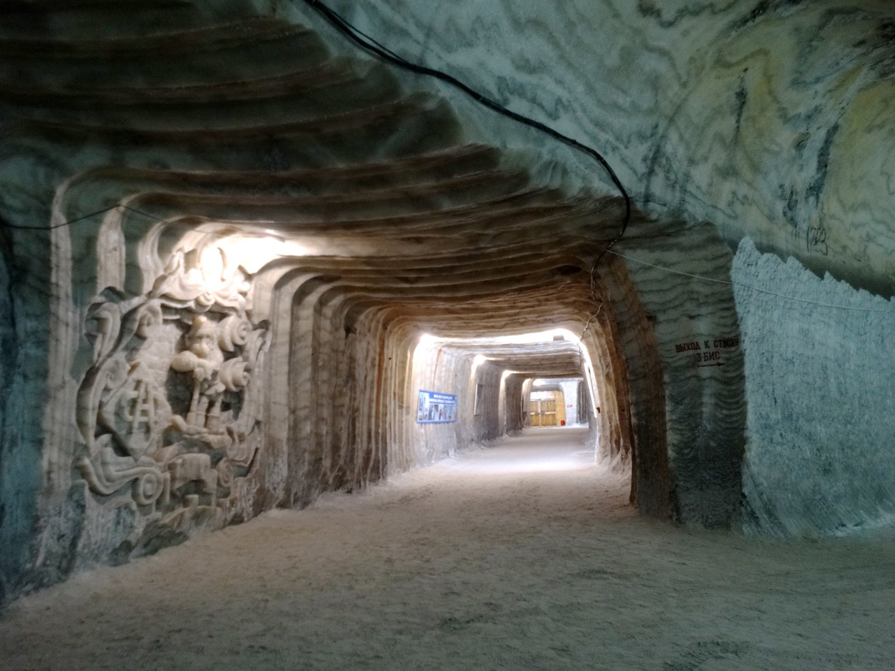
Bakhmut region is a center of salt production and winemaking. Here are the salt mines of the state enterprise "Artemsil" and the underground storages of the sparkling wine factory "Artvineyri", which are the main locations of the tourist route "The path marked by salt".
The administrative center of Bakhmutskyi district is the city of Bakhmut. The area of the district is almost 1750 square kilometers. The population of the district exceeds 210 thousand people.
Bakhmut district consists of 111 settlements, which are united into 7 territ ...
Bakhmut district (Bakhmutskyi) is located in the northeastern part of Donetsk region, in the historical and ethnographic territory of Slobozhanshchina. The river Bakhmutka (Bakhmut) flows within the district.
Bakhmut region is a center of salt production and winemaking. Here are the salt mines of the state enterprise "Artemsil" and the underground storages of the sparkling wine factory "Artvineyri", which are the main locations of the tourist route "The path marked by salt".
The administrative center of Bakhmutskyi district is the city of Bakhmut. The area of the district is almost 1750 square kilometers. The population of the district exceeds 210 thousand people.
Bakhmut district consists of 111 settlements, which are united into 7 territorial hromadas: Bakhmutska, Svitlodarska, Siverska, Soledarska, Toretska, Chasovoiarska city hromadas and Zvanivska village territorial hromadas.
Бахмутський район розташований у північно-східній частині Донецької області, на історико-етнографічній території Слобожанщини. В межах району протікає річка Бахмутка (Бахмут).
Бахмутщина є центром соледобування та виноробства. Тут розташовані соляні шахти державного підприємства "Артемсіль" та підземні сховища заводу ігристих вин "Артвайнері", що є основними локаціями туристичного маршруту "Шлях, позначений сіллю".
Адміністративним центром Бахмутського району є місто Бахмут. Площа території району становить майже 1750 квадратних кілометрів. Чисельність населення району перевищує 210 тисяч осіб.
До складу Бахмутського району входять 111 населених пунктів, які об'єднані у 7 територіальних громад: Бахмутська, Світлодарська, Сіверська, Сол ...
Бахмутський район розташований у північно-східній частині Донецької області, на історико-етнографічній території Слобожанщини. В межах району протікає річка Бахмутка (Бахмут).
Бахмутщина є центром соледобування та виноробства. Тут розташовані соляні шахти державного підприємства "Артемсіль" та підземні сховища заводу ігристих вин "Артвайнері", що є основними локаціями туристичного маршруту "Шлях, позначений сіллю".
Адміністративним центром Бахмутського району є місто Бахмут. Площа території району становить майже 1750 квадратних кілометрів. Чисельність населення району перевищує 210 тисяч осіб.
До складу Бахмутського району входять 111 населених пунктів, які об'єднані у 7 територіальних громад: Бахмутська, Світлодарська, Сіверська, Соледарська, Торецька, Часовоярська міські та Званівська сільська територіальні громади.


