Functional temporarily unavailable
General information about Berestyn
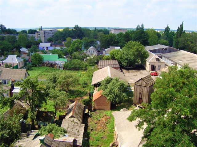
The city of Berestyn is located on the right bank of the Berestova River, on the M-18 (E105) highway between Kharkiv and Dnipro.
It was founded in 1731 as the Beliv Fortress of the Ukrainian Defense Line (ramparts have been preserved). The line of fortifications ran from the Dnipro to the Siverskyi Donets. Soon after its foundation, the Byelovska fortress became the main fortress of the Ukrainian line and the administrative center of the entire district. In 1784, the fortress was renamed Kostyantynohrad, in 1797 it received the status of a city.
In 1922, the city was renamed Krasnohrad by the Soviet authorities. In 2024, in accordance with the requirements of the law of Ukraine "On condemnation and prohibition of propaganda of Russian imperial policy in Ukraine and deco ...
The city of Berestyn is located on the right bank of the Berestova River, on the M-18 (E105) highway between Kharkiv and Dnipro.
It was founded in 1731 as the Beliv Fortress of the Ukrainian Defense Line (ramparts have been preserved). The line of fortifications ran from the Dnipro to the Siverskyi Donets. Soon after its foundation, the Byelovska fortress became the main fortress of the Ukrainian line and the administrative center of the entire district. In 1784, the fortress was renamed Kostyantynohrad, in 1797 it received the status of a city.
In 1922, the city was renamed Krasnohrad by the Soviet authorities. In 2024, in accordance with the requirements of the law of Ukraine "On condemnation and prohibition of propaganda of Russian imperial policy in Ukraine and decolonization of toponymy", the city of Krasnohrad received a new name - Berestyn.
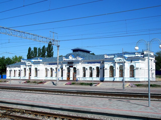
Now the city of Berestyn is a significant industrial center and transport hub.
Місто Берестин розташоване на правому березі річки Берестова, на трасі М-18 (Е105) між Харковом і Дніпром.
Засноване в 1731 році як Бєльовська фортеця Української оборонної лінії (збереглися вали). Лінія укріплень проходила від Дніпра до Сіверського Донця. Невдовзі після заснування Белівська фортеця (Белівська, Більовська) стала головною фортецею Української лінії й адміністративним центром всього району. В 1784 році фортеця була перейменована на Костянтиноград, в 1797 році отримала статус міста.
В 1922 році місто було перейменоване радянською владою на Красноград. В 2024 році відповідно до вимог закону України "Про засудження та заборону пропаганди російської імперської політики в Україні і деколонізацію топонімії" місто Красноград отримало нову назву - Бере ...
Місто Берестин розташоване на правому березі річки Берестова, на трасі М-18 (Е105) між Харковом і Дніпром.
Засноване в 1731 році як Бєльовська фортеця Української оборонної лінії (збереглися вали). Лінія укріплень проходила від Дніпра до Сіверського Донця. Невдовзі після заснування Белівська фортеця (Белівська, Більовська) стала головною фортецею Української лінії й адміністративним центром всього району. В 1784 році фортеця була перейменована на Костянтиноград, в 1797 році отримала статус міста.
В 1922 році місто було перейменоване радянською владою на Красноград. В 2024 році відповідно до вимог закону України "Про засудження та заборону пропаганди російської імперської політики в Україні і деколонізацію топонімії" місто Красноград отримало нову назву - Берестин.
Зараз місто Берестин - це значний промисловий центр і транспортний вузол.
Сплануй своє перебування у Berestyn
What to see and where to go in Berestyn
Tourist attractions and museums of Berestyn
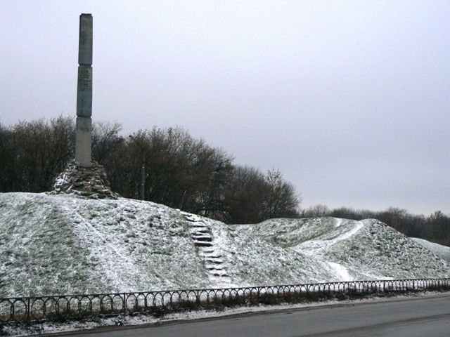
Byelovska Fortress
Castle / fortress
Byelovska fortress (Bielovska) in present-day Berestyn is the central fortification of the Ukrainian defense line.
A chain of fortifications between the Dnipro and Siverskyi Donets to protect the southern borders of the Russian Empire from the attacks of the Crimean Tatars was created in 1731-1733. The line played the role of a dividing line between the free lands of Zaporizhzhia Sich and Hetman Ukraine under the control of the Russian tsars. The author of the project of 16 fortresses of the Ukrainian Defense Line was General Weissbach.
The Byelovska fortress on the banks of the Berestova River was named after the garrison stationed in it - the Byelovsky infantry regiment. There was also the administration of the fortresses, which soon turned into the administrative center of the entire district.
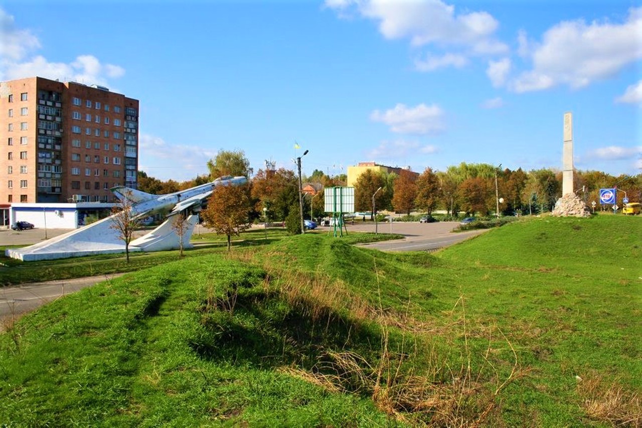
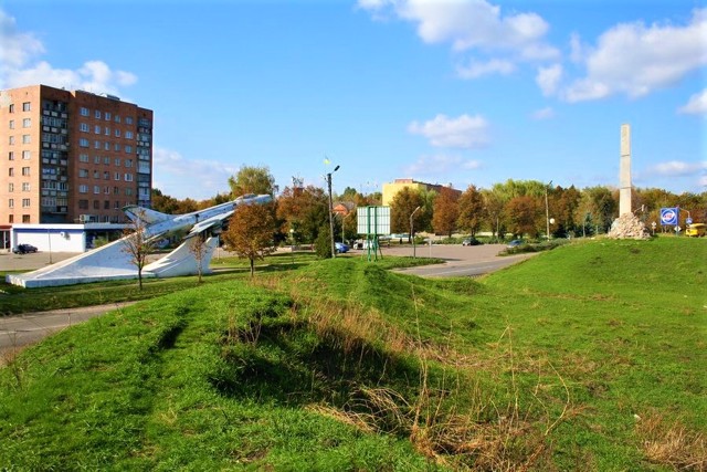
Two northern bastions, a rampart and a moat are partially preserved. A memorial sign has been installed on the northwestern bastion.
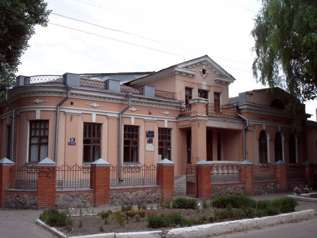
Local Lore Museum named after Porfyriy Martynovych
Museum / gallery
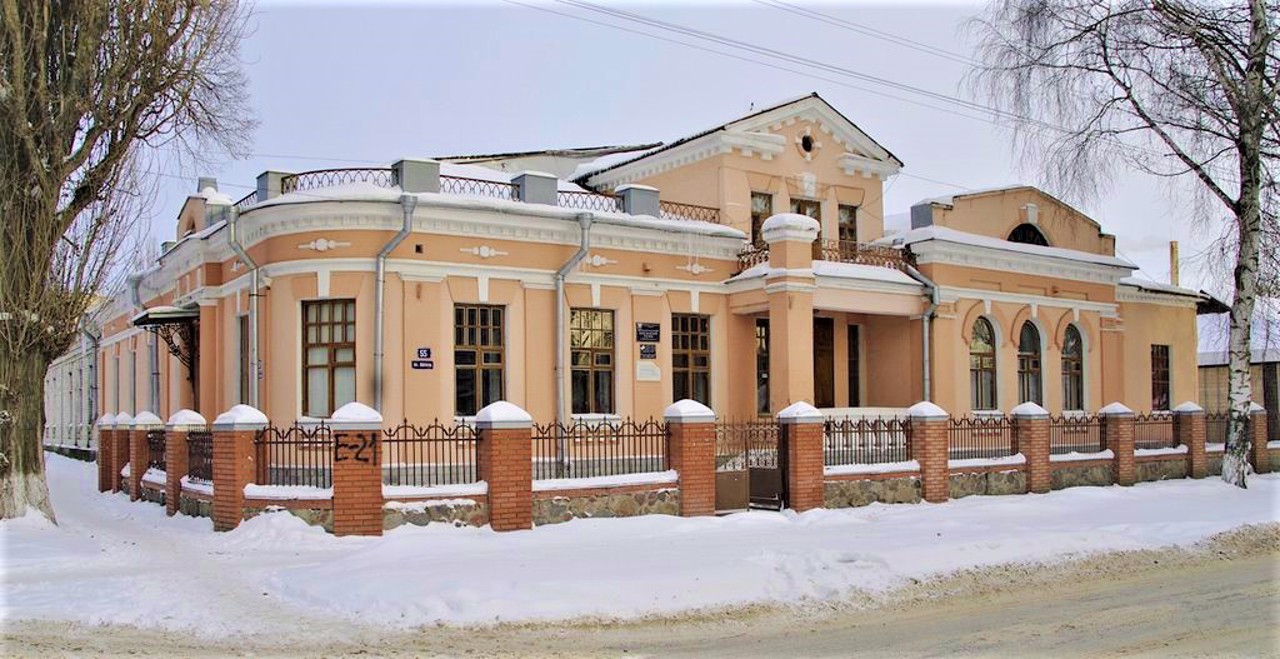
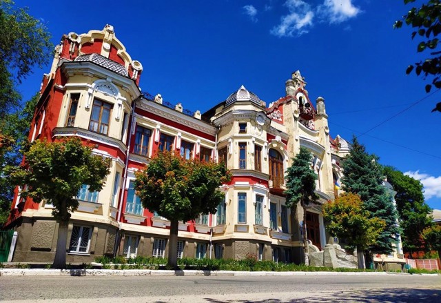
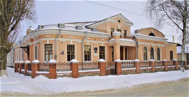
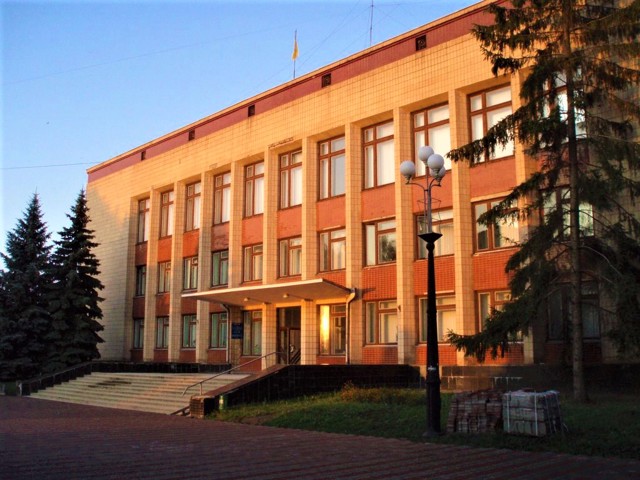
Berestyn Museum of Local History named after Porfiry Martynovych is located in a historical building in the city center.
It bears the name of the founder - Ukrainian painter, folklorist, ethnographer Porfiry Martynovych.
Museum funds include 24,000 exhibits. In particular, the exposition tells about the construction of the Ukrainian fortified line and the Byelovska fortress, which started the history of Berestyn.
In the section devoted to the history of the gas industry of Ukraine, a model of a drilling tower, documents and photographs of drill rigs, rock samples are presented.
Reviews Berestyn
Geographical information about Berestyn
| {{itemKey}} | {{itemValue}} |
|---|---|
| Region |
Kharkiv |
