Functional temporarily unavailable
General information about Radensk
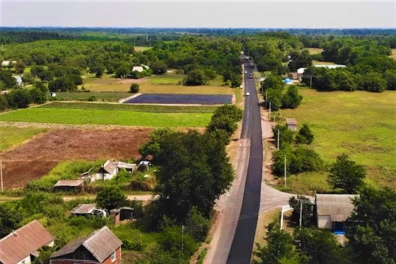
The village of Radensk is located on the highway M-17 "Kherson - Simferopol" near the city of Oleshky.
It was founded by Zaporizhzhia Cossacks, the first information dates back to 1796.
Now it is a large center of trade in Kherson vegetables.
One of the most convenient routes to Oleshky sands begins from here.
Село Раденськ розташоване на трасі М-17 "Херсон - Сімферополь" поруч з містом Олешки.
Засноване запорозькими козаками, перші відомості відносяться до 1796 року.
Зараз це великий центр торгівлі херсонськими овочами.
Звідси починається один з найбільш зручних маршрутів в Олешківські піски.
Сплануй своє перебування у Radensk
What to see and where to go in Radensk
Tourist attractions and museums of Radensk
Oleshky Sands
Natural object
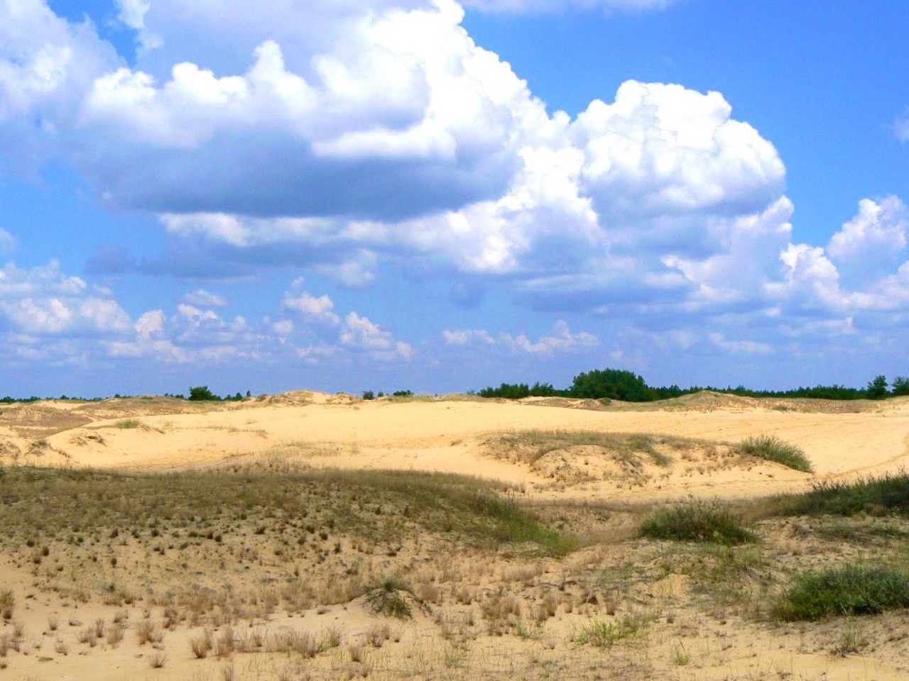
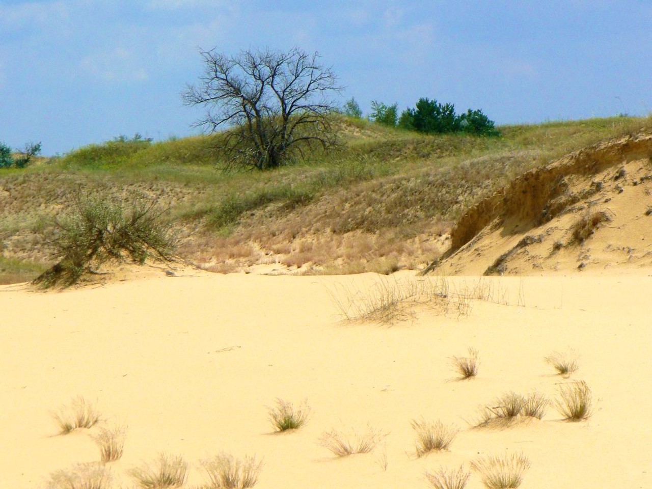
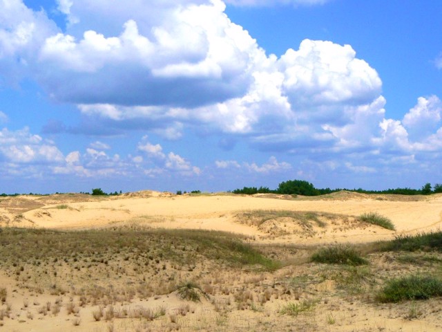
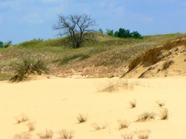
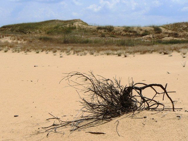
The Oleshky sands are the largest sand massif in Europe, which is sometimes incorrectly called the largest European desert.
The sand arena, about 15 kilometers in diameter (161,000 hectares), consists of barkhans (kuchuguri) about 5 meters high, covered with rare vegetation. The name Oleshky sands comes from the nearby town of Oleshky.
Semi-deserts were formed in the lower reaches of the Dnipro in the 18th and 19th centuries as a result of massive uncontrolled livestock grazing, which destroyed the vegetation that bound the sands, and also as a result of almost complete deforestation. All this time, sand consolidation works were carried out. Currently, the spread of the desert has been stopped with the help of large areas of pine forest around the entire perimeter.
In Soviet times, the Oleshky sands were used as a military airfield for bombing. Due to the fact that many unexploded ammunition remained in the sands, formally the access of civilians to the territory was prohibited, but practically there were no obstacles to visiting until recently. In 2010, the Oleshky Sands National Park was created here.
Near the village of Chelburda, there is a convenient viewing platform, the coordinates of which are given below.
Since 2016, the Oleshky sands have again been used as a military training ground, access to the territory is closed.
Radensk on photo and video
Reviews Radensk
Geographical information about Radensk
| {{itemKey}} | {{itemValue}} |
|---|---|
| Region |
Kherson |
