Functional temporarily unavailable
Mykhailivka
Travel guide online Mykhailivka
General information about Mykhailivka
The village of Mykhailivka is located 15 kilometers south of Dunaivtsi, next to highway N-03 "Khmelnytskyi - Chernivtsi".
Known as the Svystivka since the 17th century, when these lands belonged to the Volodiyevskyi magnates. In 1720, the tycoon Mikhal Makovetskyi renamed the village Mykhailivka and began the construction of a defensive castle, which his descendants transformed into a neo-Gothic palace in the 19th century. During the Soviet-Ukrainian war, most of the palace and park buildings were destroyed, but some elements were preserved.
Mykhailivka Park is recognized as a national monument of garden and park art.
Село Михайлівка розташоване в 15 кілометрах на південь від Дунаївців, поруч з трасою Н-03 "Хмельницький - Чернівці".
Відоме як Свистівка з XVII сторіччя, коли ці землі належали магнатам Володієвським. В 1720 році магнат Міхал Маковецький перейменував село на Михайлівку та почав будівництво оборонного замку, який його нащадки в ХІХ столітті перетворили його на неоготичний палац. Під час радянсько-української війни більшість палацово-паркових споруд були зруйновані, але окремі елементи збереглися.
Михайлівський парк визнано загальнодержавною пам'яткою садово-паркового мистецтва.
Сплануй своє перебування у Mykhailivka
What to see and where to go in Mykhailivka
Tourist attractions and museums of Mykhailivka
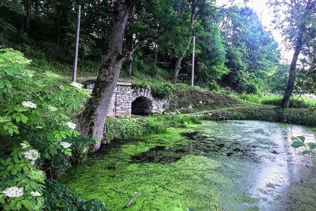
Mykhaylivsky Park
Park / garden
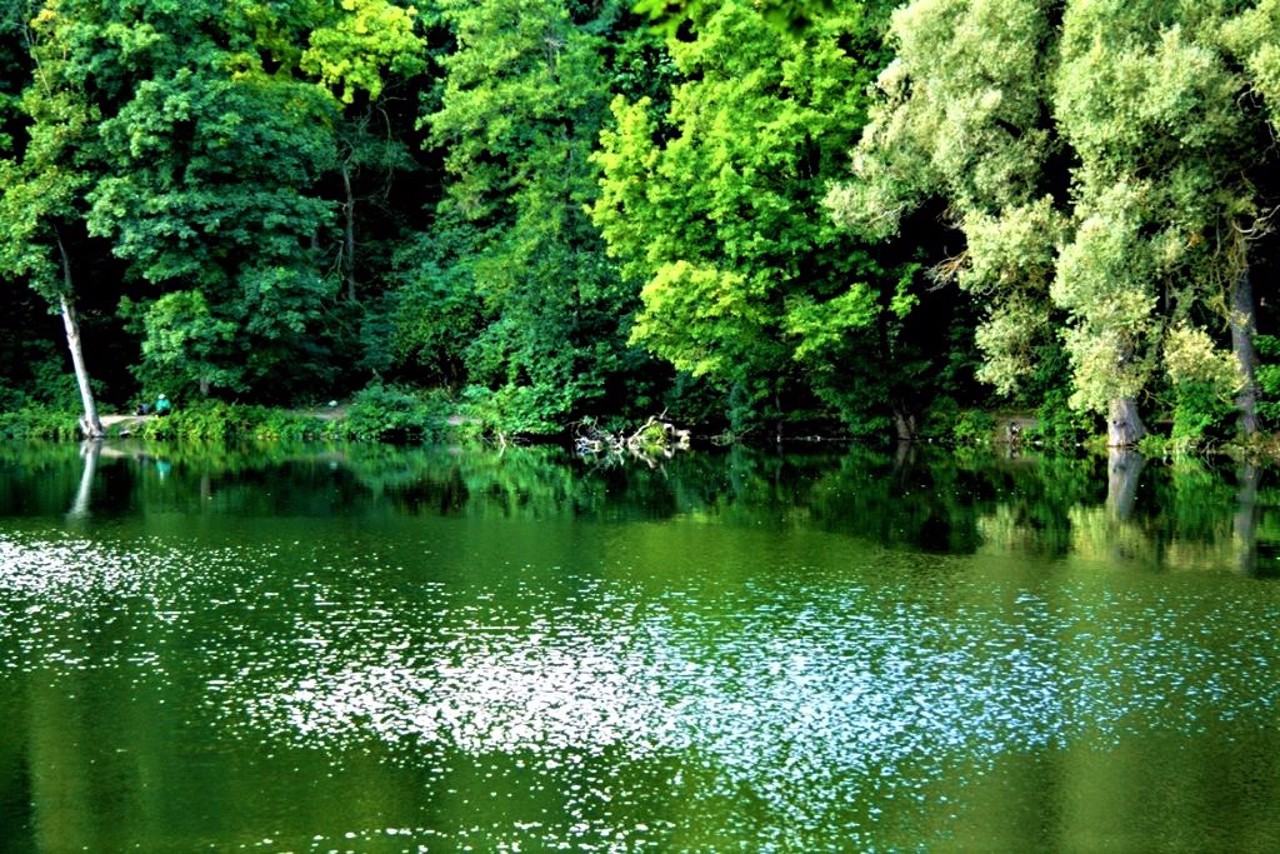
Mykhaylivsky Park is a park-monument of garden and park art of national significance. The total area of the park is 15 hectares.
In 1720, Mykhaylo Makovetsky began the construction of a defensive castle in Svystivka, which he renamed Mykhailivka. In 1848, his son Stefan-Frantsishek developed a project for the development of the fortification. So the old garden was transformed into a landscape park.
The next owner of the estate (Stefan-Leon) completed the reconstruction of the castle into a neo-Gothic palace and the arrangement of the park. Among other things, banana yuccas grew here. Research was conducted in the field of breeding and acclimatization. At the beginning of the 20th century, visitors could buy seedlings of rare trees, shrubs and flowers. Pedestrian paths were laid and park sculptures were installed. An openwork bridge led guests from the park to the island.
During the Soviet-Ukrainian war, most of the buildings were destroyed. Only separate elements of the grotto on the lake and the foundation of the stables of the Makovetsky manor have been preserved.
In the 1920s, the park was transferred to the Kamyanets-Podilskyi Agricultural Institute. Professor Oleksiy Lypa noted the collection of woody plants, which includes about 250 taxa.
Mykhailivka on photo and video
Reviews Mykhailivka
Geographical information about Mykhailivka
| {{itemKey}} | {{itemValue}} |
|---|---|
| Region |
Khmelnytskyi |
