Functional temporarily unavailable
General information about Makiv
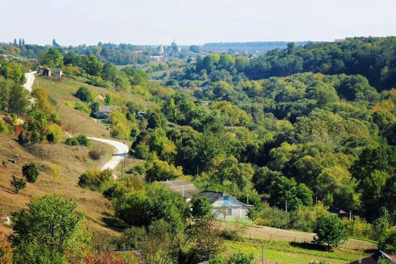
The village of Makiv is located 18 kilometers north of Kamyanets-Podilskyi, on the Khmelnytskyi-Chernivtsi highway.
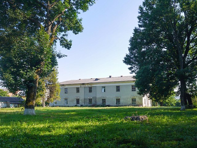
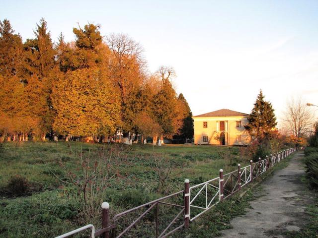
In the 19th century, the village of Makiv belonged to the Ratsyborovsky counts. The wing of the palace has been preserved, as well as the rotunda church of John the Baptist (1839-1862).
There is a source of mineral waters such as "Naftusia" and "Myrhorodska", and there is a balneological sanatorium "Ukraine".
Село Маків розташоване в 18 кілометрах на північ від Кам'янця-Подільського, на трасі Хмельницький-Чернівці.
У XIX столітті село Маків належало графам Рациборовським. Зберігся флігель палацу, а також церква-ротонда Іоанна Богослова (1839-1862 роки).
Тут знаходиться джерело мінеральних вод типу "Нафтуся" та "Миргородська", працює бальнеологічний санаторій "Україна".
Сплануй своє перебування у Makiv
What to see and where to go in Makiv
Tourist attractions and museums of Makiv
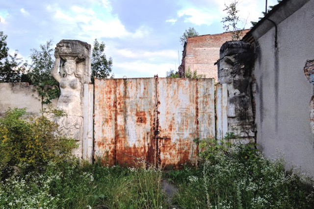
Gate with Caryatids
Architecture
One of the sights of Makiv is the Sugar Factory, built under Alfred Zhurovsky in the 19th century. In addition to the production premises, the owner arranged all the necessary infrastructure, including houses for workers and the director of the factory, a bathhouse, stables, bridges.
During the Soviet period, the object changed its appearance many times, although it continued to perform its original functions. The equipment of that time was disposed of by the new owners of the plant in 2012. Some ancient industrial buildings have survived to our time.
At the moment, special attention is drawn to the entrance to the territory of the Makiv sugar factory, which has preserved the unusual decor of the Victorian era in the form of a gate with caryatids.
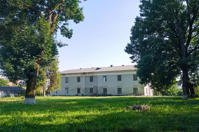
Ratsyborovsky Estate
Palace / manor
The palace and park complex in Makiv was built in the second half of the 18th century, after the estate passed from the Makovetsky magnates to Count Yuzef Ratsyborovsky.
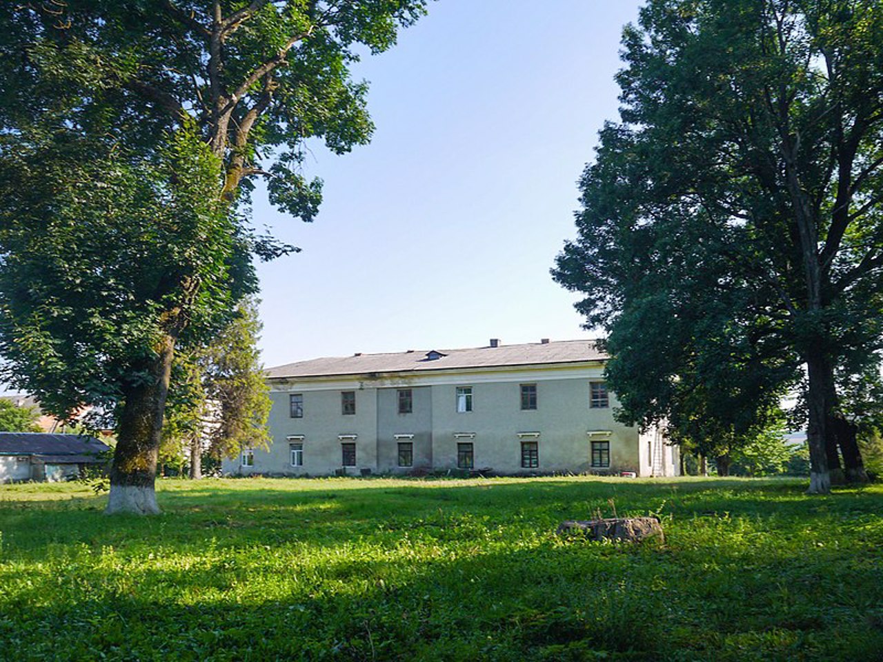
His grandsons, brothers Adam and Yan Ratsyborovsky, built a complex of manor buildings in the classic and neo-Gothic forms that were fashionable at the time by the beginning of the 19th century. The palace was located next to the wing, and opposite it, on the site of the current kindergarten, there was a tower and a forge. To the west of the wing there were farm buildings and a Gothic steeple.
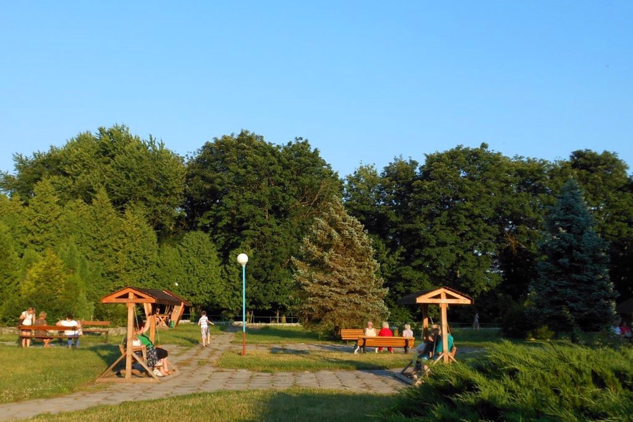
In 1830, Yan and Adam invited the famous park architect Dionisiy Mikler to their estate to arrange the park. The green areas covered an area of 75 hectares. There were several pavilions in the park. Palm trees, exotic flowers and fruits were grown in the greenhouse.
In 1908, Alfred Zhurovsky became the new owner of the estate, reconstructing the residence, which had already begun to decline. The palace was expanded, a new wing with a square tower was completed, a frieze with plant motifs, colonnades, cartouches with the "Leliva" and "Revych" family coats of arms appeared.
After the Bolshevik coup of 1917, the peasants of Makiv together with the soldiers of the Kamchatka Regiment destroyed the manor house, and later burned the palace. Only the wing and one of the park pavilions have survived.
Currently, there is a local school on the territory of the former palace and park complex in Makiv.
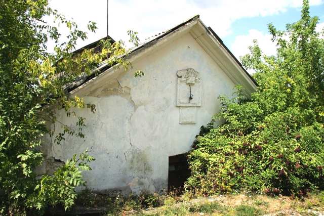
Water Mill
Architecture
The water mill on the Shatavka River in Makiv is an architectural monument of local importance. It was built in 1846, during the period of ownership of the village by the Ratsyborovskys. The Shatavka River, which gave its name to the neighboring village, once provided the work of local enterprises.
In 1966, the mill was rebuilt after a fire. An ancient bas-relief in the form of an animal's head has been preserved, which decorates a stone tablet indicating the date of construction of the mill.
Makiv on photo and video
Reviews Makiv
Geographical information about Makiv
| {{itemKey}} | {{itemValue}} |
|---|---|
| Region |
Khmelnytskyi |
