Functional temporarily unavailable
Sokilets
Travel guide online Sokilets
General information about Sokilets
The village of Sokilets on the Ushytsia River is located 20 kilometers southeast of Dunaivtsi.
It was mentioned for the first time in 1565, but archaeological finds testify to the existence of the settlement in the time of the princes (fortification and barrow cemetery of the 12th-13th centuries have been preserved). The settlement was revived during the time of the Lithuanian principality. In the 16th century, Sokilets had the status of a small town and belonged to the Zakrevski family.
In the 17th century, Stanislav "Reveri" Potoski's estate "Sokoline Hnizdo" was located here. In 1723, Stephan Humetskyi built the Church of the Mother of God. The remains of defensive structures ...
The village of Sokilets on the Ushytsia River is located 20 kilometers southeast of Dunaivtsi.
It was mentioned for the first time in 1565, but archaeological finds testify to the existence of the settlement in the time of the princes (fortification and barrow cemetery of the 12th-13th centuries have been preserved). The settlement was revived during the time of the Lithuanian principality. In the 16th century, Sokilets had the status of a small town and belonged to the Zakrevski family.
In the 17th century, Stanislav "Reveri" Potoski's estate "Sokoline Hnizdo" was located here. In 1723, Stephan Humetskyi built the Church of the Mother of God. The remains of defensive structures date back to the same time. The Orthodox Church of the Intercession was built in 1840.
During the construction of the Dniester HPP in 1973, the village was included in the list of settlements subject to flooding. Local residents were urgently relocated to the heights of the Ushytsky Canyon. However, the level of rising water turned out to be significantly lower than the erroneous calculation of the engineers. Thus, the historical part of the village was preserved.
Село Сокілець на річці Ушиця розташоване в 20 кілометрах на південний схід від Дунаївців.
Вперше згадується в 1565 році, проте археологічні знахідки свідчать про існування поселення в княжу добу (збереглося городище та курганний могильник ХІІ-ХІІІ століть). Поселення відродилося за часів Литовського князівства. В XVI сторіччі Сокілець мав статус містечка, належав роду Закревських.
В XVII столітті тут розташовувалася садиба "Соколине гніздо" Станіслава "Ревери" Потоцького. В 1723 році Стефан Гумецький побудував костел Богородиці. До тих же часів відносяться залишки оборонних споруд. Православна Покровська церква була збудована в 1840 році.
При спорудженні Дністровської ГЕС в 197 ...
Село Сокілець на річці Ушиця розташоване в 20 кілометрах на південний схід від Дунаївців.
Вперше згадується в 1565 році, проте археологічні знахідки свідчать про існування поселення в княжу добу (збереглося городище та курганний могильник ХІІ-ХІІІ століть). Поселення відродилося за часів Литовського князівства. В XVI сторіччі Сокілець мав статус містечка, належав роду Закревських.
В XVII столітті тут розташовувалася садиба "Соколине гніздо" Станіслава "Ревери" Потоцького. В 1723 році Стефан Гумецький побудував костел Богородиці. До тих же часів відносяться залишки оборонних споруд. Православна Покровська церква була збудована в 1840 році.
При спорудженні Дністровської ГЕС в 1973 році село потрапило в перелік населених пунктів, які підлягали затопленню. Місцевих жителів в терміновому порядку переселили на височину Ушицького каньйону. Однак рівень підйому вод виявився істотно нижче помилкового розрахунку інженерів. Таким чином історична частина села збереглася.
Сплануй своє перебування у Sokilets
What to see and where to go in Sokilets
Tourist attractions and museums of Sokilets
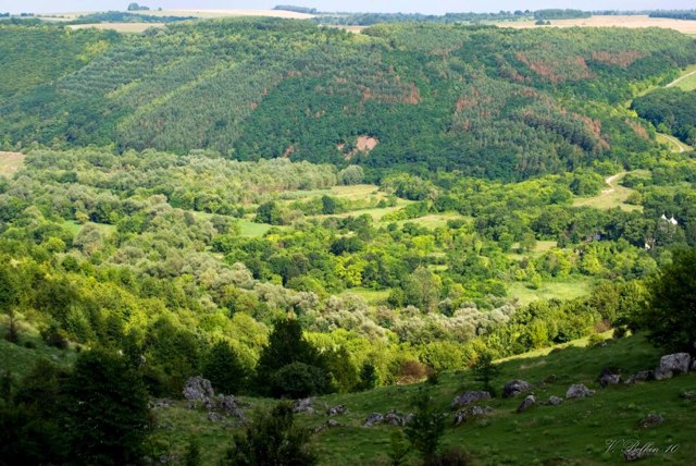
Abandoned Village
Historic area
On the site of the ancient Podillya village of Sokilets, there were two ancient Rus fortresses back in the 13th century.
In 1973, the village was included in the list of settlements that were subject to flooding in connection with the commissioning of the Dniester HPP. This is exactly what happened to the villages of Bakota, Kalyus and others. Local residents were urgently relocated to the heights of the Ushytsky Canyon. However, the level of rising water turned out to be significantly lower than the erroneous calculation of engineers. In this way, it was possible to preserve the historical part of the village.
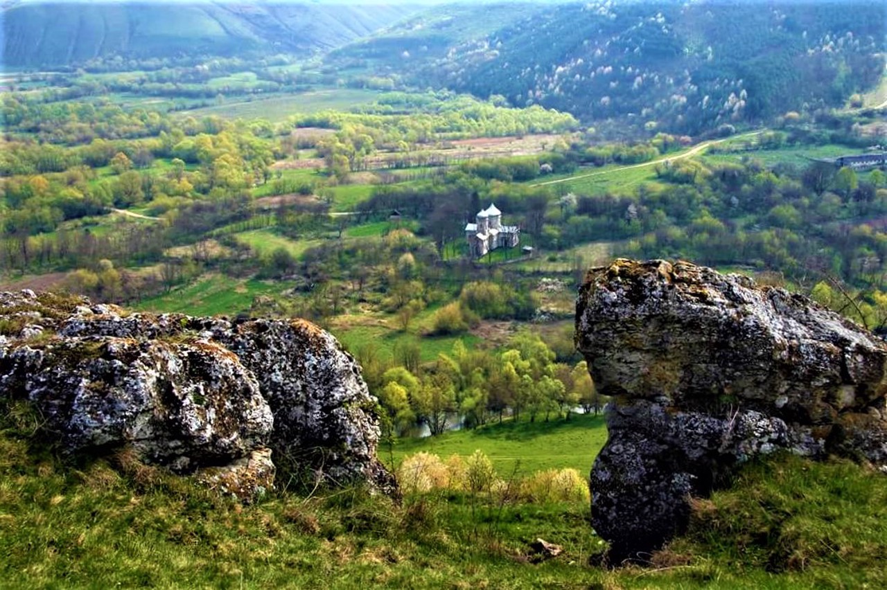
Among the ruins are the remains of the Church of the Nativity of the Virgin (1723), the remains of an ancient cave monastery, a part of the ancient defensive wall of the 18th century, a settlement of the 12th-13th centuries, an old village cemetery, a burial mound of the 12th-13th centuries, and the only active object - the Orthodox Church of the Intercession of the Holy Mother of God (1840).
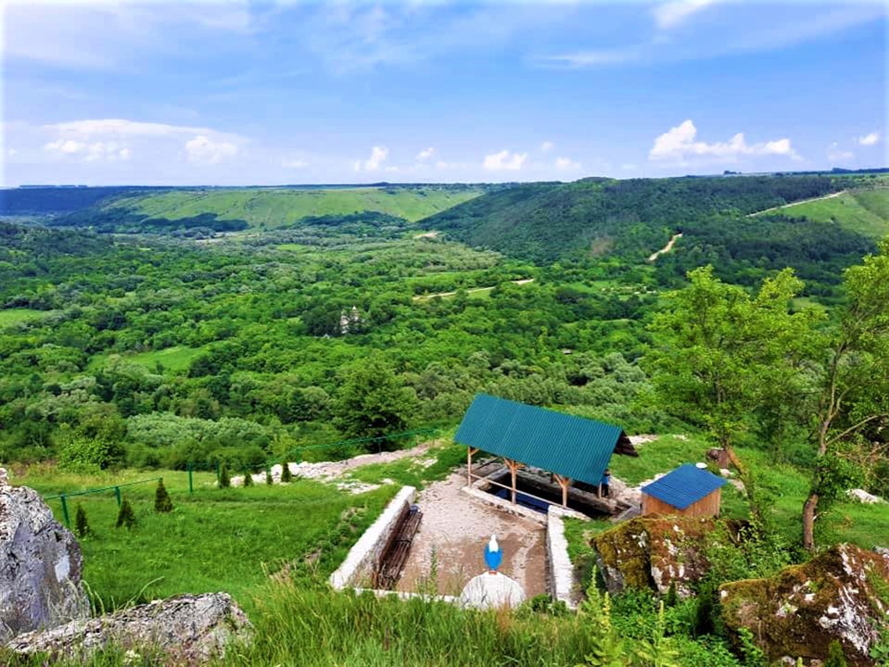
From the territory of modern Sokilets, a wonderful view of the abandoned valley of the village opens.
Reviews Sokilets
Geographical information about Sokilets
| {{itemKey}} | {{itemValue}} |
|---|---|
| Region |
Khmelnytskyi |
