Functional temporarily unavailable
Zavallia
Travel guide online Zavallia
General information about Zavallia
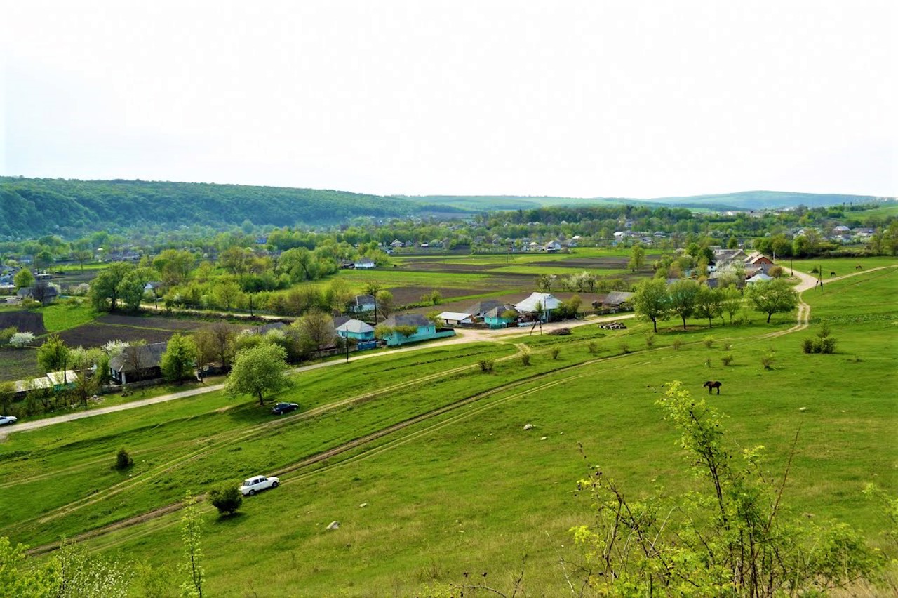
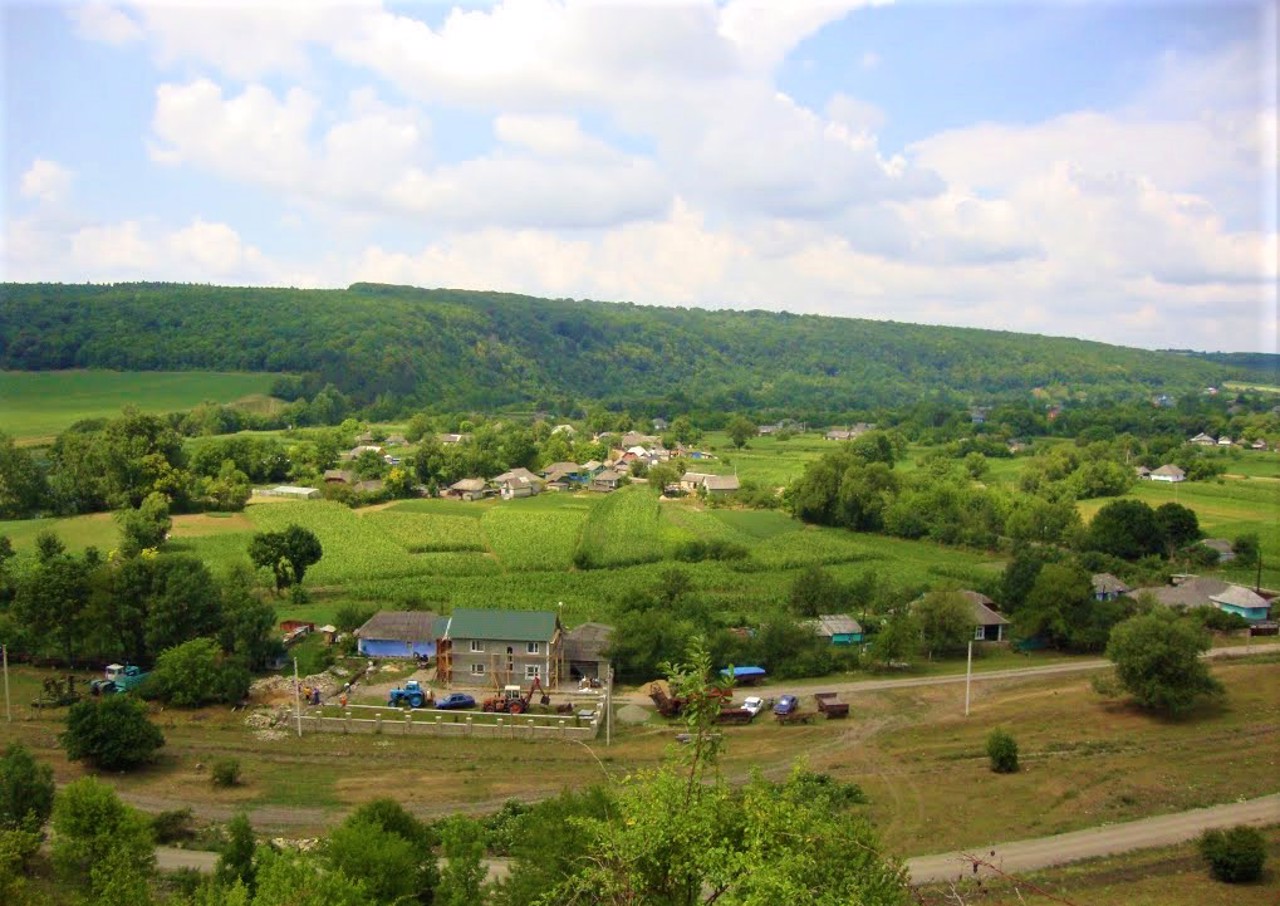
The village of Zavallia on the banks of the Zbrucha River is located 25 kilometers east of Kamyanets-Podilskyi. It has been known since the 16th century as a town owned by the Yazloveckyi family.
Between Zavallia and Kudryntsi passes the ancient Roman Troyan's Wall, which is also called the "Turkish Dam", which is probably where the name Zavallia comes from.
After the period of Turkish rule in the 18th century, the village often changed owners until it was acquired by Faustin Dvernytskyi. After the partition of Poland, Zavallia was divided into two parts by Zbruch, and to this day there are two separate villages in different regions: Khmelnitskyi and Ternopil.
The stone Saint Nicolas ...
The village of Zavallia on the banks of the Zbrucha River is located 25 kilometers east of Kamyanets-Podilskyi. It has been known since the 16th century as a town owned by the Yazloveckyi family.
Between Zavallia and Kudryntsi passes the ancient Roman Troyan's Wall, which is also called the "Turkish Dam", which is probably where the name Zavallia comes from.
After the period of Turkish rule in the 18th century, the village often changed owners until it was acquired by Faustin Dvernytskyi. After the partition of Poland, Zavallia was divided into two parts by Zbruch, and to this day there are two separate villages in different regions: Khmelnitskyi and Ternopil.
The stone Saint Nicolas Church (1779) has been preserved.
The entrance to the Atlantida karst cave is located on the southeastern outskirts, the village is a base for speleologists.
Село Завалля на березі Збруча розташоване в 25 кілометрах на схід від Кам'янця-Подільського. Відоме з XVI сторіччя як містечко у власності Язловецьких.
Між Заваллям і Кудринцями проходить давньоримський Троянів вал, який також називають "Турецька гребля", звідки, мабуть, і походить назва Завалля.
Після періоду турецького панування в XVIII столітті село часто змінювало господарів, поки його не придбав Фаустин Дверницький. Після поділу Польщі Завалля опинилося розділеним на дві частини Збручем, і донині є два окремих села в різних областях: Хмельницькій і Тернопільській.
Збереглася кам'яна Миколаївська церква (1779 рік).
На південно-східній околиці розташований вхід в карстов ...
Село Завалля на березі Збруча розташоване в 25 кілометрах на схід від Кам'янця-Подільського. Відоме з XVI сторіччя як містечко у власності Язловецьких.
Між Заваллям і Кудринцями проходить давньоримський Троянів вал, який також називають "Турецька гребля", звідки, мабуть, і походить назва Завалля.
Після періоду турецького панування в XVIII столітті село часто змінювало господарів, поки його не придбав Фаустин Дверницький. Після поділу Польщі Завалля опинилося розділеним на дві частини Збручем, і донині є два окремих села в різних областях: Хмельницькій і Тернопільській.
Збереглася кам'яна Миколаївська церква (1779 рік).
На південно-східній околиці розташований вхід в карстову печеру Атлантида, село є базою спелеологів.
Сплануй своє перебування у Zavallia
What to see and where to go in Zavallia
Tourist attractions and museums of Zavallia
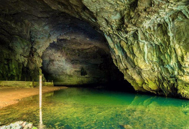
Atlantida Cave
Natural object
The Atlantida (Atlantis) karst cave is a geological monument of national importance within the National Nature Park "Podilski Tovtry".
The cave was discovered in 1968 by pioneer speleologists from Kyiv. It is currently supervised by the Khmelnytskyi speleoclub.
The Atlantida cave has three connected tiers, the total length is 2525 meters, the area is 4440 square meters. Bats live here and small, not yet completely looted heliatites - stone flowers "grow" here. On the ceiling of the hall - crystals.
The cave is not illuminated and not equipped for visiting, in some places you have to crawl through. Excursions are possible only accompanied by instructors by prior agreement. To visit, you must have a change of clothes, lanterns and other equipment.
Taking crystals out of the Atlantida cave is prohibited.
Zavallia on photo and video
Reviews Zavallia
Geographical information about Zavallia
| {{itemKey}} | {{itemValue}} |
|---|---|
| Region |
Khmelnytskyi |
