Functional temporarily unavailable
Vrublivtsi
Travel guide online Vrublivtsi
General information about Vrublivtsi
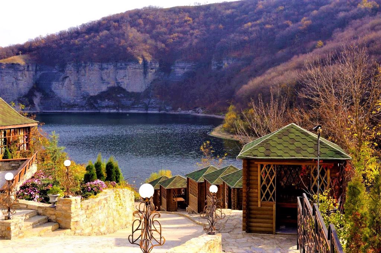
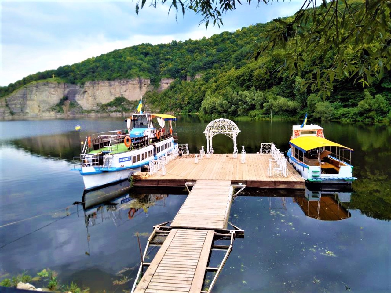
The village of Vrublivtsi is located at the confluence of the Ternava River with the Dniester, 15 kilometers southeast of Kamyanets-Podilskyi.
Known since 1460. The Vrublivtsi forest is a state botanical monument of local importance. Remains of one of the oldest settlements of the early (about 300,000 years ago) and late Paleolithic (40,000-13,000 years ago) were discovered not far from the reserve. The remains of the settlement of the early Trypil culture (IV millennium BC), the burial ground of the early Scythian times (VII century BC), as well as the early Slavic settlement of the Chernyakhiv culture and ancient Rus times (X-XII centuries) were studied.
Село Врублівці розташоване при впадінні річки Тернава в Дністер, в 15 кілометрах на південний схід від Кам'янця-Подільського.
Відоме з 1460 року. Врублівецький ліс є державною ботанічною пам'яткою природи місцевого значення. Недалеко від заповідника виявлені залишки однієї з найдавніших стоянок раннього (близько 300 тисяч років тому) і пізнього палеоліту (40-13 тисяч років тому). Досліджено залишки поселення ранньотрипільської культури (IV тисячоліття до нашої ери), могильника ранньо скіфських часів (VII стторіччя до нашої ери), а також ранньо слов'янське поселення Черняхівської культури і давньоруських часів (Х-XII століття).
Сплануй своє перебування у Vrublivtsi
What to see and where to go in Vrublivtsi
Tourist attractions and museums of Vrublivtsi
Vrublivetsky Forest
Natural object
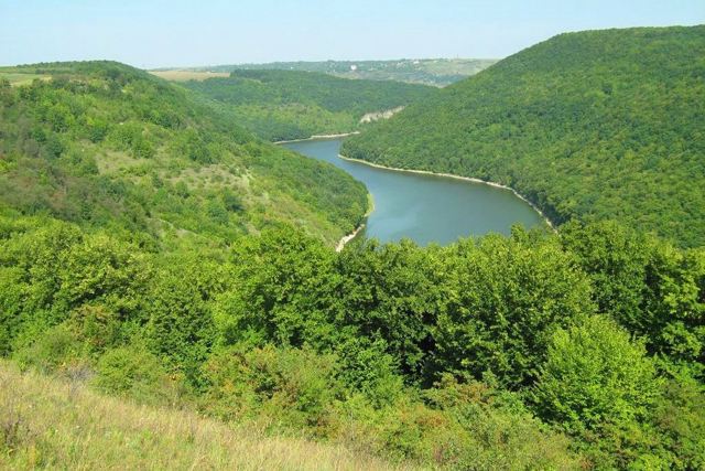
The Vrublivetsky forest on the hills at the confluence of the Tarnava River with the Dniester is a state botanical natural monument of local importance.
The territory of the reserve occupies 89 hectares.
This is a forest area of natural origin, covered with hornbeam and oak trees. There is a relict species - white sedge (carex alba), on steep hills (tovtras) an ordinary orchid grows, which does not have green leaves and can provide its nutrition only in symbiosis with woody plants.
Vrublivtsi on photo and video
Reviews Vrublivtsi
Geographical information about Vrublivtsi
| {{itemKey}} | {{itemValue}} |
|---|---|
| Region |
Khmelnytskyi |

