Functional temporarily unavailable
Luchyste
Travel guide online Luchyste
General information about Luchyste
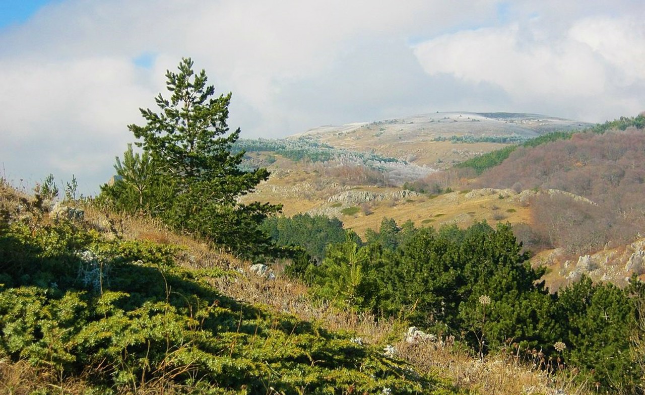
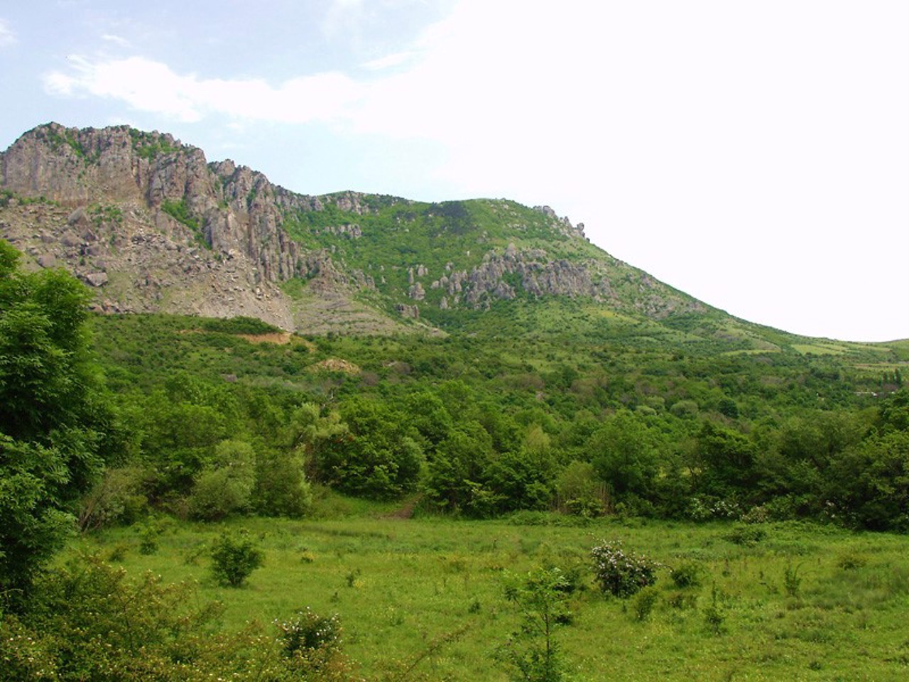
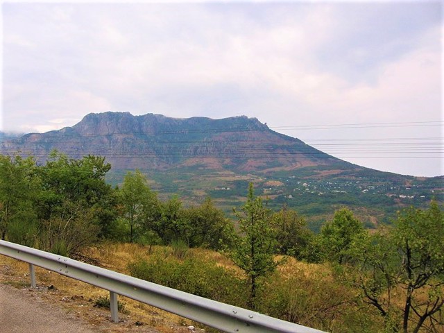
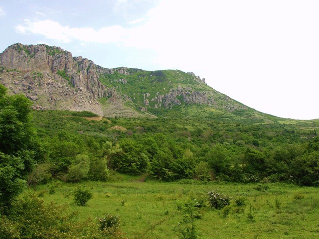
The village Luchyste is located at the foot of Mount Demirdzhi, 10 kilometers north of Alushta. Is administratively part of Yalta district of Autonomous Republic of Crimea.
In the Middle Ages, there was a border fortress of Funa (in Greek - "smoke") of the Mangup Principality of Feodoro, the ruins of which have been preserved 1.5 kilometers northwest of the village. After the conquest of the principality by the Ottoman troops in 1475, the fortress ceased to exist, but the Tatar village of Demirdzhi ("blacksmith" in Turkic) arose nearb ...
The village Luchyste is located at the foot of Mount Demirdzhi, 10 kilometers north of Alushta. Is administratively part of Yalta district of Autonomous Republic of Crimea.
In the Middle Ages, there was a border fortress of Funa (in Greek - "smoke") of the Mangup Principality of Feodoro, the ruins of which have been preserved 1.5 kilometers northwest of the village. After the conquest of the principality by the Ottoman troops in 1475, the fortress ceased to exist, but the Tatar village of Demirdzhi ("blacksmith" in Turkic) arose nearby.
In 1945, after the forced deportation of Crimean Tatars by the Soviet occupiers from Crimea to Central Asia, village was renamed Luchyste. Now the residents specialize in serving tourists who come to Demirdzhi and the Valley of Ghosts. Equestrian sports bases operate, guides organize excursions to the mountains, cafes of Tatar cuisine work.
Село Лучисте розташоване біля підніжжя гори Демірджі в 10 кілометрах на північ від Алушти. Адміністративно входить до складу Ялтинського району Автономної Республіки Крим.
В середньовіччі тут існувала прикордонна фортеця Фуна (грецькою - "димна") мангупського князівства Феодоро, руїни якої збереглися в 1,5 кілометрах на північний захід від села. Після завоювання князівства Османськими військами в 1475 році фортеця припинила існування, проте поряд виникло татарське селище Демірджі (тюркською - "коваль").
В 1945 році, після примусової ...
Село Лучисте розташоване біля підніжжя гори Демірджі в 10 кілометрах на північ від Алушти. Адміністративно входить до складу Ялтинського району Автономної Республіки Крим.
В середньовіччі тут існувала прикордонна фортеця Фуна (грецькою - "димна") мангупського князівства Феодоро, руїни якої збереглися в 1,5 кілометрах на північний захід від села. Після завоювання князівства Османськими військами в 1475 році фортеця припинила існування, проте поряд виникло татарське селище Демірджі (тюркською - "коваль").
В 1945 році, після примусової депортації кримських татар радянськими окупантами з Криму до Середньої Азії, село було перейменоване на Лучисте. Зараз жителі спеціалізуються на обслуговуванні туристів, що приїжджають на Демірджі і в Долину привидів. Діють кінно-спортивні бази, провідники організовують екскурсії в гори, працюють кафе татарської кухні.
Сплануй своє перебування у Luchyste
What to see and where to go in Luchyste
Tourist attractions and museums of Luchyste
Demerdzhi Mount (Ghost Valley)
Natural object
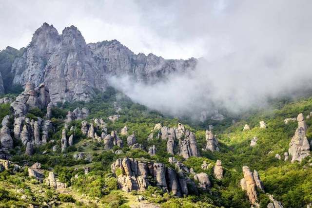
Mount Demerdzhi is a mountain massif (yayla) north of Alushta, one of the most beautiful peaks of the Crimean Mountains.
It rises 1240 meters above sea level. Translated from Crimean Tatar, Demerdzhi means "blacksmith". There is an ancient legend about an evil blacksmith who set up a giant blacksmith's furnace on the top of the "smoky" Mount Funa, where enslaved local residents worked. When the blacksmith killed the girl who came to ask him to free the captives, the mountain swallowed him along with the forge.
As a result of weathering, a unique stone chaos was formed on the top - a complex of rocks "Valley of Ghosts", consisting of stone pillars, towers, mushrooms, etc. The "Head of Catherine" rock stands out, resembling the profile of the queen. Walking and horseback excursions are held.
Funa Fortress
Castle / fortress
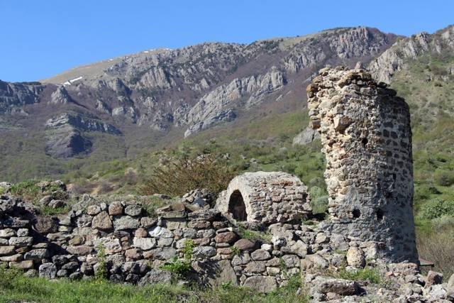
The medieval fortress of Funa is located on a rocky hill at the foot of Mount Demerdzhi in Crimea.
The name Funa means "smoky" in Greek. Previously, Mount Demerdzhi, which is often shrouded in fog, was also called Funa.
The fortress has been known since 1384 as the eastern outpost of the Mangup Principality of Feodoro. She controlled the trade route that led from Horzuvit (Hurzuf) and Aluston (Alushta) to the steppe Crimea.
During the reconstruction carried out in 1459, a 15-meter rectangular donjon tower was built. An important place in the architectural ensemble was occupied by the church of Saint Theodore Stratilatus, the ruins of which were best preserved after the destruction of the fortress by the Turks in 1475.
In the low season, access to the object is free, in the high season a small entrance fee is introduced.
Luchyste on photo and video
Reviews Luchyste
Geographical information about Luchyste
| {{itemKey}} | {{itemValue}} |
|---|---|
| Region |
Autonomous Republic of Crimea |

