Functional temporarily unavailable
Malorichenske
Travel guide online Malorichenske
General information about Malorichenske
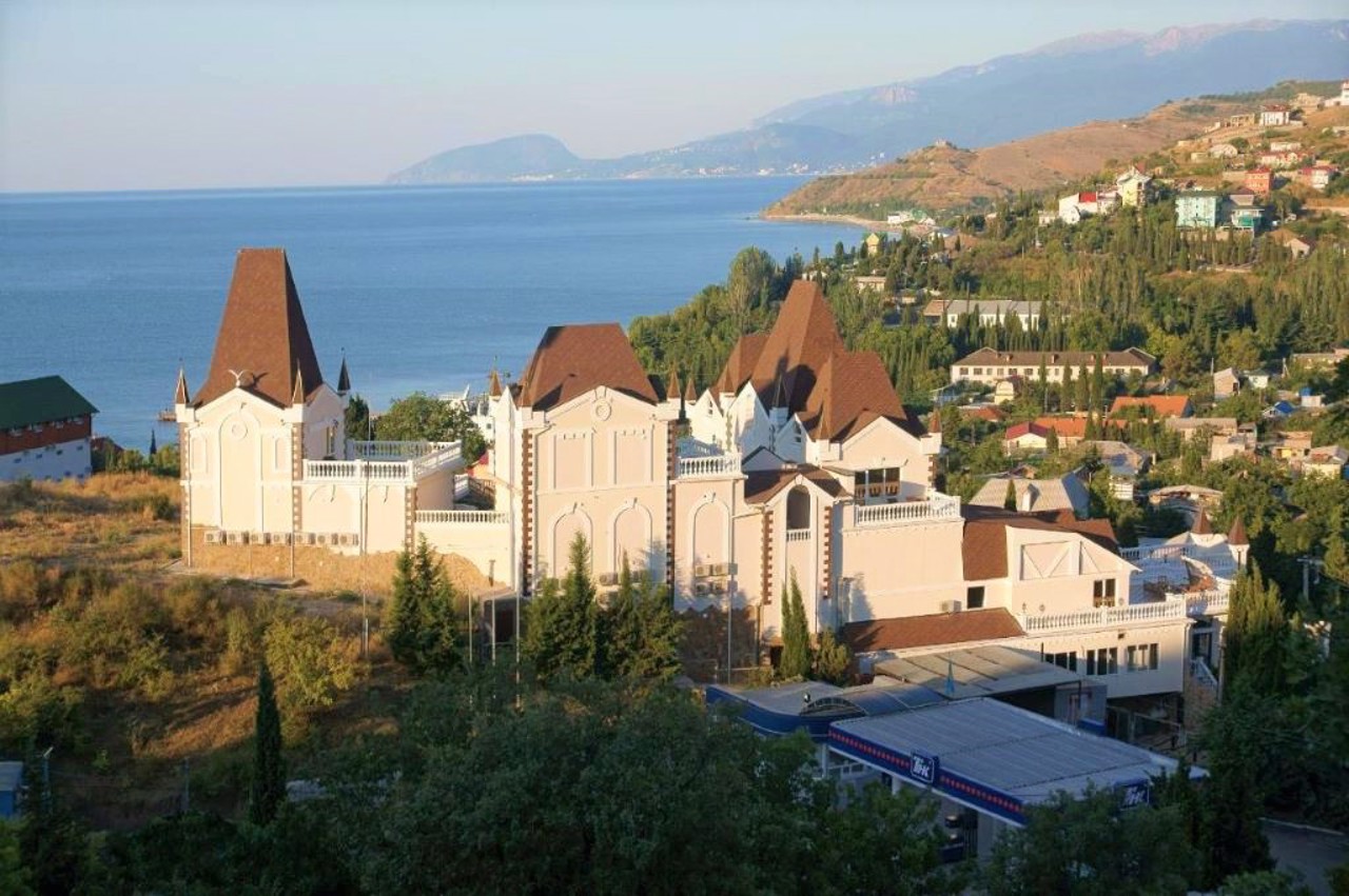
The small resort village Malorichenske is located on the seashore between Alushta and Sudak. Is administratively part of Yalta district of Autonomous Republic of Crimea.
It arose in the 10th century near a small stream, which gave the village its name (in Greek - Mikropotam, in Tatar - Kuchuk-Ozen). The former Tatar village Kuchuk-Ozen received its name Malorichenske in 1945 after the forced deportation of Crimean Tatars by the Soviet occupiers from Crimea to Central Asia.
< ...The small resort village Malorichenske is located on the seashore between Alushta and Sudak. Is administratively part of Yalta district of Autonomous Republic of Crimea.
It arose in the 10th century near a small stream, which gave the village its name (in Greek - Mikropotam, in Tatar - Kuchuk-Ozen). The former Tatar village Kuchuk-Ozen received its name Malorichenske in 1945 after the forced deportation of Crimean Tatars by the Soviet occupiers from Crimea to Central Asia.
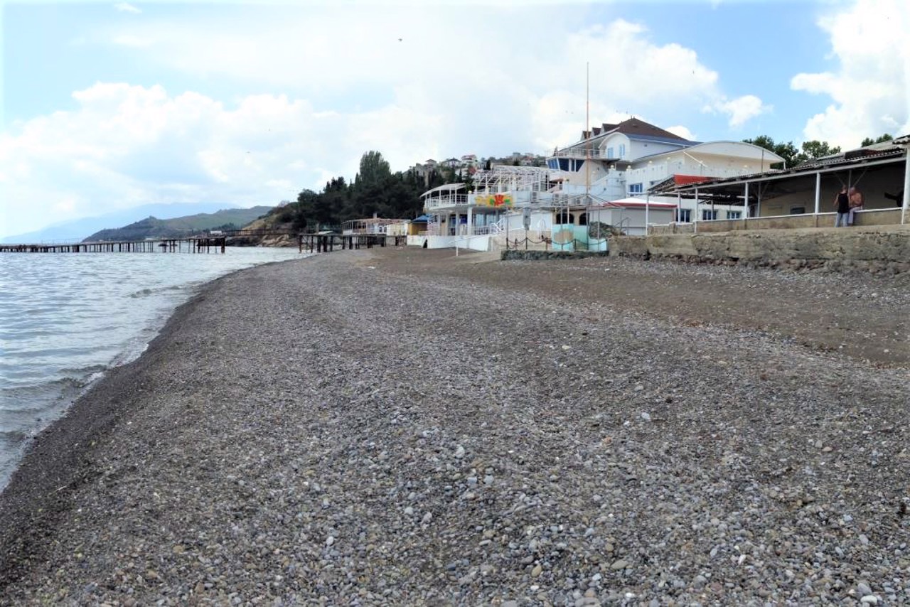
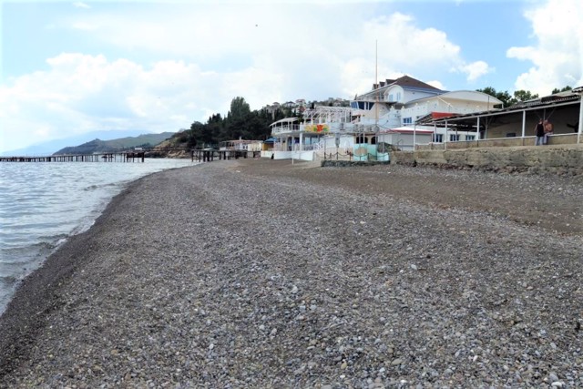
The main street passes over a long pebble beach up to 30-50 meters wide. There are several guesthouses with well-maintained beaches, and the private sector and campsites, rocky beaches and a cozy "bay of love" are at the disposal of lovers of "wild" recreation.
There is a road from Malorichenske to Heneralske to the Jur-Jur waterfall.
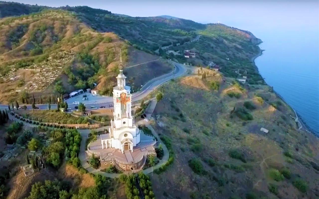
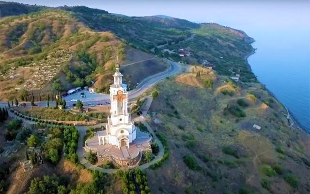
In 2007, the Mykolaiv church-beacon was erected on the rock near the highway in memory of the fallen sailors and travelers.
Невелике курортне село Малоріченське розташоване на березі моря між Алуштою та Судаком. Адміністративно входить до складу Ялтинського району Автономної Республіки Крим.
Виникло в X сторіччі біля маленького струмка, який і дав селу назву (грецькою - Мікропотам, татарською - Кучюк-Озєн). Назву Малоріченське колишнє татарське село Кучюк-Озєн отримало у 1945 році після примусової депортації кримських татар радянськими окупантами з Криму до Середньої Азії.
Головна вулиця проходить ...
Невелике курортне село Малоріченське розташоване на березі моря між Алуштою та Судаком. Адміністративно входить до складу Ялтинського району Автономної Республіки Крим.
Виникло в X сторіччі біля маленького струмка, який і дав селу назву (грецькою - Мікропотам, татарською - Кучюк-Озєн). Назву Малоріченське колишнє татарське село Кучюк-Озєн отримало у 1945 році після примусової депортації кримських татар радянськими окупантами з Криму до Середньої Азії.
Головна вулиця проходить над довгим дрібногальковим пляжем шириною до 30-50 метрів. Є кілька пансіонатів з упорядкованими пляжами, а до послуг любителів "дикого" відпочинку - приватний сектор і кемпінги, скелясті пляжі та затишна "бухта любові".
Від Малоріченського йде дорога в Генеральське до водоспаду Джур-Джур.
В 2007 році на скелі біля траси зведена Миколаївська церква-маяк пам'яті загиблих моряків і мандрівників.
Сплануй своє перебування у Malorichenske
What to see and where to go in Malorichenske
Malorichenske on photo and video
Reviews Malorichenske
Geographical information about Malorichenske
| {{itemKey}} | {{itemValue}} |
|---|---|
| Region |
Autonomous Republic of Crimea |
