Functional temporarily unavailable
Rodnykivske
Travel guide online Rodnykivske
General information about Rodnykivske
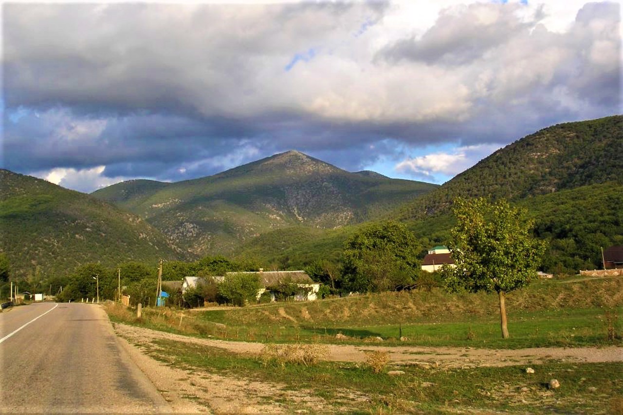
The village of Rodnykivske is located in the Baydar valley.
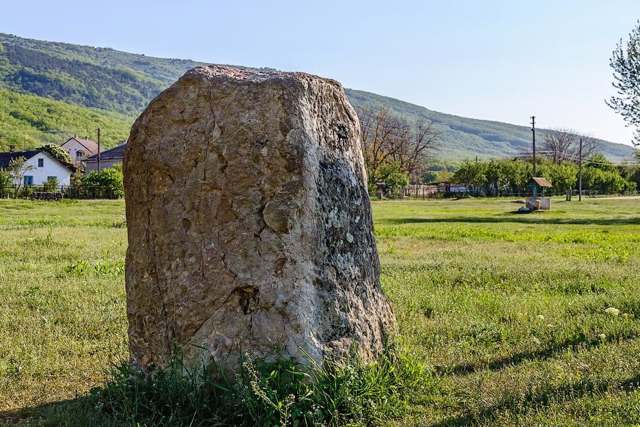
Before the forced deportation of Crimean Tatars by Soviet occupiers from Crimea to Central Asia in 1944, the village was called Skele (Skelya, Skeli, Skala), which means "stairs" in Greek. The Skele was first mentioned in the 18th century as a Greek settlement. In ancient times, a path from the coast through the Shaitan-Merdven (Devil's Stairs) mountain pass to Chersonese passed through the village. In the village of Rodnykivske, you can see the so-called Skelsky menhirs - ancient megalithic structures of the III-II millennium BC.
Skelska cave is located near the village.
Село Родниківське розташоване в Байдарській долині.
До примусової депортації кримських татар радянськими окупантами із Криму в Середню Азію в 1944 році село мало назву Скєлє (Скеля, Скелі, Скала), що в перекладі з грецької означає "сходи". Вперше Скєлє згадується в XVIII сторіччі як грецьке поселення. В давнину через село проходила стежка від узбережжя через гірський прохід Шайтан-Мердвен (Чортові Сходи) до Херсонесу. В селі Родниківському можна побачити так звані Скельскі менгіри - стародавні мегалітичні споруди III-II тисячоліття до нашої ери.
Поруч з селом розташована Скельська печера.
Сплануй своє перебування у Rodnykivske
What to see and where to go in Rodnykivske
Tourist attractions and museums of Rodnykivske

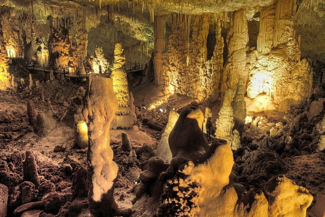
Skelska Cave
Natural object
The Skelska stalactite cave in Crimea is located in the tract "Karadah forest" at the foot of Mount Kara-Dah on the slope of Baydary Valley near the village of Rodnykivske.
It was opened and first examined in 1904 by a local teacher, Fedir Kyrylov. The total length of the investigated part is 670 meters.
Skelska Cave was formed in Upper Jurassic marbled limestones by tectonic faulting - as a result of underground water processes in cracked limestone rocks.
The cave has several halls connected by passages. The height of the vault of the largest and most beautiful hall reaches 25 meters. The walls are decorated with numerous hanging curtains and ribs, original niches-baths.
The main attraction of the Skelska cave is a seven-meter stalagmite.
Underground rivers and lakes with a depth of up to 70 meters have formed in the lower narrow galleries, which feed the Baydary Reservoir.
The cave is listed in the Crimean Book of Records as the most inhabited by speleofauna: spiders, crustaceans, arthropods, grasshoppers, millipedes, bats, etc. Basically, these are endemics - creatures that live only in this area. The temperature in the upper halls is +12 degrees, and in the lower one, where the labyrinths of water wells pass, +9 degrees.
The Skelska cave is open for visitors.

Skelsky Menhirs
Archaeological site
Skelsky Menhirs of the Baydary Valley are ancient (III-II millennium BC) megalithic structures of cult (astronomical) purpose.
They are stone blocks of marble limestone placed vertically in the form of obelisks. The height of the largest of them is 2.8 meters, the other is 1.2 meters. The third was excavated in the 1950s during the construction of an aqueduct. In 1989, another fallen menhir with a height of about 2.4 meters was discovered.
The Tatars called this place Tekli-Tash ("placed stone"). The mass of Menhir reaches 6 tons. It is interesting that there are no quarries nearby, and the nearest rocks are located several kilometers from here.
Menhirs are attributed magical healing properties, calling them "the place of Power".
Reviews Rodnykivske
Geographical information about Rodnykivske
| {{itemKey}} | {{itemValue}} |
|---|---|
| Region |
Autonomous Republic of Crimea |


