Functional temporarily unavailable
Ternivka
Travel guide online Ternivka
General information about Ternivka
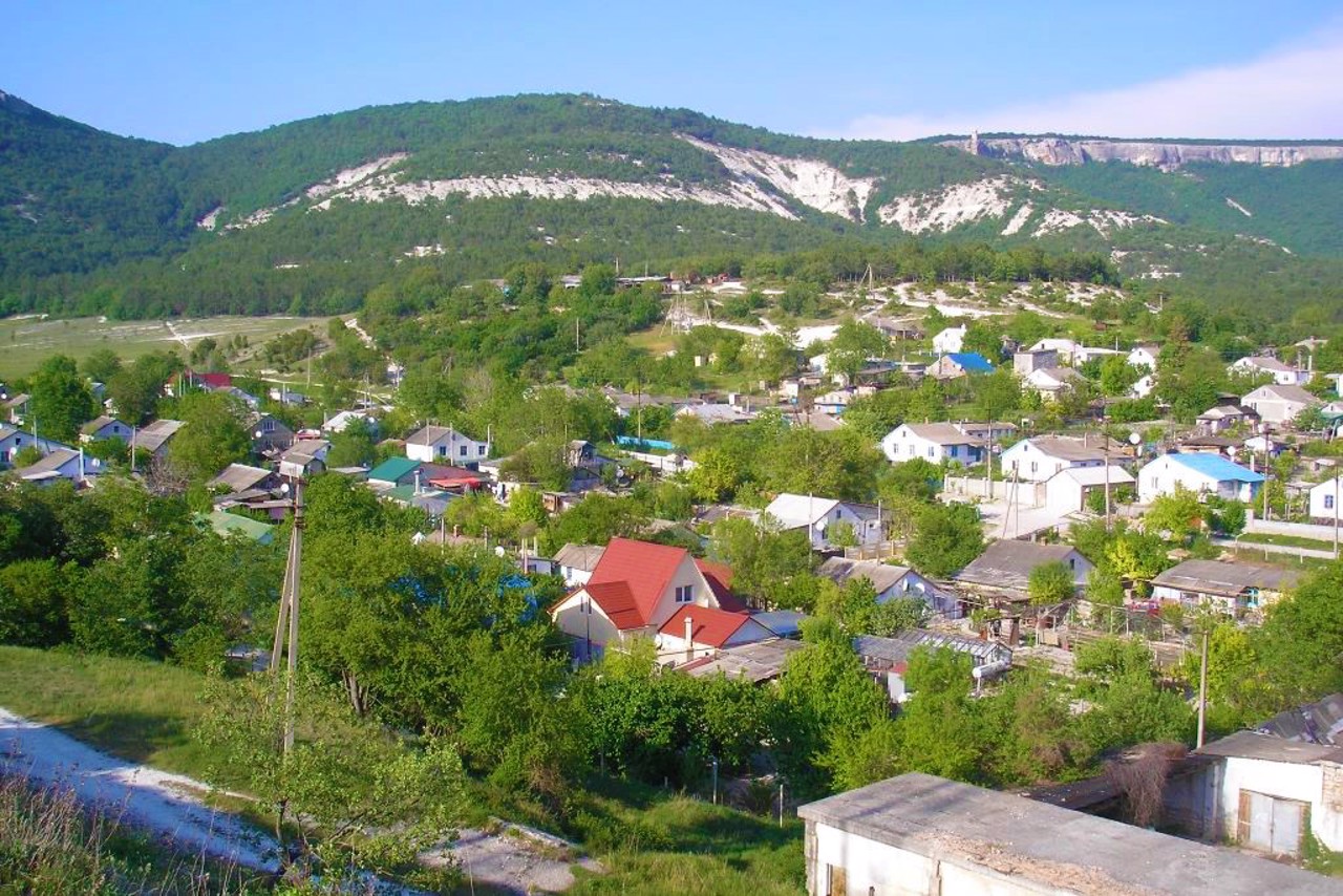
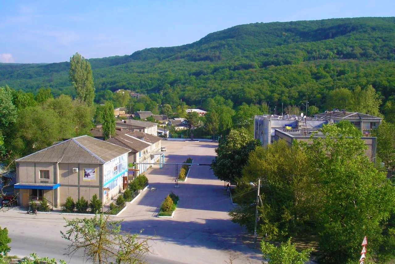
The village Ternivka is located on the route between Balaklava and Bakhchysarai. Probably founded by the Greeks.
It was first mentioned in the firms of the Tatar khan of the XIV-XV centuries as Shulya. Renamed in 1945, after the forced deportation of Crimean Tatars by Soviet occupiers from Crimea to Central Asia.
The eaves of Chelter-Kaya mountain above the village are dotted with caves of the ancient monasteries Shuldan and Chelter. During World War II, General Erich Manstein's observation post was located on the El Burun River during the capture of Sevastopol.
A 300-year-old plane tree grows in the center of Ternivka (its ...
The village Ternivka is located on the route between Balaklava and Bakhchysarai. Probably founded by the Greeks.
It was first mentioned in the firms of the Tatar khan of the XIV-XV centuries as Shulya. Renamed in 1945, after the forced deportation of Crimean Tatars by Soviet occupiers from Crimea to Central Asia.
The eaves of Chelter-Kaya mountain above the village are dotted with caves of the ancient monasteries Shuldan and Chelter. During World War II, General Erich Manstein's observation post was located on the El Burun River during the capture of Sevastopol.
A 300-year-old plane tree grows in the center of Ternivka (its leaves are depicted on the coat of arms of the village).
Село Тернівка розташоване на трасі між Балаклавою та Бахчисараєм. Ймовірно, засноване греками.
Вперше згадується в фірманах татарського хана XIV-XV століттях як Шулю. Перейменоване у 1945 році, після примусової депортації кримських татар радянськими окупантами із Криму до Середньої Азії .
Карниз гори Челтер-Кая над селом поцяткований печерами древніх монастирів Шулдан і Челтер. Під час Другої світової війни на річці Ель-Бурун знаходився спостережний пункт генерала Еріха Манштейна під час взяття Севастополя.
В центрі Тернівки росте 300- річний платан (на гербі села зображено його листя).
Сплануй своє перебування у Ternivka
What to see and where to go in Ternivka
Tourist attractions and museums of Ternivka
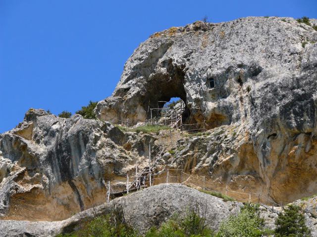
Chylter-Marmara
Archaeological site
The cave monastery of Chylter-Marmara stretched with a gallery along the cornice of Mount Chylter-Kaya ("lattice rock") above Ternivka.
More than fifty caves are located in 5 tiers: cells, a refectory, utility rooms, as well as a gallery with five columns and a large Christian temple. The complex is surrounded on all sides by impregnable rocks and cliffs.
The Chylter-Marmara Monastery operated from the XII-XIII to the end of the XV century, but some researchers date it to the VI-IX centuries.
The epithet "Marmara" comes from the name of a medieval village, the ruins of which are located on the slopes of the mountain. The plateau offers a wonderful view of the surrounding nature.
Reviews Ternivka
Geographical information about Ternivka
| {{itemKey}} | {{itemValue}} |
|---|---|
| Region |
Autonomous Republic of Crimea |
