Functional temporarily unavailable
Bashtanivka
Travel guide online Bashtanivka
General information about Bashtanivka
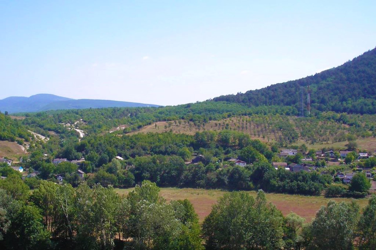
The village Bashtanivka is located near the Bakhchysarai-Verkhorichchya highway, in the valley of the Kacha River, at the foot of Burun-Kaya Mountain.
It originated in the early Middle Ages, in later times was called another settlement, which existed on Mount Fitsky on the opposite side of the river. Little name Pychky. Translated from the Crimean Tatar Pychky means "saw".
The village was renamed Bashtanivka in the mid-20th century after the forced deportation of Crimean Tatars by Soviet occupiers from Crimea to Central Asia.
From here you can climb to the rock monastery Kachi-Kalon.
Село Баштанівка розташоване поруч з шосе Бахчисарай-Верхоріччя, в долині ріки Кача, біля підніжжя гори Бурун-Кая.
Виникло за часів раннього середньовіччя, в більш пізні часи отримало назву іншого поселення, яке існувало на горі Фицкі з протилежного боку річки. Мало назву Пички. У перекладі з кримськотатарського Пички означає "пилка".
Село було перейменовано на Баштанівку в середині XX століття після примусової депортації кримських татар радянськими окупантами із Криму в Середню Азію.
Звідси можна піднятися до скельного монастиря Качи-Кальон.
Сплануй своє перебування у Bashtanivka
What to see and where to go in Bashtanivka
Reviews Bashtanivka
Geographical information about Bashtanivka
| {{itemKey}} | {{itemValue}} |
|---|---|
| Region |
Autonomous Republic of Crimea |


