Functional temporarily unavailable
Molochne
Travel guide online Molochne
General information about Molochne
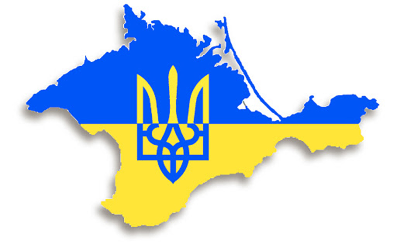
Village Molochne is located on the territory of Autonomous Republic of Crimea and is administratively part of Perekop district AR Crimea. According to the Codifier of Administrative Territorial Units and Territories of Territorial Communities of Ukraine, the settlement Molochne has the code UA01140190040040716.
The district center of the Perekop district is a city Yani Kapu. The distance from the district center to the settlement Molochne is 37 kilometers in a straight line (the length of the road route may be longer).
The former Tatar village ...
Village Molochne is located on the territory of Autonomous Republic of Crimea and is administratively part of Perekop district AR Crimea. According to the Codifier of Administrative Territorial Units and Territories of Territorial Communities of Ukraine, the settlement Molochne has the code UA01140190040040716.
The district center of the Perekop district is a city Yani Kapu. The distance from the district center to the settlement Molochne is 37 kilometers in a straight line (the length of the road route may be longer).
The former Tatar village Yani-Manay received its name Molochne in 1948 after the forced deportation of Crimean Tatars by the Soviet occupiers from Crimea to Central Asia.
A detailed description of Molochne, including geographical location, date of foundation, history of the settlement Molochne with main historical events and persons, main sights and interesting places of Molochne, not yet available.
Cело Молочне розташоване на території Автономної Республіки Крим та адміністративно входить до складу Перекопського району АР Крим. Згідно з Кодифікатором адміністративно-територіальних одиниць та територій територіальних громад України, населений пункт Молочне має код UA01140190040040716.
Районним центром Перекопського району є місто Яни Капу. Відстань від райцентру до населеного пункта Молочне становить 37 кілометрів по прямій (довжина маршруту автомобільними дорогами може бути більшою).
Назву Молочне колишнє татарське село Яни-Манай отримал ...
Cело Молочне розташоване на території Автономної Республіки Крим та адміністративно входить до складу Перекопського району АР Крим. Згідно з Кодифікатором адміністративно-територіальних одиниць та територій територіальних громад України, населений пункт Молочне має код UA01140190040040716.
Районним центром Перекопського району є місто Яни Капу. Відстань від райцентру до населеного пункта Молочне становить 37 кілометрів по прямій (довжина маршруту автомобільними дорогами може бути більшою).
Назву Молочне колишнє татарське село Яни-Манай отримало у 1948 році після примусової депортації кримських татар радянськими окупантами з Криму до Середньої Азії.
Детальний опис Молочного, що включає географічне розташування, дату заснування, історію населеного пункта Молочне з основними історичними подіями та персонами, основні пам'ятки та цікаві місця Молочного, поки що відсутній.
Сплануй своє перебування у Molochne
What to see and where to go in Molochne


Reviews Molochne
Geographical information about Molochne
| {{itemKey}} | {{itemValue}} |
|---|---|
| Region |
Autonomous Republic of Crimea |