Functional temporarily unavailable
Rozdolne
Travel guide online Rozdolne
General information about Rozdolne
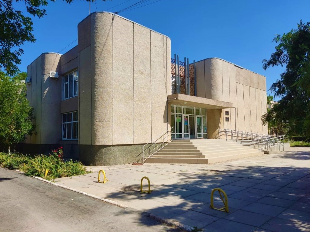
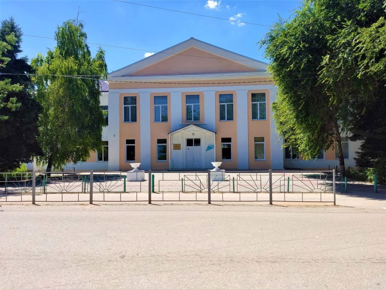
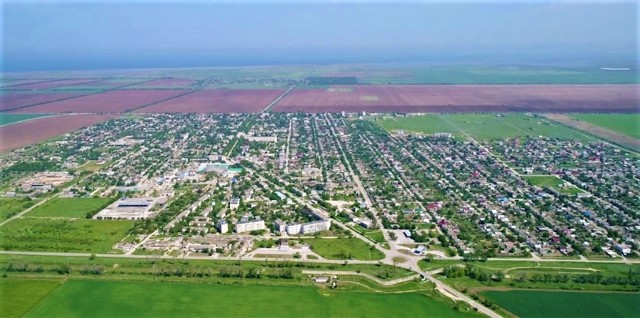
The town Rozdolne is located in the north-west of Crimea, 40 kilometers from Yana Kapu in the direction of the Chornomorske, 10 kilometers from the seashore.
It was first mentioned in 1784 as the Tatar settlement of Aqsheyh. After the second wave of Crimean Tatar emigration in the 1850s and 1860s, the village was settled by German colonists. In 1944, after the forced deportation of Crimean Tatars by the Soviet occupiers from Crimea to Central Asia, the village was renamed Rozdolne.
After the construction of the North-Crimean Canal, the construction of a diversion facility began in Rozdolne.
Of the attractions, there is only t ...
The town Rozdolne is located in the north-west of Crimea, 40 kilometers from Yana Kapu in the direction of the Chornomorske, 10 kilometers from the seashore.
It was first mentioned in 1784 as the Tatar settlement of Aqsheyh. After the second wave of Crimean Tatar emigration in the 1850s and 1860s, the village was settled by German colonists. In 1944, after the forced deportation of Crimean Tatars by the Soviet occupiers from Crimea to Central Asia, the village was renamed Rozdolne.
After the construction of the North-Crimean Canal, the construction of a diversion facility began in Rozdolne.
Of the attractions, there is only the Park of Culture and Recreation.
Селище Роздольне розташоване на північному заході Криму, в 40 кілометрах від Яни Капу в бік Чорноморського, в 10 кілометрах від берега моря.
Вперше згадується в 1784 році як татарське поселення Акшейх. Після другої хвилі еміграції кримських татар в 1850-1860-х роках село було заселене німецькими колоністами. В 1944 році, після примусової депортації кримських татар радянськими окупантами з Криму до Середньої Азії, селище було перейменоване на Роздольне.
Після спорудження Північно-Кримського каналу в Роздольному розгорнулося будівництво відвідної споруди.
З визначних пам'яток є тільки Парк культури і відпочинку.
Сплануй своє перебування у Rozdolne
What to see and where to go in Rozdolne
Reviews Rozdolne
Geographical information about Rozdolne
| {{itemKey}} | {{itemValue}} |
|---|---|
| Region |
Autonomous Republic of Crimea |

