Functional temporarily unavailable
Vesele
Travel guide online Vesele
General information about Vesele
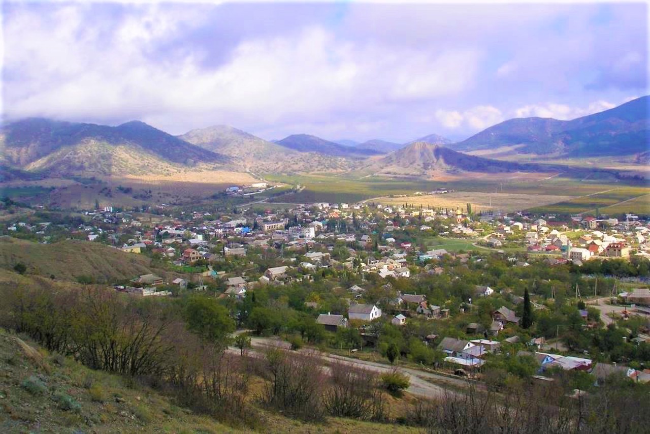
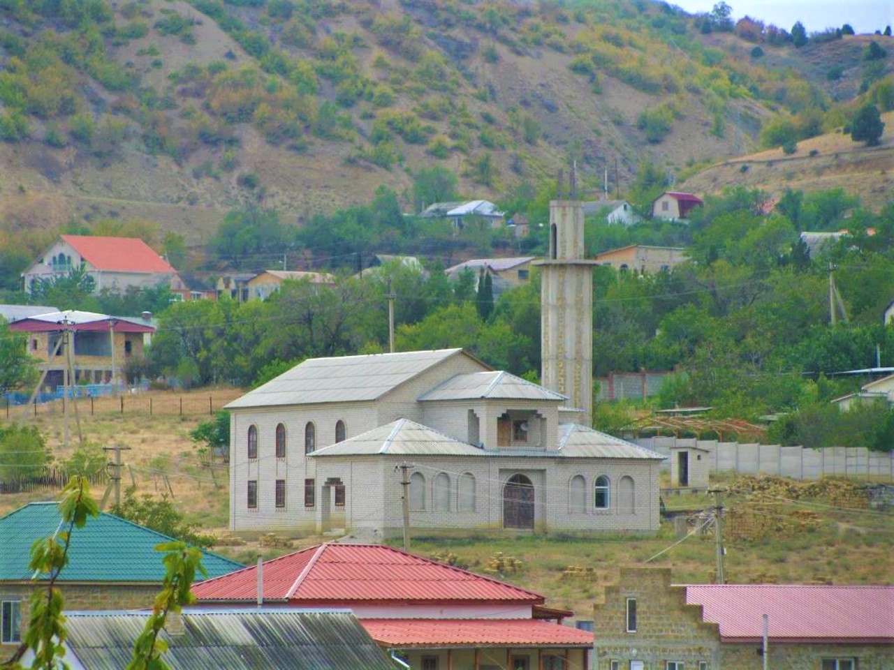
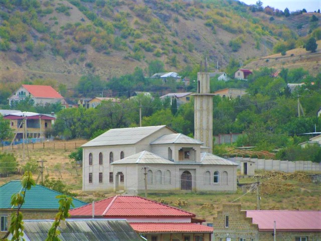
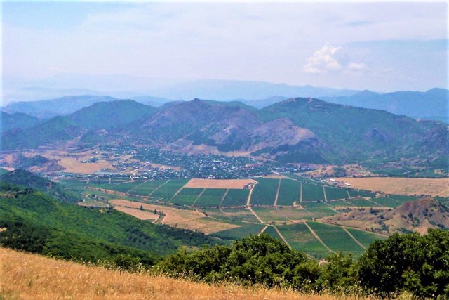
The village Vesele is located in the Kutlak Valley at the foot of Mount Karaul-Oba, 10 kilometers east of Sudak, 4 kilometers from the beaches of Kutlak Bay. Is administratively part of Feodosiia district of Autonomous Republic of Crimea.
It was first mentioned in Genoese sources in the 16th century, but even in ancient times there was a fortress here (1st century BC - 1st century AD), the former westernmost defensive point of the Bosporus kingdom. Later, the Tatar settlement of Kutlak arose in this place.
In the center of the village there is an ancien ...
The village Vesele is located in the Kutlak Valley at the foot of Mount Karaul-Oba, 10 kilometers east of Sudak, 4 kilometers from the beaches of Kutlak Bay. Is administratively part of Feodosiia district of Autonomous Republic of Crimea.
It was first mentioned in Genoese sources in the 16th century, but even in ancient times there was a fortress here (1st century BC - 1st century AD), the former westernmost defensive point of the Bosporus kingdom. Later, the Tatar settlement of Kutlak arose in this place.
In the center of the village there is an ancient fountain built in the middle of the 14th century from sandstone mined by local residents from the ruins of an ancient fortress.
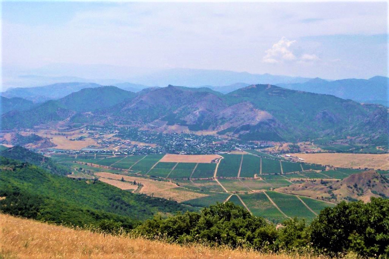
At the beginning of the 20th century, the outskirts of the village were planted with vineyards. Vintage wines are made from local grapes at the "Masandra" plant.
Село Веселе розташоване в Кутлакській долині біля підніжжя гори Караул-Оба в 10 кілометрах на схід від Судака, в 4 кілометрах від пляжів Кутлакської бухти. Адміністративно входить до складу Феодосійського району Автономної Республіки Крим.
Вперше згадується в генуезьких джерелах в XVI сторіччі, проте ще в античні часи тут існувала фортеця (I сторіччя до нашої ери - I сторіччя нашої ери), колишній найзахідніший оборонний пункт Боспорського царства. Пізніше на цьому місці виникло татарське поселення Кутлак.
В центрі села зберігся старовинний фонтан, побуд ...
Село Веселе розташоване в Кутлакській долині біля підніжжя гори Караул-Оба в 10 кілометрах на схід від Судака, в 4 кілометрах від пляжів Кутлакської бухти. Адміністративно входить до складу Феодосійського району Автономної Республіки Крим.
Вперше згадується в генуезьких джерелах в XVI сторіччі, проте ще в античні часи тут існувала фортеця (I сторіччя до нашої ери - I сторіччя нашої ери), колишній найзахідніший оборонний пункт Боспорського царства. Пізніше на цьому місці виникло татарське поселення Кутлак.
В центрі села зберігся старовинний фонтан, побудований ще в середині XIV століття з пісковику, видобутого місцевими жителями на руїнах античної фортеці.
На початку XX століття околиці села були засаджені виноградниками. З тутешнього винограду виготовляють марочні вина на заводі "Масандра".
Сплануй своє перебування у Vesele
What to see and where to go in Vesele
Tourist attractions and museums of Vesele
Kutlak Fortress
Archaeological site
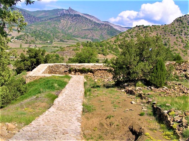
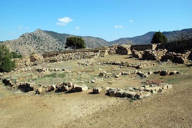
The ruins of the ancient Kutlak fortress, also known as the Asandra or Afineon fortress, are located on the western edge of Mount Karaul-Oba, which has the appearance of a high promontory with steep slopes above the Kutlak Bay.
The fortification was built in the 1st century BC by the Bosporan king Asander, the son of Mithridates VI Eupator. It was probably the westernmost outpost of the Bosporan kingdom, which controlled the surrounding Tauro-Scythians and opposed sea piracy of the barbarians.
The pentagonal fortress with an area of 0.25 hectares had rectangular towers at the corners, and the northwestern tower was three-walled, and the eastern, the largest (10.7 by 8.25 meters) - two-chambered. The garrison, numbering about 100 people, was housed in barracks along the northeastern and southeastern curtains. The fortress had its own forge.
About 500 stone cores for slings and throwing machines, large iron arrowheads, axes and ceramics stand out among the archaeological finds.
Reviews Vesele
Geographical information about Vesele
| {{itemKey}} | {{itemValue}} |
|---|---|
| Region |
Autonomous Republic of Crimea |
