Functional temporarily unavailable
Armiansk
Travel guide online Armiansk
General information about Armiansk
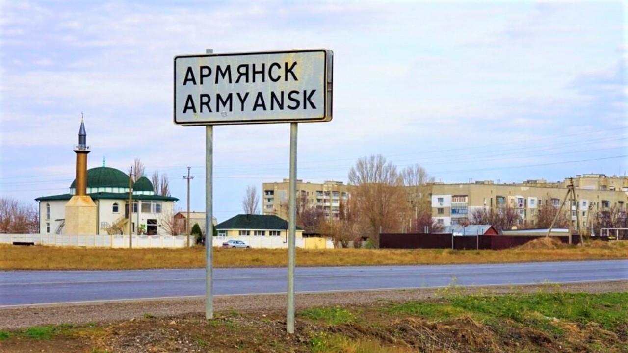
The city Armiansk is located on the Perekop Isthmus, which connects Crimea with the continent, on the Simferopol-Kherson highway.
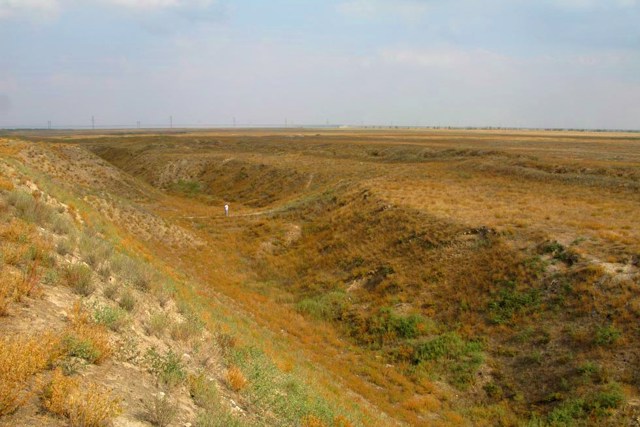
Here is the legendary Perekop Wall, which long ago protected the only land route to the Crimea from the north.
Armiansk was founded at the beginning of the 18th century by Armenians and Greeks who moved from the fortress of Or-Kapa (Perekop) - one of the three fortresses that guarded the Perekop Wall. The city has been known since the 1730s under the name Armenian Bazar. In 1921, it was renamed to Armiansk. The status of the city of republican subordination was granted in 1993.
This is a convenient transit point on the way to Crimea. Well-developed roadside infrastructure: ga ...
The city Armiansk is located on the Perekop Isthmus, which connects Crimea with the continent, on the Simferopol-Kherson highway.
Here is the legendary Perekop Wall, which long ago protected the only land route to the Crimea from the north.
Armiansk was founded at the beginning of the 18th century by Armenians and Greeks who moved from the fortress of Or-Kapa (Perekop) - one of the three fortresses that guarded the Perekop Wall. The city has been known since the 1730s under the name Armenian Bazar. In 1921, it was renamed to Armiansk. The status of the city of republican subordination was granted in 1993.
This is a convenient transit point on the way to Crimea. Well-developed roadside infrastructure: gas stations, cafes, shops. There is a stationary Patrol Police post on the border of the Crimean Autonomous Region, sometimes a resort fee is imposed for entering the peninsula.
Місто Армянськ розташоване на Перекопському перешийку, що з'єднує Крим з континентом, на трасі Сімферополь-Херсон.
Тут знаходиться легендарний Перекопський вал, який здавна захищав єдиний сухопутний шлях до Криму з півночі.
Армянськ заснований на початку XVIII сторіччя вірменами й греками, що переселилися з фортеці Ор-Капи (Перекоп) - однієї з трьох фортець, які охороняли Перекопський вал. Місто відоме з 1730-х років під назвою Вірменський Базар. В 1921 році перейменоване на Армянськ. Статус міста республіканського підпорядкування надано в 1993 році.
Це зручний перевалочний пункт на шляху до Криму. Добре розвинена придорожня інфраструктура: АЗС, кафе, магазини. На кордоні Кримської автономії знаходи ...
Місто Армянськ розташоване на Перекопському перешийку, що з'єднує Крим з континентом, на трасі Сімферополь-Херсон.
Тут знаходиться легендарний Перекопський вал, який здавна захищав єдиний сухопутний шлях до Криму з півночі.
Армянськ заснований на початку XVIII сторіччя вірменами й греками, що переселилися з фортеці Ор-Капи (Перекоп) - однієї з трьох фортець, які охороняли Перекопський вал. Місто відоме з 1730-х років під назвою Вірменський Базар. В 1921 році перейменоване на Армянськ. Статус міста республіканського підпорядкування надано в 1993 році.
Це зручний перевалочний пункт на шляху до Криму. Добре розвинена придорожня інфраструктура: АЗС, кафе, магазини. На кордоні Кримської автономії знаходиться стаціонарний пост Патрульної поліції, іноді вводиться курортний збір за в'їзд на півострів.
Сплануй своє перебування у Armiansk
What to see and where to go in Armiansk
Tourist attractions and museums of Armiansk

Perekop Shaft
Historic area , Castle / fortress
The Perekop Shaft is a powerful earthen fortification that crosses the Perekop Isthmus in its narrowest part.
The height of the embankment reached 10 meters, along it ran a canal connecting Perekop Bay with Lake Sivash.
The exact date of construction of the Perekop Shaft is unknown, but already in the 1st century Greek sources mention the Tafros fortress with a defensive rampart and a canal laid along it.
During the Crimean Khanate, Perekop defended Crimea from the continent. The earthen embankment was fortified with stone towers, the ruins of one of which still rise 15 meters above the waters of the Karkinit Bay of the Black Sea on the western side of the embankment. In the center was the Turkish fortress of Or-Kapu, of which only the ramparts now remain. Since then, Perekop is often called the Turkish rampart.
In 1736, it was stormed by Russian troops, and in 1920, Wrangel's army stubbornly defended itself here during the Red Army attack (the city of Perekop was completely destroyed), battles were fought during the Second World War. Monuments and obelisks remind us of this.
Reviews Armiansk
Geographical information about Armiansk
| {{itemKey}} | {{itemValue}} |
|---|---|
| Region |
Autonomous Republic of Crimea |


