Functional temporarily unavailable
General information about Voloske
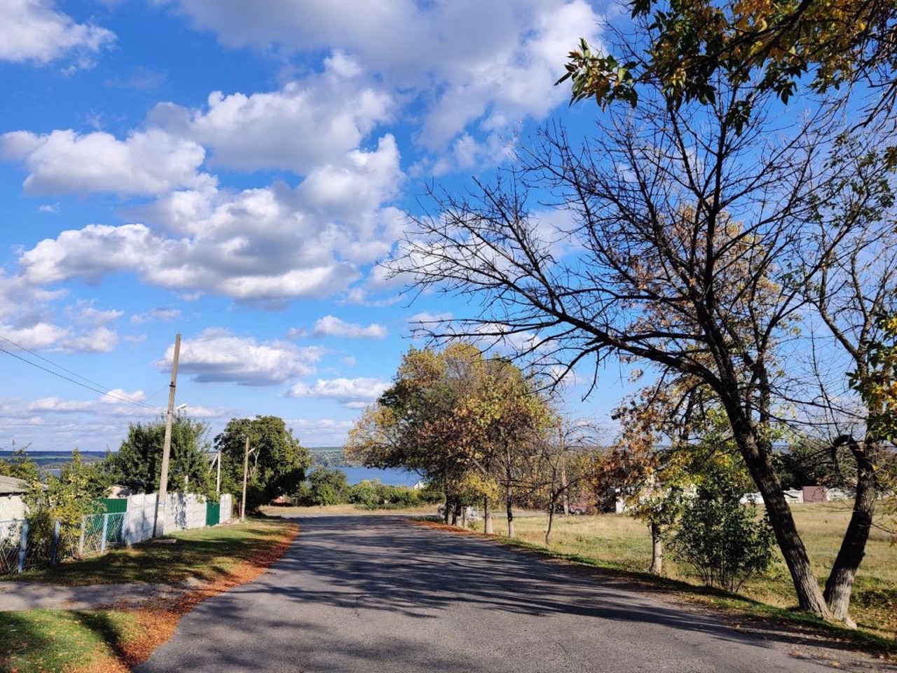
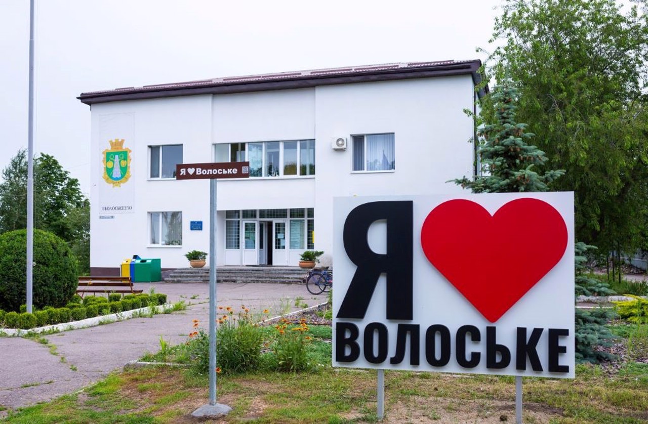
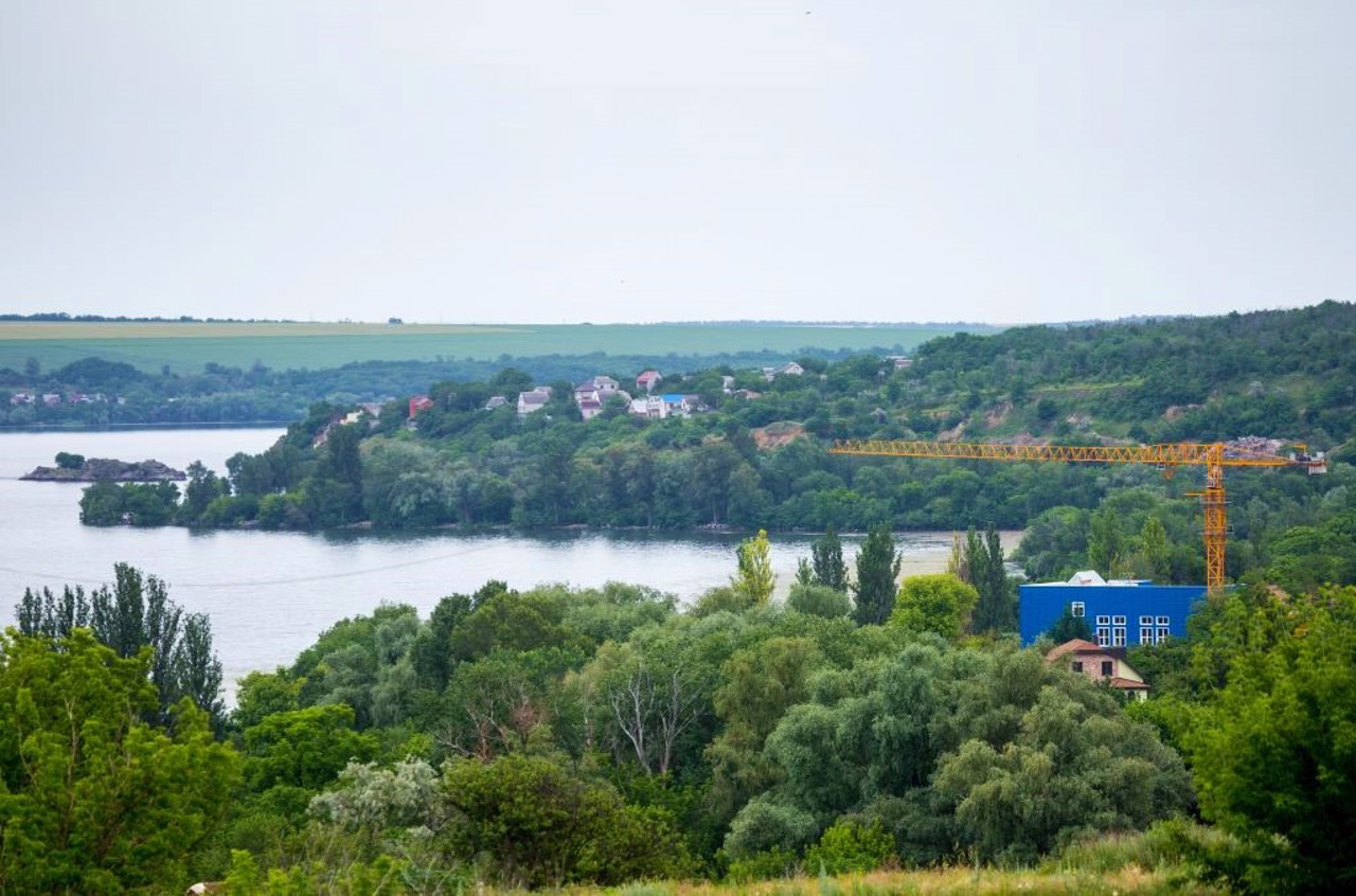
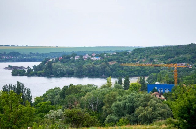
The village Voloske is located on the right bank of the Dnipro river at the confluence of the Mokra Sura River, a southern suburb of the Dnipro. Administratively, it is part of the Dnipro district of Dnipropetrovsk region/
The settlement was founded by Wallachians (Moldavians) who came here during the Russo-Turkish war.
There are many archaeological monuments in this area, including Scythian mounds. An ancient burial of people of the Negroid race (8th millennium BC) with traces of violent death was found.
The "Catherine Mile" on th ...
The village Voloske is located on the right bank of the Dnipro river at the confluence of the Mokra Sura River, a southern suburb of the Dnipro. Administratively, it is part of the Dnipro district of Dnipropetrovsk region/
The settlement was founded by Wallachians (Moldavians) who came here during the Russo-Turkish war.
There are many archaeological monuments in this area, including Scythian mounds. An ancient burial of people of the Negroid race (8th millennium BC) with traces of violent death was found.
The "Catherine Mile" on the path of Empress Catherine II to the Crimea has been preserved.
Село Волоське розташоване на правому березі Дніпра при впаданні в нього річки Мокра Сура, південне передмістя Дніпра. Адміністративно входить до складу Дніпровського району Дніпропетровської області.
Поселення засноване волохами (молдаванами), які потрапили сюди під час російсько-турецької війни.
В цьому районі багато пам'яток археології, зокрема скіфських курганів. Знайдено стародавнє поховання людей негроїдної раси (8 тисячоліття до нашої ери) зі слідами насильницької смерті.
Збереглася "Катерининська миля" на шляху проходження ім ...
Село Волоське розташоване на правому березі Дніпра при впаданні в нього річки Мокра Сура, південне передмістя Дніпра. Адміністративно входить до складу Дніпровського району Дніпропетровської області.
Поселення засноване волохами (молдаванами), які потрапили сюди під час російсько-турецької війни.
В цьому районі багато пам'яток археології, зокрема скіфських курганів. Знайдено стародавнє поховання людей негроїдної раси (8 тисячоліття до нашої ери) зі слідами насильницької смерті.
Збереглася "Катерининська миля" на шляху проходження імператриці Катерини II до Криму.
Сплануй своє перебування у Voloske
What to see and where to go in Voloske
Tourist attractions and museums of Voloske
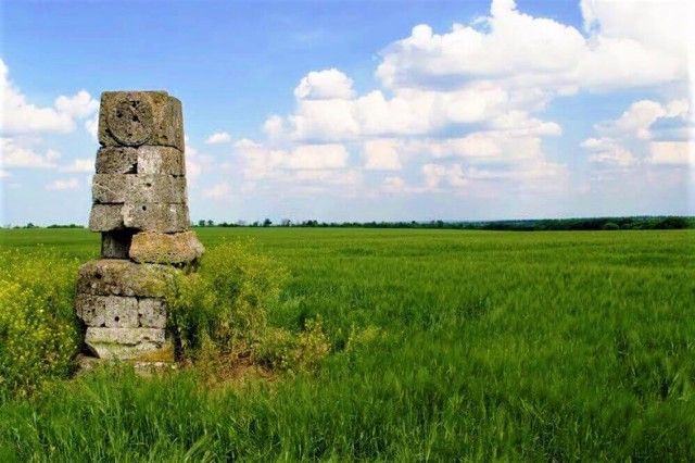
Catherine's mile
Monument
The Catherine's Mile in Voloske is a road sign established in 1784-1787 on the route of Empress Catherine the Great during her journey through Novorossiya to the Crimea.
Similar signs were placed by order of Prince Hryhoriy Potomkin on the path of Catherine every 10 versts.
Catherine's mile is the lower part of a column of the Tuscan order with a hexagonal intercept in the middle and a cone-shaped finish, installed on a square pedestal.
On the southern outskirts of the village of Voloske is one of the five Catherine's miles preserved in the territory of Ukraine. It is located at the exit from the village towards Maiorka.
Reviews Voloske
Geographical information about Voloske
| {{itemKey}} | {{itemValue}} |
|---|---|
| Region |
Dnipropetrovsk |
